NASA Space Apps Exeter - Team FISHEYE 🐟👀
Smash your SDGs! (SDG 14) Here
Conserve and sustainably use the oceans, seas and marine resources for sustainable development

To achieve sustainable development of fisheries, fish stocks must be maintained at a biologically sustainable level. Analyses reveal that the fraction of world marine fish stocks that are within biologically sustainable levels declined from 90 per cent in 1974 to 66.9 per cent in 2015.
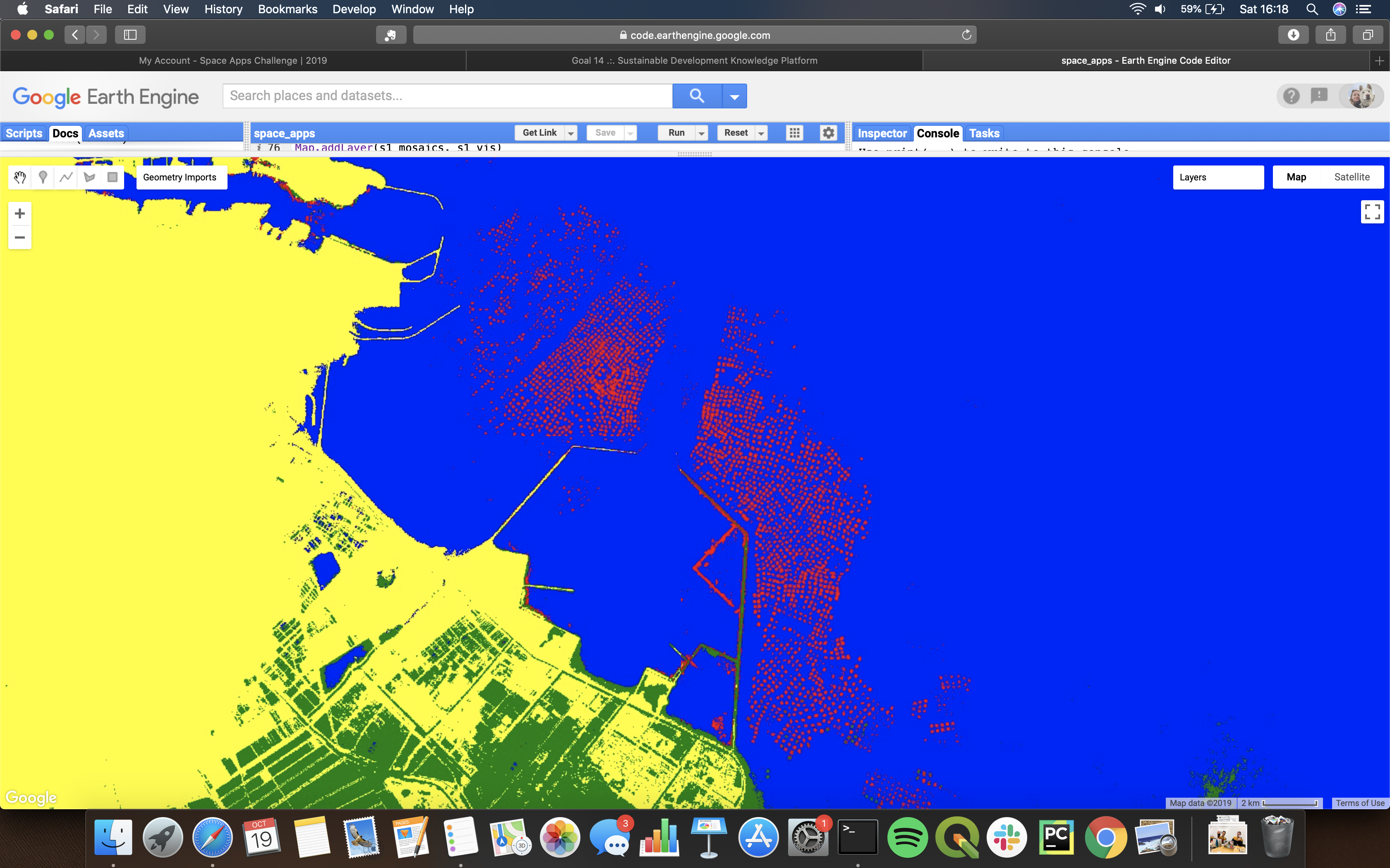
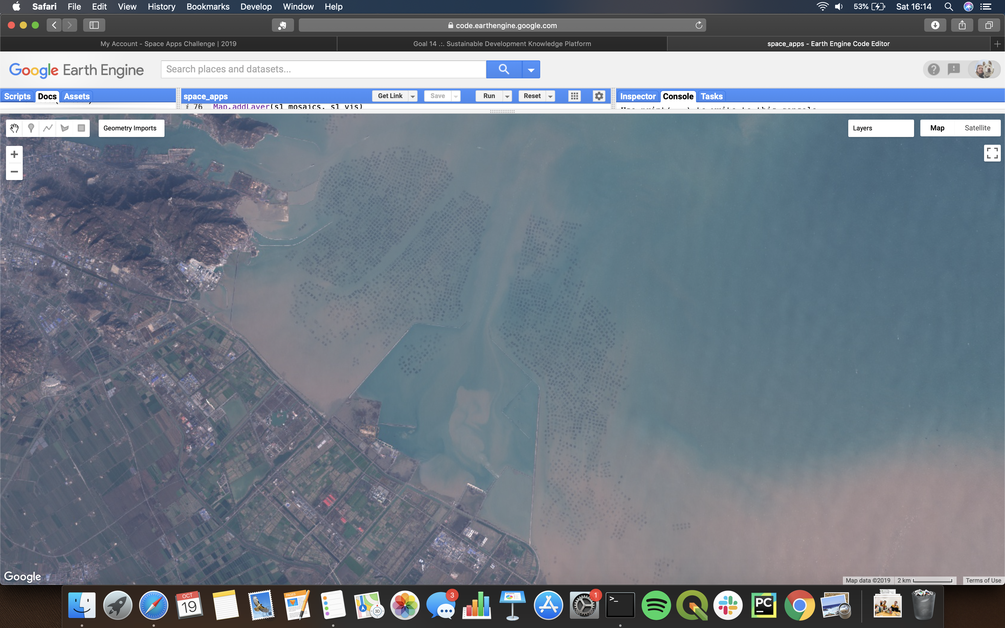
Using Google Earth Engine and imagery from Landsat 8, Sentinels 1&2, we are producing predictions on the presence of aquaculture so that we can keep track of their usage and size. Helping to cheaply and quickly inform policy makers.
Earth Engine - https://earthengine.google.com
Landsat 8 - https://landsat.gsfc.nasa.gov/landsat-data-continuity-mission/
Sentinel 1 - https://sentinel.esa.int/web/sentinel/missions/sentinel-1
Sentinel 2 - https://sentinel.esa.int/web/sentinel/missions/sentinel-2
Slides - https://docs.google.com/presentation/d/1M5FzcFSIOrnppGvnrZVM22P27W2oo2FBQfgsIgMCtwo/edit?usp=sharing
Earth Engine Code - https://code.earthengine.google.com/db308ad46351f824ebbe45acf1f4c599

