
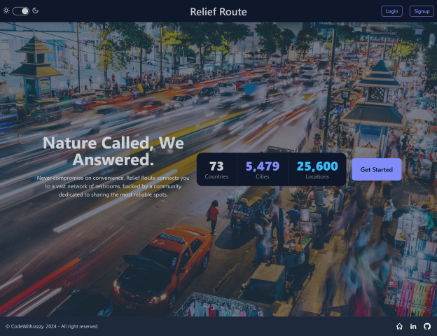
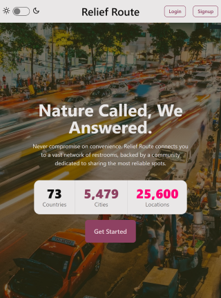
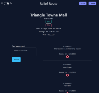
Relief Route is a user-centric web application designed to alleviate the stress of finding accessible restrooms in unfamiliar territories. Leveraging intuitive geolocation capabilities, it connects users to a comprehensive directory of over 25,000 restroom facilities worldwide. With Relief Route, users gain the convenience and confidence of locating restrooms on-the-go, ensuring a smoother and worry-free travel experience.
- Extensive Database
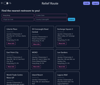
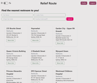
- Advanced Search Functionality
- User Reviews and Ratings
- User Profiles
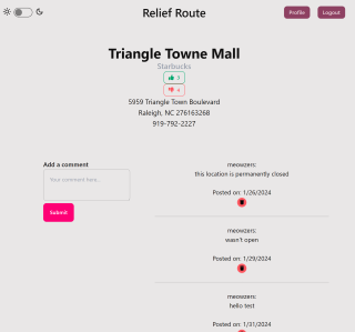
- Light/dark mode toggle
I learned quite a lot working on this project, a lot of breaking and figuring things out
-
MongoDB Database Tools, command line utilities for database deployment: importing/ exporting/ restoring data from a large CSV file.
-
TailwindCSS and plugins: first time using this framework. I installed it via npm,used custom breakpoints, and I also installed the DaisyUI plug-in for additional colors and components.
-
Mongoose vs native MongoDB driver methods: My database had varying input types for two of my fields. In several attempts to maintain consistency across the application I struggled to create a model / schema for the already exisiting locations. I had to forego creating the schema and instead use the native driver to manipulate the data for locations. I was able to add new fields this way, and left the model file as a reference.
-
Deprecated modules: struggled a bit with a couple deprecated modules that
npm audit fixwould not fix. A clean install, update @latest, and audit fix--force worked for certain modules.
- User submitted locations
- Third-party auth logins
- Live map pin-pointing functionality
- User profile avatars
- Location flagging for permanently closed locations