Provides convenient method to download Seattle related shapefiles and convert some of them to TopoJSON format.
Inspired by Bostock's world-atlas.
Idea copied from and based on Justin Palmer's portland-atlas.
Before you can run make, you’ll need to install Node and ogr2ogr and some other prereqs. If you are on Mac OS X, and using Homebrew then just run:
brew install node
brew install gdal
brew install cairo
And then, from this repository’s root directory, install the dependencies:
npm install| ... | ... | ... |
|---|---|---|
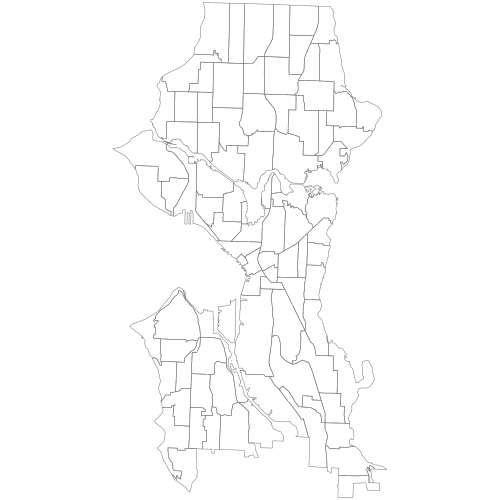 Neighborhoods Neighborhoods |
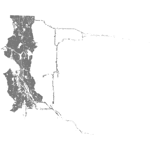 Building Footprints Building Footprints |
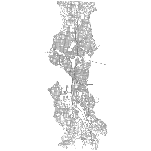 Streets Streets |
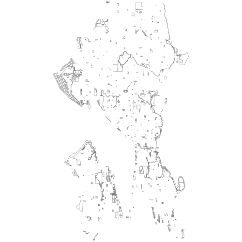 Parks Parks |
 Zoning Zoning |
 Trees Trees |
 Shorelines Shorelines |
 Streams Streams |
 Addresses Addresses |
 Census Tracts Census Tracts |
 School Districts School Districts |
 Block Groups Block Groups |
 Beach Access Beach Access |
 Geo Names Geo Names |
 Tribal Lands Tribal Lands |
All Make Targets can be run using make. Example:
make shp/buildings.shpshp/osm.shp
Shapefiles from Metro Extracts.
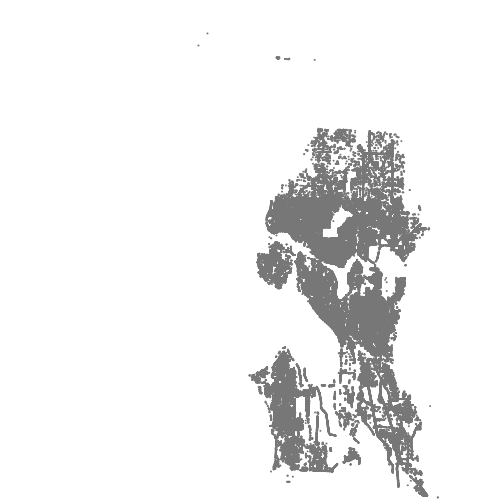
shp/buildings.shp
2009 building footprints from Data Portal
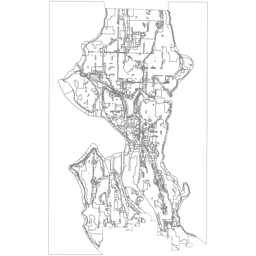
shp/neighborhoods.shp
Neighborhood outlines from Data Portal
shp/streets.shp
Street Network data from Data Portal
shp/parks.shp
Parks from Data Portal
shp/zoning.shp
Zoning from Data Portal
shp/trees.shp
Tree locations from Data Portal
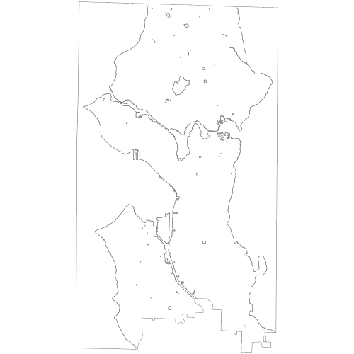
shp/shorelines.shp
Shoreline data from Data Portal
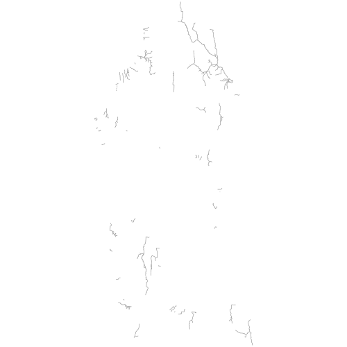
shp/streams.shp
stream data from Data Portal
shp/urban-villages.shp
from Data Portal
shp/tracts.shp
Census Tracts for Washington - from Census
shp/beach-access.shp
Beach Access Sites from WA Ecology Dept
shp/geo-names.shp
Geographic Names Information System from WA Ecology Dept
Here are some other links for GIS / Shapefile data for Washington / Seattle: