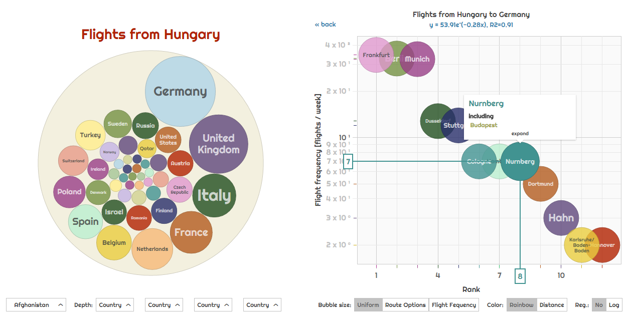
This is an interactive visualization interface (exploratorium) for all the flights in the world, clustered by countries, cities, airlines and airports. We provide a bubbles visualization and a scatter-plot in a side-by-side layout for easy exploration of the data.
This is an interactive global visualization and exploration interface (exploratorium).
- Data source was http://airportia.com
- Flights for the first 2 weeks of April 2017 were scraped.
- Data mining, processing and normalization done in
pythonandpandas. - Country maps visualized in D3, such as this one.
- Main app visualized in D3plus.
Try: http://aviation.csaladen.es
Coming soon
Dénes Csala, 2017
http://csaladen.es
