Our mission is to save lives using data science. For this project, we hope to help communities respond to wildfires by providing resources for planning and mitigation.
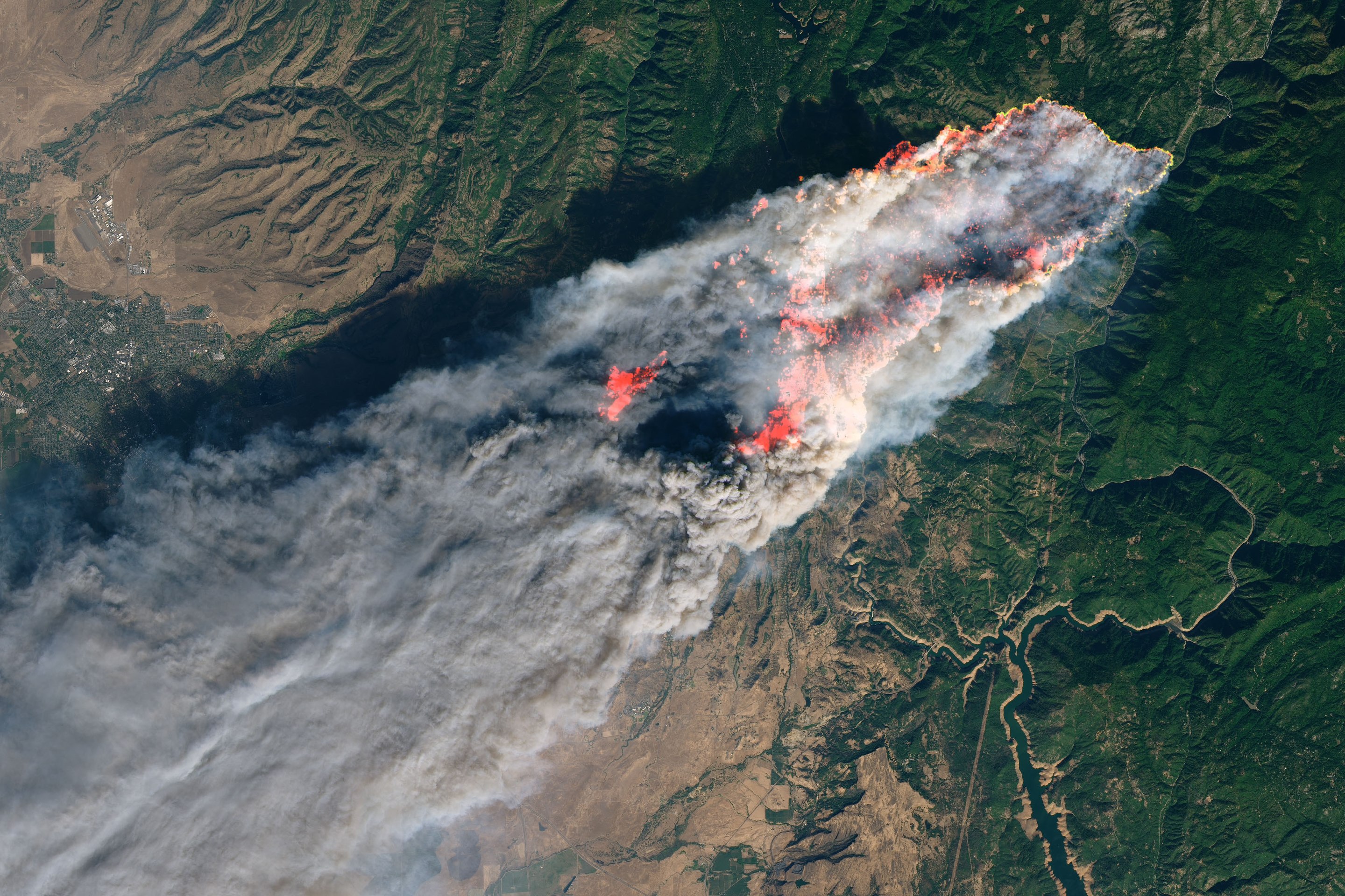
In November of 2018, the town of Paradise California was consumed by the Camp Fire.
Since then the [frequency and intensity of wildfires has increased in the United States](https://www.ucsusa.org/resources/climate-change-and-wildfires). To help decision makers across the US make informed decisions about evacuations during wildfires, we have created tools that: - estimate the time needed to evacuate a city - determine the connectivity of roadways within cities - determine the resilience of roadway networks when areas are congested or occluded by obstaclesEvacuation time estimates, connectivity and resiliance metrics can be visualized with the interactive map below.
<iframe width="175%" height="500px" src="https://studio.unfolded.ai/public/ae438921-4fd0-471d-9c35-1ae853a8d123/embed" frameborder="0" allowfullscreen></iframe> ## Research Currently, research efforts are focused on estimating roadway capacities during wildfire evacuations. |
|---|
 |


