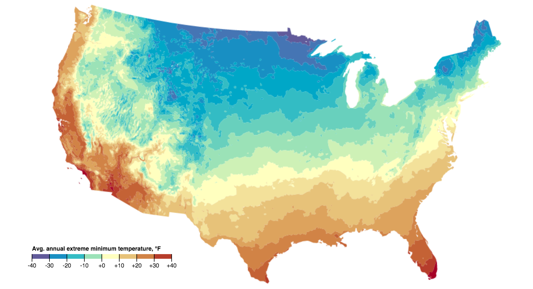
OPHZ-C is the most-current flavor - it is recommended you start there
OPHZ is free and open raster and vector data derived from the public domain map images available at: http://planthardiness.ars.usda.gov/
The data is available in different flavors, each representing a different level of processing.
-
PHZM-US48 is the original PDF (in an Albers Conical Equal Area projection), downloaded from http://planthardiness.ars.usda.gov/PHZMWeb/Images/All_states_halfzones_poster_rgb_300dpi.pdf
-
OPHZ-A is a raster of data values, where each colored pixel of PHZM-US48 has been translated to a value representing lower end of each zone's temperature range. Labels, state boundaries, and the elevation hillshade have been removed, although international borders, coastlines, and a few major rivers appear as -98. Open water is -99. This raster is currently limited to the 48 contiguous US states (US48).
-
OPHZ-B is identical to OPHZ-A, except that international borders and coastlines have been filled with the nearest data values. This is particularly useful for regions such as the lovely crinkly edges of Maine.
-
OPHZ-C Fills riverways and splits the dataset by state, though the CONUS full dataset is available here as well. All subsets here are in WGS84
Using d3js, viewable here.
