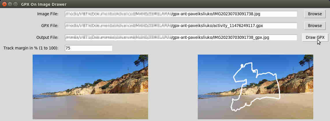
This small utility performs a simple task: it draws a GPX track on any image the user provides. It is inspired by old functionality of Endomondo, which is now long gone.
This utility was generated mostly by ChatGPT, as I, the developer, don't have enough experience with image processing libraries and GPX workflow. Also, I don't have the experience with GUI, especially working with Python (just some QT tinkering). However, I still had to add semi-correct coordinates mapping, drawing on the image itself and some more GUI functionality:
There are some possibilities to make this utility better.
Coordinate mapping to the image should take into account the latitute and its effect on proportional distance beteen longitudinal points. This is now implemented using distances and bearings between coordinates and offsetting the track to the image center. Should be just fine with any coordinate set in any part of the world.
It would be nice to add track title, average speed/pace, heart rate and anything else, which is deemed worth sharing. Currently I, myself, share image from Garmin Connect with stats and then additionally put the track on it.
