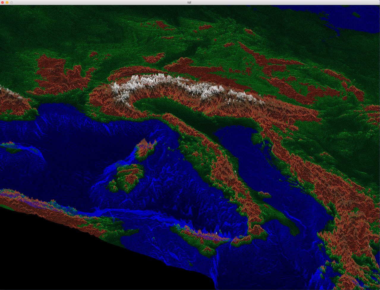
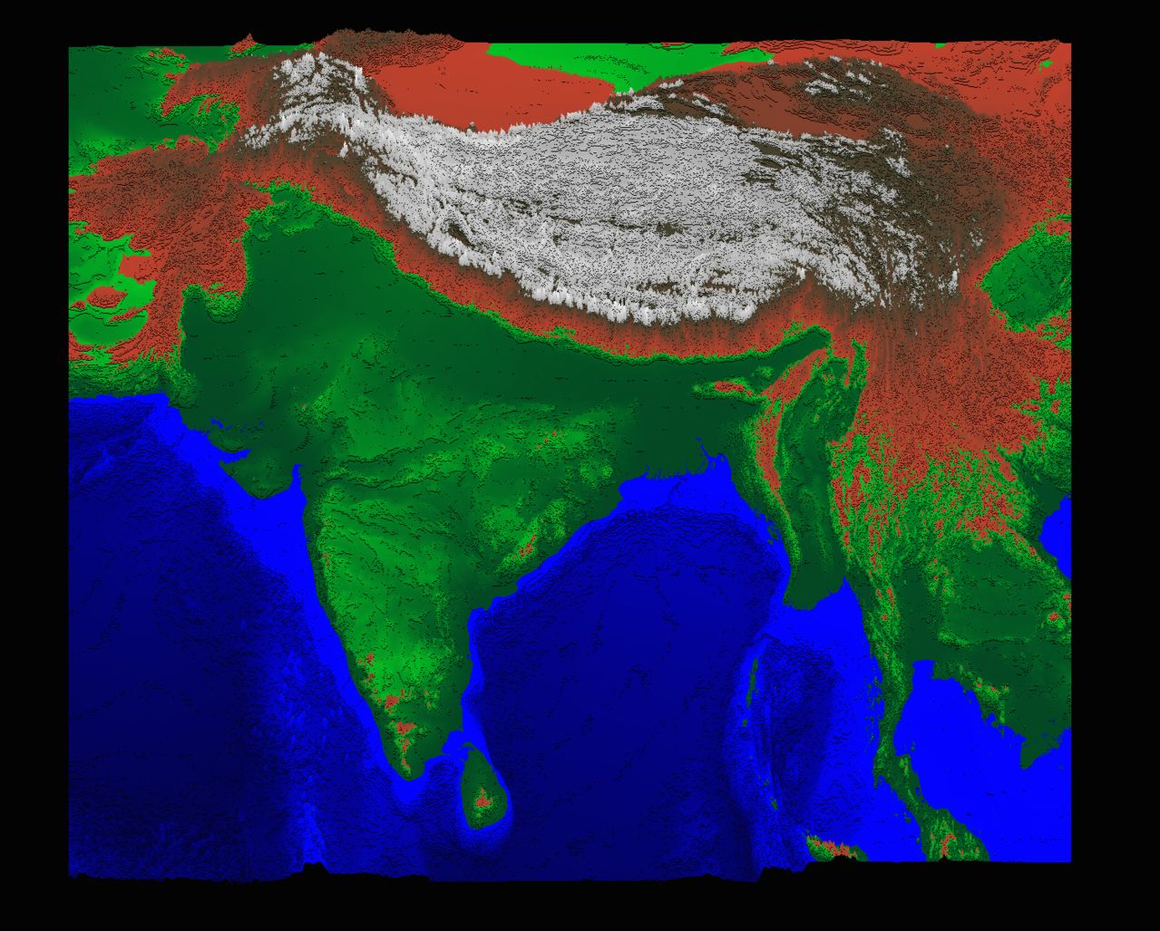
Get a visual representation of your topographic data.
You can use any data array you wish.
Only works on OSX.
First, run :
make
Then, for example :
./fdf 42.fdf
Keys :
- Move around : W, A, S, D
- Move view : Arrow keys
- Zoom in/out : Z / X
- Change colors : F
- Change viewmode : M
- Change altitude of a point : left/right click
- Change general height of points : J / H

