ERML sample implementation
Example implementation of a ERML lite service
Docker mapserver
using https://hub.docker.com/r/pdok/mapserver
docker run -e MS_MAPFILE=/srv/data/erml.map --rm -d -p 80:80 --name ms -v ``pwd``/data:/srv/data pdok/mapserver
Powershell
docker run -e MS_MAPFILE=/srv/data/erml.map --rm -d -p 80:80 --name ms -v \etc\erml\data:/srv/data pdok/mapserver
- -e passes a environment variable to the container
- --rm remove the container when it's stopped
- -p maps internal and external ports
- --name name for the running container
- -v maps host path to a path inside the container. therefore, /src/data inside the container actually maps to \etc\erml\data to my machine
- pdok/mapserver is the image that will be started
TODO: replace \etc\erml to a powershell variable.. {$pwd} causes error
examples
(this will work when you have a local running instance)
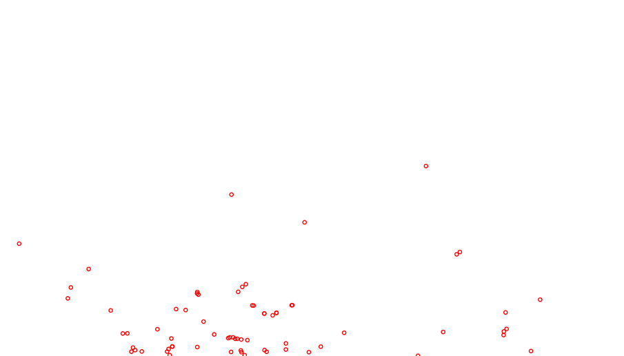
returns an image of the layer
http://localhost/?SERVICE=WFS&VERSION=2.0.0&REQUEST=GetFeature&TYPENAMES=erml:MineView&COUNT=2
Almost there
<?xml version='1.0' encoding="UTF-8" ?>
<wfs:FeatureCollection
xmlns:erml="http://xmlns.earthresourceml.org/earthresourceml-lite/2.0"
xmlns:gml="http://www.opengis.net/gml/3.2"
xmlns:wfs="http://www.opengis.net/wfs/2.0"
xmlns:xsi="http://www.w3.org/2001/XMLSchema-instance"
xsi:schemaLocation="http://xmlns.earthresourceml.org/earthresourceml-lite/2.0 http://localhost?SERVICE=WFS&VERSION=2.0.0&REQUEST=DescribeFeatureType&TYPENAME=erml:MineView&OUTPUTFORMAT=application%2Fgml%2Bxml%3B%20version%3D3.2 http://www.opengis.net/wfs/2.0 http://schemas.opengis.net/wfs/2.0/wfs.xsd http://www.opengis.net/gml/3.2 http://schemas.opengis.net/gml/3.2.1/gml.xsd"
timeStamp="2020-12-03T01:11:04" numberMatched="unknown" numberReturned="2"
next="http://localhost?SERVICE=WFS&VERSION=2.0.0&REQUEST=GetFeature&TYPENAMES=erml%3AMineView&COUNT=2&STARTINDEX=2">
<wfs:boundedBy>
<gml:Envelope srsName="urn:ogc:def:crs:EPSG::4326">
<gml:lowerCorner>49.845000 -56.087000</gml:lowerCorner>
<gml:upperCorner>49.915000 -55.775300</gml:upperCorner>
</gml:Envelope>
</wfs:boundedBy>
<wfs:member>
<erml:MineView gml:id="MineView.1">
<gml:boundedBy>
<gml:Envelope srsName="urn:ogc:def:crs:EPSG::4326">
<gml:lowerCorner>49.845000 -55.775300</gml:lowerCorner>
<gml:upperCorner>49.845000 -55.775300</gml:upperCorner>
</gml:Envelope>
</gml:boundedBy>
<erml:msGeometry>
<gml:Point gml:id="MineView.1.1" srsName="urn:ogc:def:crs:EPSG::4326">
<gml:pos>49.845000 -55.775300</gml:pos>
</gml:Point>
</erml:msGeometry>
<erml:identifier>1</erml:identifier>
<erml:name>Nugget Pond</erml:name>
<erml:status>active</erml:status>
<erml:commodity>Base metals</erml:commodity>
<erml:owner>Rambler Metals and Mining PLC</erml:owner>
<erml:startDate></erml:startDate>
<erml:endDate></erml:endDate>
<erml:observationMethod></erml:observationMethod>
<erml:positionalAccuracy></erml:positionalAccuracy>
<erml:source>mms</erml:source>
<erml:status_uri></erml:status_uri>
<erml:representativeCommodity></erml:representativeCommodity>
<erml:specification_uri></erml:specification_uri>
</erml:MineView>
</wfs:member>
<wfs:member>
<erml:MineView gml:id="MineView.2">
<gml:boundedBy>
<gml:Envelope srsName="urn:ogc:def:crs:EPSG::4326">
<gml:lowerCorner>49.915000 -56.087000</gml:lowerCorner>
<gml:upperCorner>49.915000 -56.087000</gml:upperCorner>
</gml:Envelope>
</gml:boundedBy>
<erml:msGeometry>
<gml:Point gml:id="MineView.2.1" srsName="urn:ogc:def:crs:EPSG::4326">
<gml:pos>49.915000 -56.087000</gml:pos>
</gml:Point>
</erml:msGeometry>
<erml:identifier>2</erml:identifier>
<erml:name>Ming</erml:name>
<erml:status>active</erml:status>
<erml:commodity>Base metals</erml:commodity>
<erml:owner>Rambler Metals and Mining PLC</erml:owner>
<erml:startDate></erml:startDate>
<erml:endDate></erml:endDate>
<erml:observationMethod></erml:observationMethod>
<erml:positionalAccuracy></erml:positionalAccuracy>
<erml:source>mms</erml:source>
<erml:status_uri></erml:status_uri>
<erml:representativeCommodity></erml:representativeCommodity>
<erml:specification_uri></erml:specification_uri>
</erml:MineView>
</wfs:member>
</wfs:FeatureCollection>