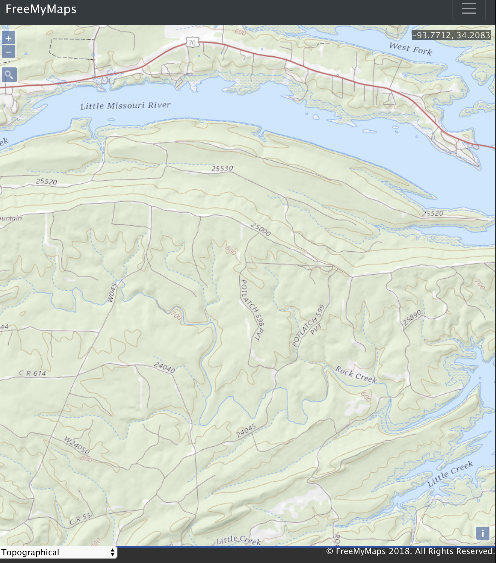
A completely free mapping application that you can use or modify for your own app! What could be better than that? I'll let you decide!
https://freemymaps.herokuapp.com/
-
8 different map types
- Topographical with Satellite (detailed view US only)
- Topographical with contour lines (detailed view US only)
- Normal Day
- Normal Day Transit
- Pedestrian Day
- Terrain Day
- Satellite Day
- Hybrid Day
P.S. check out this fantastic example that helped me quite a bit: https://openlayers.org/en/latest/examples/here-maps.html
-
OSM Geocoder
- Uses Open Street Map Data and ol-geocoder
-
Geolocation
-
It's surprisingly easy to get someone's location. The following code is all that is needed (public/javascripts/maps/mainMap.js line 360):
navigator.geolocation.getCurrentPosition((yourPosition) => {
  // yourPosition is an object from your brower's Geolocation API
});
-
Here's a link from Mozilla that goes into more detail
-
-
Drawing
- Freehand
- Not freehand
- Lines and Polygons (in case you forgot what a polygon is)
-
Accounts
- Can create an account with a unique username
-
Download
- As a png image
- GeoJSON data
If you have encountered a bug or would like to request a feature, please use the GitHub issue tracker.
