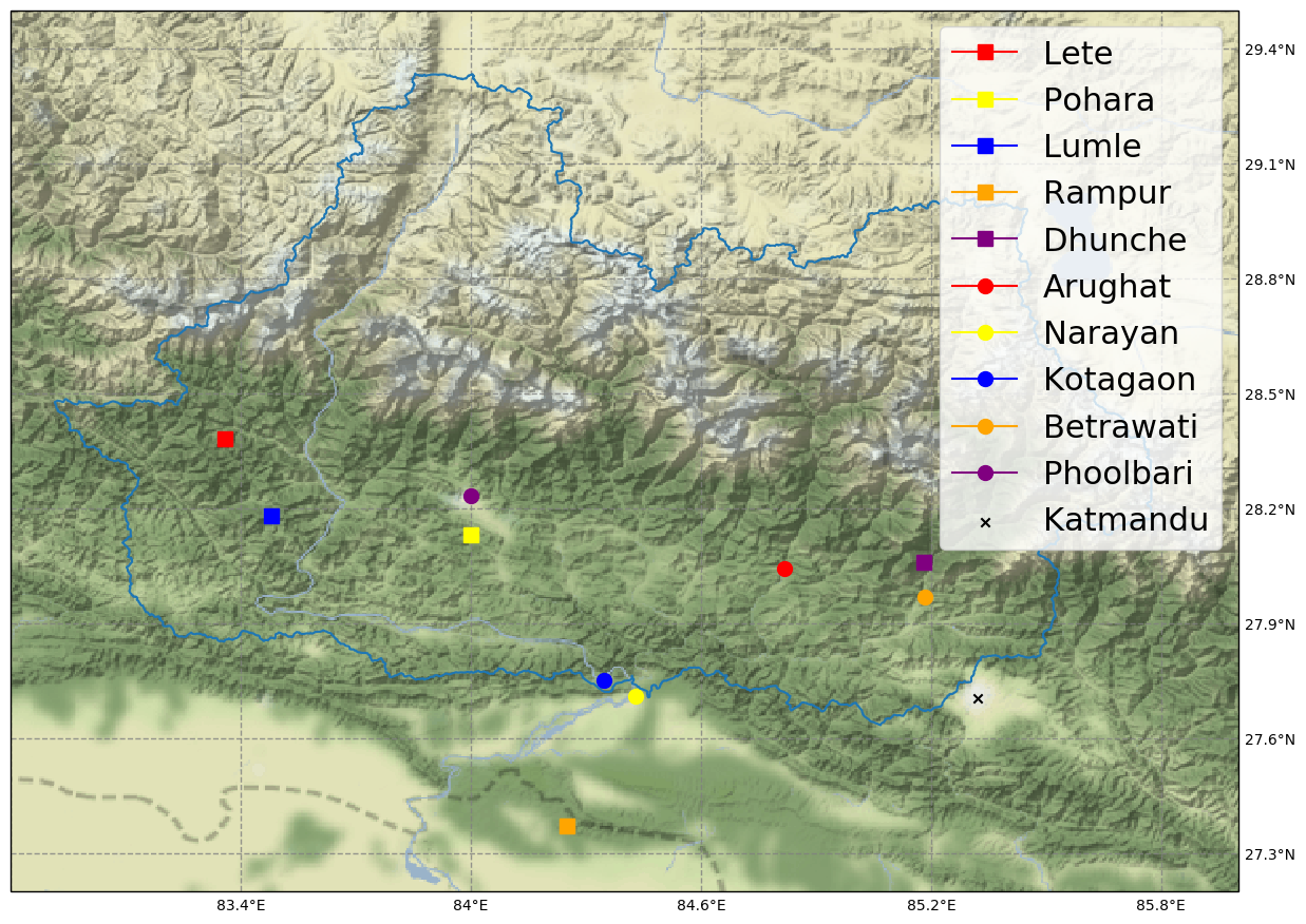
This project converts hydrological and meteorological datasets from stations located in the Narayani basin in Nepal to a format easily readable by pandas. It also contains functions for plotting timeseries and the stations location inside the basin.
Datasets can be requested from Department of Hydrology and Meteorology.
Edit src/common.py to set input and output folders.
Run src/convert.py to convert discharge, precipitation and temperature files to timeseries and store the output as csv files that are easily readable with pandas.
src/test_hyd.py runs some consistency checks on the discharge datasets to see if calculating monthly minimum, maximum and mean values match the provided values. For the test to pass for all the files we had available the accepted relative tolerance was set to 0.01. This might be due to missing data.
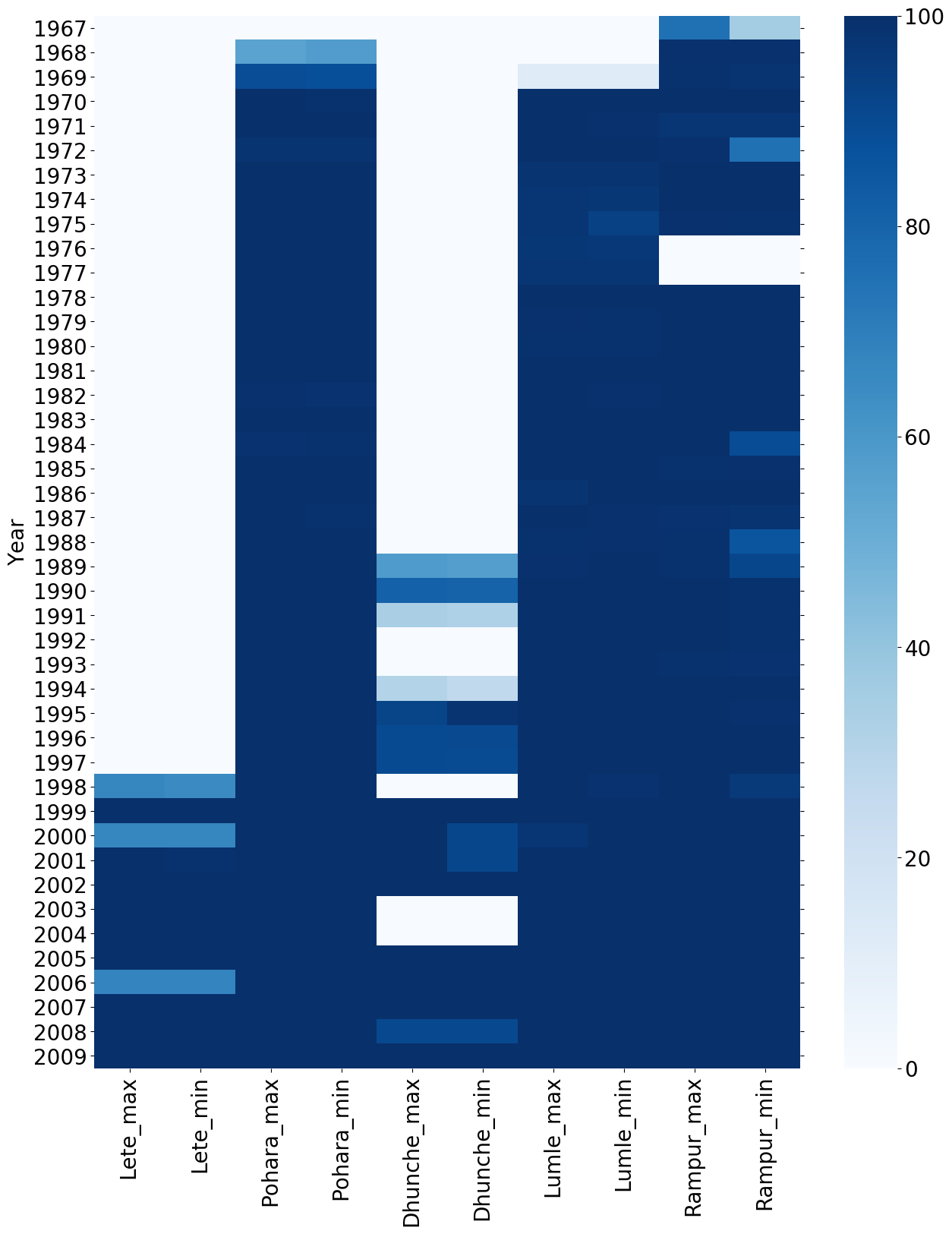
The quality of the datasets are varied. There are a lot of missing values and it is useful to use run src/plot.py after conversion to generate coverage plots. The color scale corresponds to coverage in percents.
Discharge data consists of daily totals and monthly minimum, mean and maximum values. The location information for each discharge station is on the format 27 45 00, which we assume to be sexagesimal degrees. We converted this data to decimal degrees with the formula $$ \text{decimal degrees} = \text{deegres} + \frac{\text{minutes}}{60}
- \frac{\text{seconds}}{3600}$$
Datasets contain daily minimum and maximum temperature and total daily precipitation. Entries with values of DNA or -99.9 is assumed to mean missing value and will be replaced with NaN by the conversion scripts. Some of the precipitation files contains values of T. This corresponds to 0.2 or less. These values are replaced with 0.2.
Coordinate format: 28.38 83.36
Assume this corresponds to decimal degrees, with first value latitude, second value longitude.

