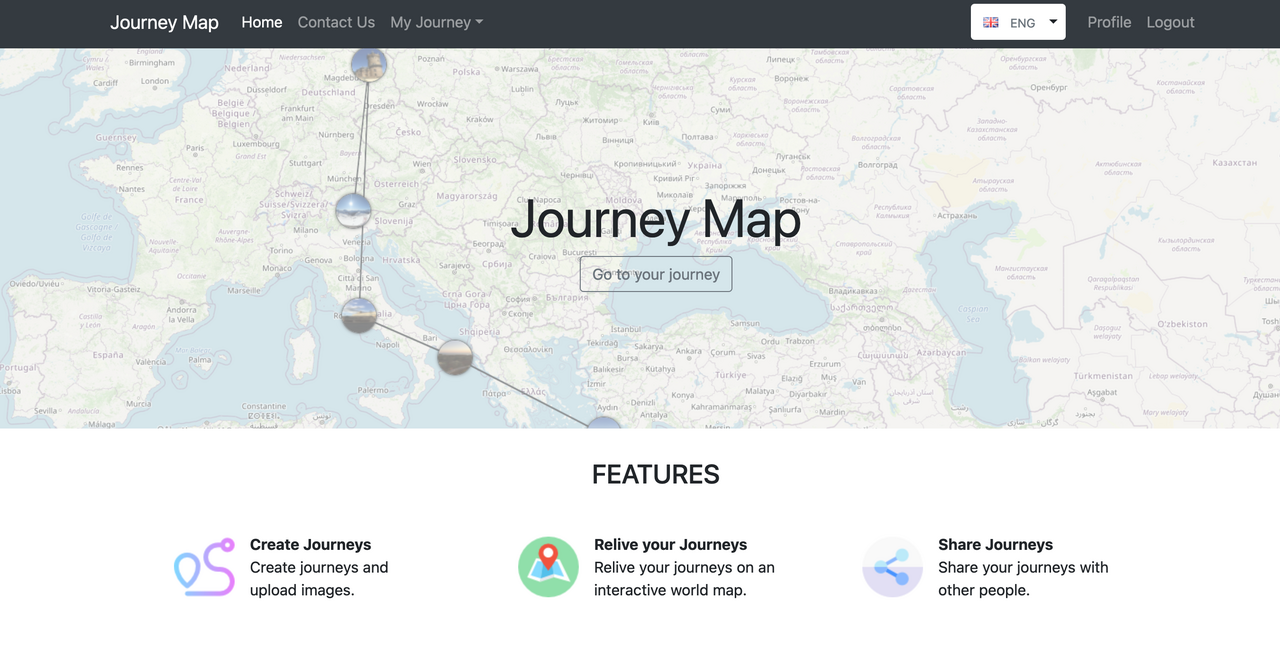
This Web application was build with Django.
If you want to deploy this application follow the offical Django deployment guide.
The main feature of this web-application is the possibility to upload pictures to a so called "journey".
If the picture contains EXIF with gps cordinates the picture will be marked on a "journey map", this can be done with multiple pictures re-creating so, a journey or vacation you took.
Many other features are implemented like:
- English, German and Italian translation
- Sign-Up with email confirmation and Sign-In
- Contact form
- Profile with picture and possibility to change own password
- Admin pannel
- Password reset (forgot password)
- Journey Map
- Share Journey
