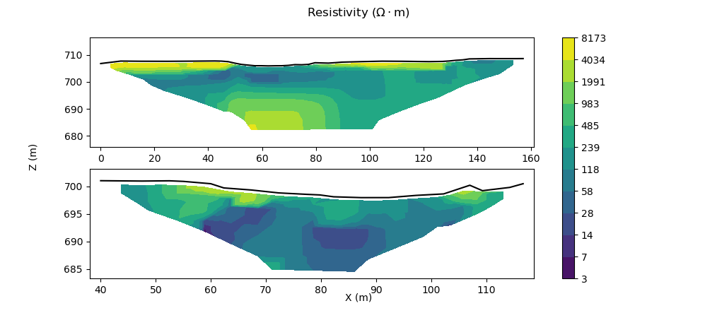
An alternative to RES2DINV's ugly plotting functionality.
ERTplot.py is a script that plots 2D electrical resistivity tomography (ERT) data with much more versatility than RES2DINV allows.
Please modify at will and send a pull request if you have ideas. :)
- Reads in an .xls/.xlsx file with X,Z,Res data (exported from RES2DINV, for example) and topography data (e.g. from GNSS survey)
- Plots this data with user-selected colour scheme, number of levels, values of levels, etc.
- Invert raw ERT data from your terrameter.
