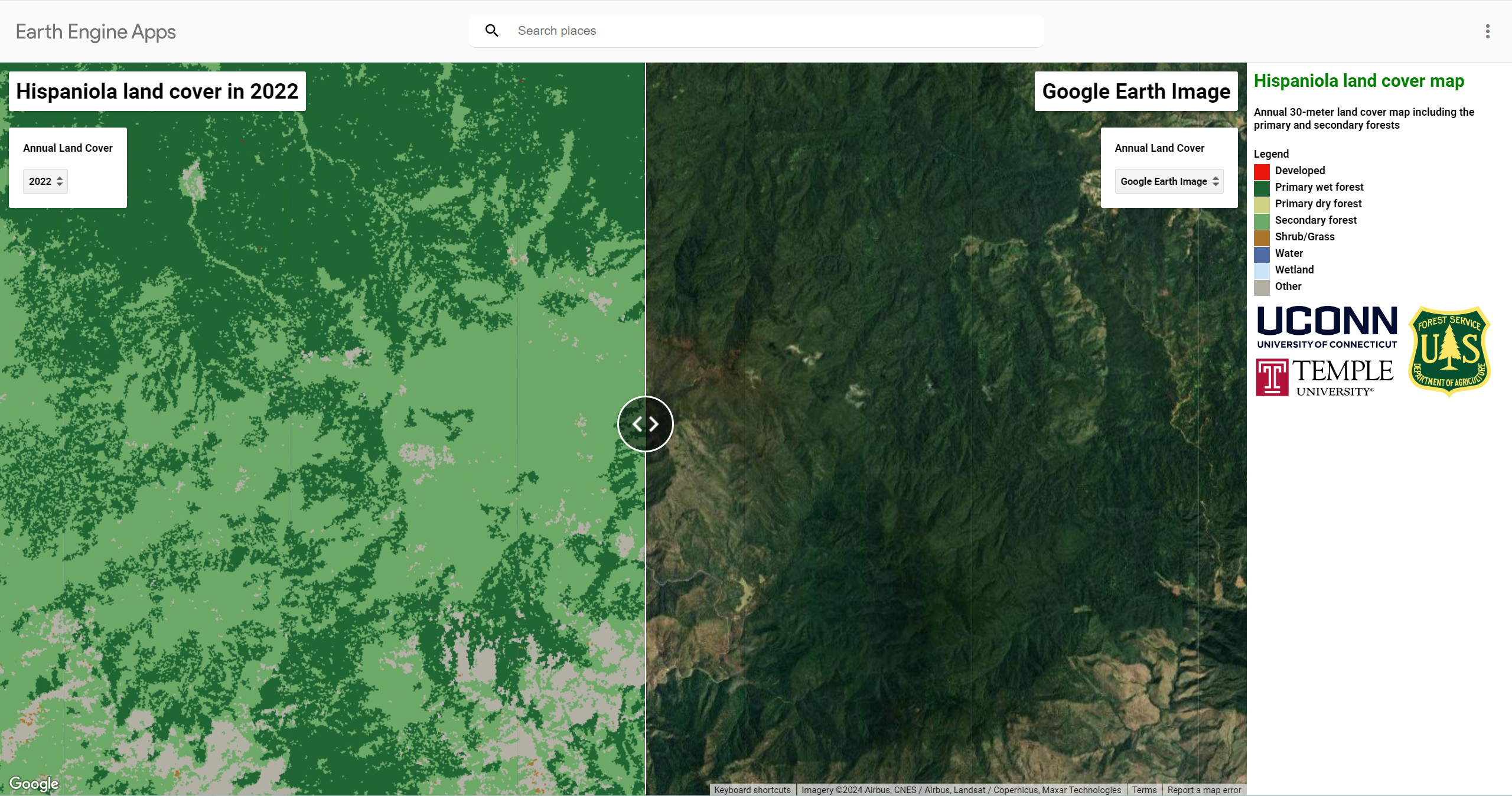
We use the COLD algorithm (COntinuous monitoring of Land Disturbance) and Landsat time-series to track the primary forest loss on the Island of Hispaniola.
Interactive maps are available at Google Earth Engine APP to view the land cover map: https://gers.users.earthengine.app/view/hispaniola-lc
Reference: Falu Hong, S. Blair Hedges, Zhiqiang Yang, Ji Won Suh, Shi Qiu, Joel Timyan, and Zhe Zhu. Decoding primary forest changes in Haiti and the Dominican Republic using Landsat time series (Under Review).
