
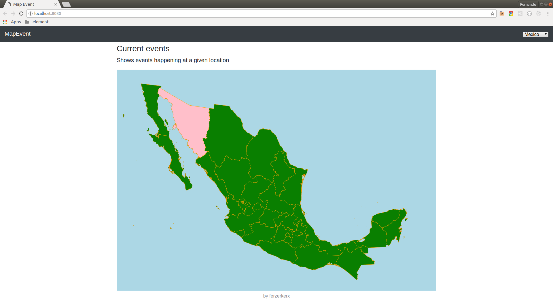
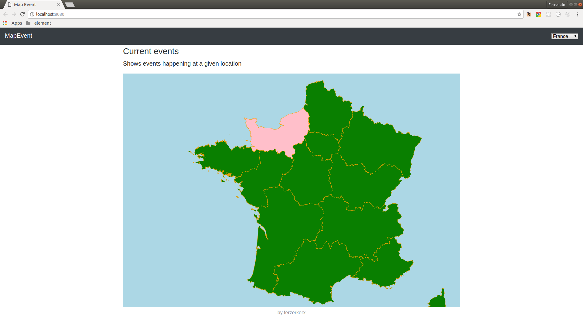
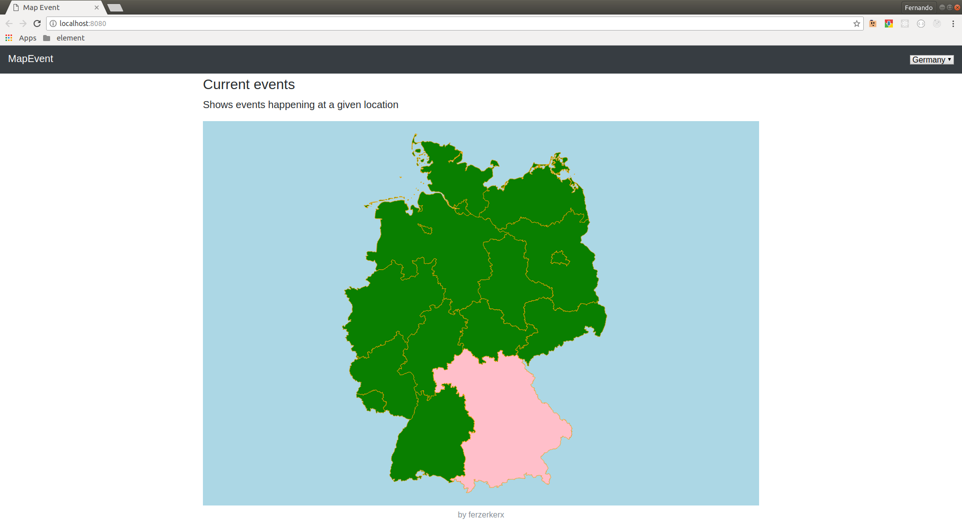
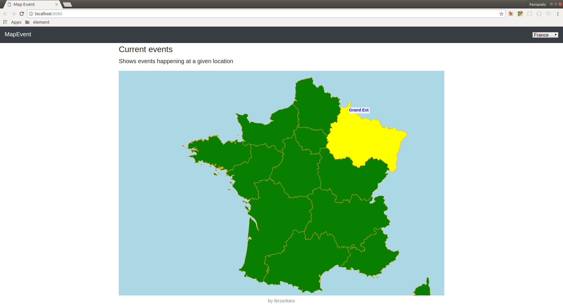
- Render a map based on a topojson file
- Highlight areas in a map when an event occurs matching the region name
- mouse over provides shows a toolip with region information
- yarn install
- yarn start to start the application
- yarn server to start notification server
-
download a map shipfile zip file from: https://gadm.org/download_country_v3.html
-
npm install -g shapefile
-
npm install -g topojson
-
convert each shapefile to gson:
- shp2json gadm36_DEU_0.shp -o feature_name.json
- or
- sudo apt-get install gdal-bin ogr2ogr -f GeoJSON your_gson_file.json gadm36_DEU_0.shp
-
convert it to topojson:
- topojson -o outputfile.json feature_name_1.json feature_name_2.json
-
When loading to d3.json be sure to be loading the feature you want:
- topojson.feature(jsonResponse, jsonResponse.objects.feature_name_1).features
-
Play around with the projection scale to fit the map
- https://www.statsilk.com/maps/download-free-shapefile-maps#download-country-shapefile-maps
- https://wiki.openstreetmap.org/wiki/Shapefiles
This project uses maps from gadm and therefore needs to use the same license if the same map data is used https://gadm.org/license.html