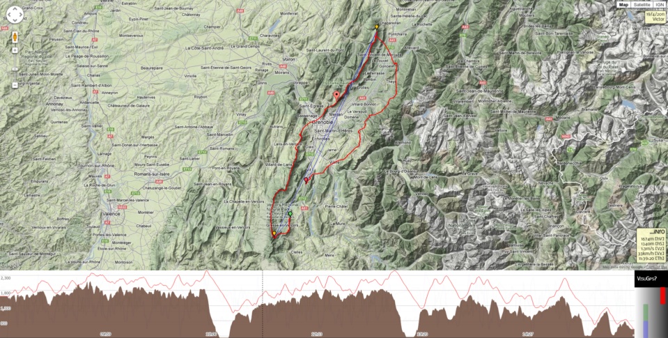
Display GPS tracks on top of Google maps.
Powered by:
This is the next version of VisuGps, one of my first web project. It has been rewritten to leverage the latest JS API form Google as the maps API v2 will be deprecated in 2013.
- Display a single or multiple tracks on top of a map,
- Display charts for elevation, horizontal & vertical speed,
- The track can be viewed in 3D
- on platforms where the GE plugin is supported,
- without any plugin if your browser support WebGL thanks to DoArama - based on Cesium
- Display markers for routes,
- Measure distances with the path plugin,
- Display restricted airspaces,
- Display skyways thanks to Michael von Känel,
- Switch to full screen mode,
- Topographic maps:
- use GeoJSON
- Josh Livni: Parts of the earth plugin have been inspired by his Earth API library for Maps v3
- Shama explains how to integrate geoportal tiles within Google maps API.
- Marcin Grysko explains how the spain ign tile server works.
- Nianwei Liu for some Transverse Mercator projection code.
