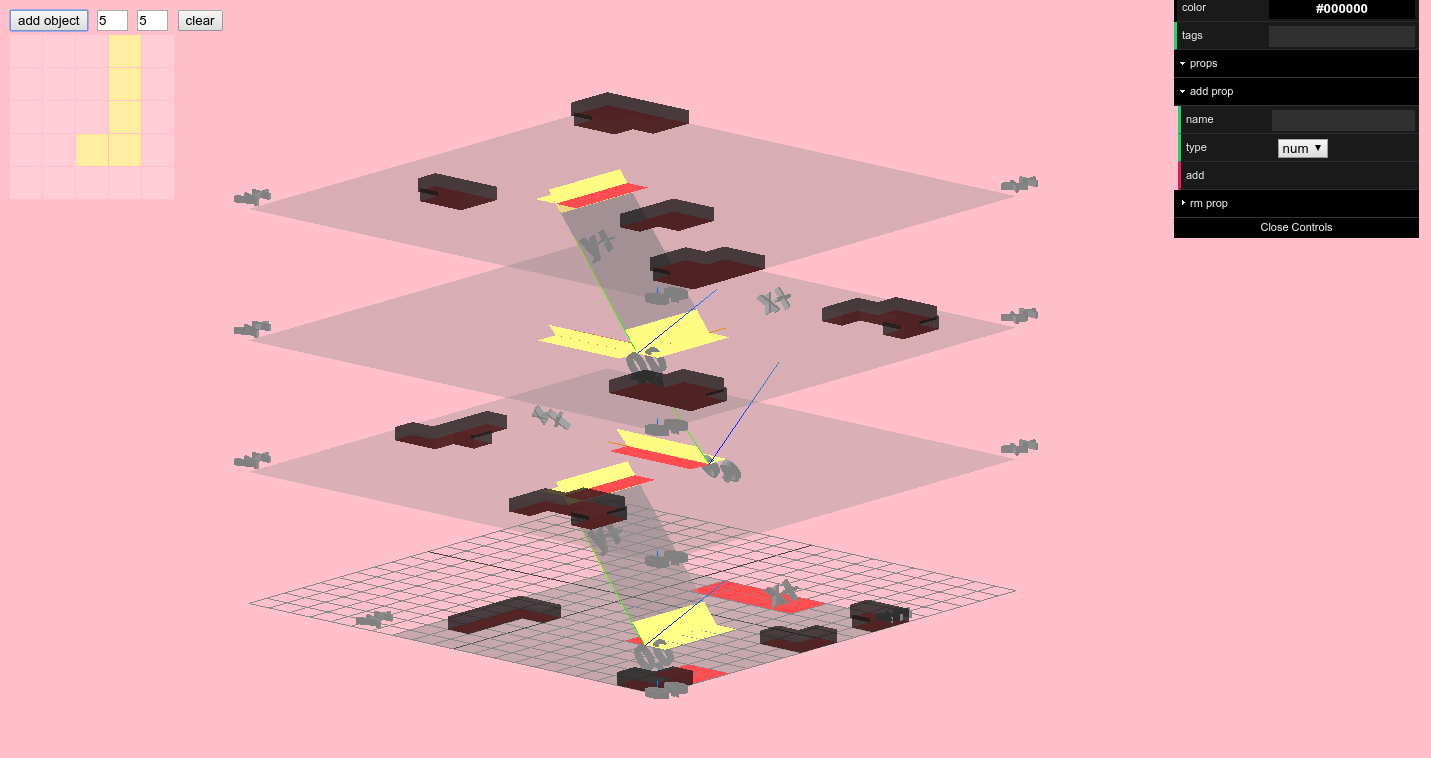
A new social type was being created by the apartment building, a cool, unemotional personality impervious to the psychological pressures of high-rise life, with minimal needs for privacy, who thrived like an advanced species of machine in the neutral atmosphere. - J.G. Ballard, High-Rise
setup:
npm install -d
run:
npm start
then open localhost:8081
or open http://localhost:8081/ui for the iPad(?) UI
or open http://localhost:8081/story for the story
first create the world:
const cellSize = 2;
const scene = new Scene('#stage');
const world = new World(cellSize, scene);
your html needs to have a canvas element with id stage.
then you can add a floor to the world by specifying a floor plan, e.g.:
var layout = ["#.#.#.#.-",
              "#. . .A.-",
              "#. . .A.-",
              "#.#.#.#.-"]
(the periods are delimiters that also correct the aspect ratio of the floor plans, a little)
# indicates a wall, (a space) indicates walkable floor, - indicates empty space.
characters indicate an object with that name, e.g. here the two As form a continuous object named A.
a floor can be added to the world like so:
world.addFloor(layout, 0, {
  'A': {
    'tags': ['a thing'],
    'props': {
      'weight': 10
    }
  }
})
basically, you pass in (layout, vertical coordinate, object properties) for that floor.
this is all built on a grid system where each cell (or voxel, since it's 3D) has a side length of cellSize. So there's a coordinate system for that.
there however is still the continuous coordinate system underneath.
i have to have different terms for each or i'm going to lose my mind
SO
- positions in the grid coordinate system (GCS) are referred to as
coord. they must be discrete (integer) values - positions in the continuous coordinate system (CCS) are referred to as
position. they can take on any real number
this is an arbitrary mapping but gotta have some consistency
i imagine there's some standard way of making this distinction that i'm oblivious to
the world is composed of surfaces and stairs (which are special surfaces that vertically connect other surfaces). they each have internal grid systems that have the same cellSize as the world's grid system and are also locked into the world's grid system.
pathfinding within a given surface is handled by the pathfinding.js library (i.e. A* search). the path for a given surface is just called a path.
pathfinding through surfaces is a little different (considering the vertical case here). we can represent the vertical structure of the world as a network, where non-stair surfaces are nodes and stairs are the edges. the path from a given node (surface) to another node (surface) is called a route, i.e. a route is composed of multiple paths. not quite sure this network representation can be easily coerced into a 2d grid which is what pathfinding.js needs
- no non-rectangular geometries are supported at present, but will be tackled...eventually
pathfinding.jstreats all nodes with equal weights (there are forks that work around this) but eventually we want to weight nodes. e.g. maybe one area is really noisy and this particular agent hates noisy areas. things get more complicated here because then there isn't just a objective grid for a surface, rather there is the objective grid (that communicates physical limitations, e.g. agents can't walk through objects) and a subjective/perceptual grid which depends on the agent doing the pathfinding.
