#r360-js
The Route360° JavaScript API is a modern open-source JavaScript library designed for Leaflet's mobile-friendly interactive maps. It is developed by Henning Hollburg and Daniel Gerber from the Motion Intelligence GmbH.
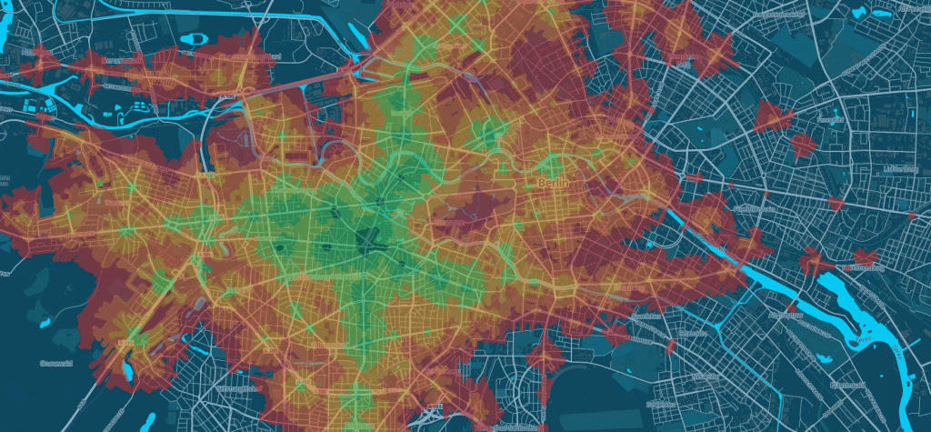
- Generate polygons which represent the area which is reachable from a given source point
- Supported for walk, car, bike and transit routing
- A number of predefined map controls (travel time slider, date and time chooser, travel type chooser, etc.)
- Detailed routing information from source to target (travel time, transit trips, etc.)
- Get routing information for hundreds of POIs in a single request in milliseconds
- Support for elevation data
A demonstration of the library's features, as well as detailed coding examples can be found here.
If you want to use Route360° yourself don't hesitate to contact us at mail@motionintelligence.net. Check out the tutorial and apply for your service key.
Naturtrip.org is a platform to plan your weekend activities with public transportation. No car needed. You can select different kinds of trips, e.g. 'animals', 'culture' and 'wellness', and it will show you only trips which are reachable within a given time frame. Additionally you get a travel plan, where all the stops, transfers and distances are included.
Sykledit was developed for governmental organization for the protection of consumers in norway. Users can instantly see how far they can go riding with their bikes. You can select different speed modes to match your fitness level. Elevation data is used to create exact routing and polygon information in a mountain righ area like norway.
The Business Location Center (Berlin) uses Route360° in its internal real estate portal to help find company's the perfect location.
You can use our project in bower
bower install route360 --save
