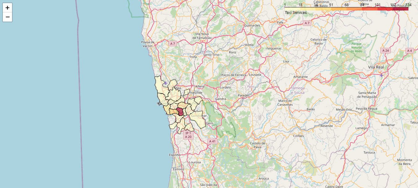
An academic project where I used folium, PostgreSQL and PostGIS to create a heatmap of Porto's taxi services (taxi_services and taxi_stands databases) with Portugal's district's borders (CAOP database) or with a grid based display. Databases are missing due to GitHub's file size restriction.
henriquejsb/TaxiServicesSQL
An academic project where I used folium, PostgreSQL and PostGIS to create a heatmap of taxi services with Portugal's district's borders or with a grid based display.
HTML
