A ggplot2 Geom for World Tile Grids
A “tile grid map” is a cartogram that uses same-sized tiles in approximate, relative positions of each other to represent a world map. The world tile grid relative position reference system used by this ‘ggplot2’ ‘Geom/Stat’ was the original work of ‘Jon Schwabish’ and converted to ‘CSV’ by ‘Maarten Lambrechts’.
- Ref: https://policyviz.com/2017/10/12/the-world-tile-grid-map/
- Ref: http://www.maartenlambrechts.com/2017/10/22/tutorial-a-worldtilegrid-with-ggplot2.html
The following functions are implemented:
geom_wtg: World Tile Grid Geomtheme_enhance_wtg: World tile grid theme cruft remover that can be used with any other themewtg: World Tile Grid Basemap Data
The following data is included/exported:
wtg: World Tile Grid Basemap Data
install.packages("worldtilegrid", repos = "https://cinc.rud.is")
# or
devtools::install_git("https://git.rud.is/hrbrmstr/worldtilegrid.git")
# or
devtools::install_git("https://git.sr.ht/~hrbrmstr/worldtilegrid")
# or
devtools::install_gitlab("hrbrmstr/worldtilegrid")
# or
devtools::install_bitbucket("hrbrmstr/worldtilegrid")
# or
devtools::install_github("hrbrmstr/worldtilegrid")library(worldtilegrid)
library(tidyverse)
# current verison
packageVersion("worldtilegrid")
## [1] '0.2.0'iso3cs <- worldtilegrid::wtg$alpha.3
set.seed(1)
data_frame(
ctry = iso3cs,
`Thing Val` = sample(1000, length(ctry))
) -> xdf
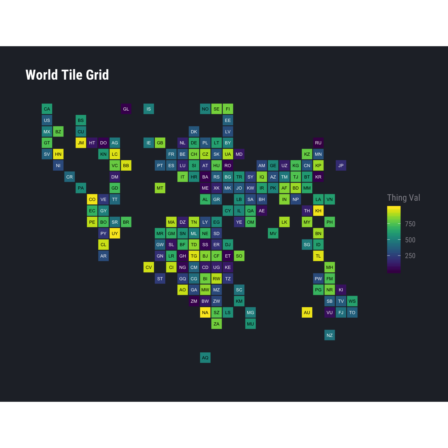
ggplot(xdf, aes(country = ctry, fill = `Thing Val`)) +
geom_wtg(border_size = 0.5, border_col = "#252a32") +
geom_text(
aes(
label = stat(alpha.2),
colour = I(ifelse(`Thing Val` < 500, "white", "black"))
),
stat = "wtg", size = 2
) +
coord_equal() +
viridis::scale_fill_viridis() +
labs(title = "World Tile Grid") +
hrbrthemes::theme_ft_rc() +
theme_enhance_wtg()set.seed(1)
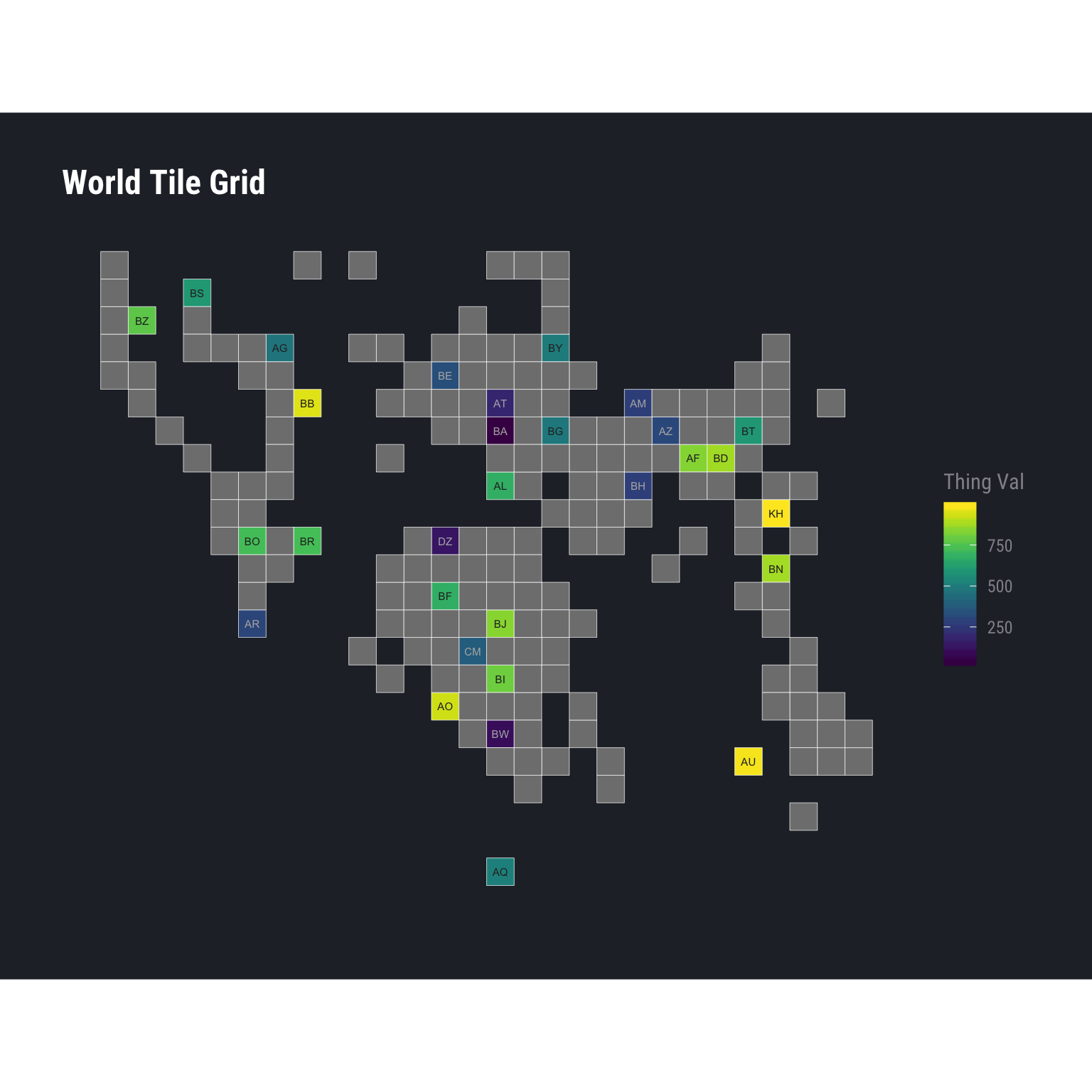
data_frame(
ctry = worldtilegrid::wtg$alpha.3[1:30],
`Thing Val` = sample(1000, length(ctry))
) -> xdf
ggplot(xdf, aes(country = ctry, fill = `Thing Val`)) +
geom_wtg() +
geom_text(
aes(
label = stat(alpha.2),
colour = I(ifelse(`Thing Val` < 400, "#b2b2b2", "#2b2b2b"))
),
stat="wtg", size=2
) +
coord_equal() +
viridis::scale_fill_viridis() +
labs(title = "World Tile Grid") +
hrbrthemes::theme_ft_rc() +
theme_enhance_wtg()set.seed(1)
data_frame(
ctry = worldtilegrid::wtg$alpha.3,
`Thing Val` = sample(1000, length(ctry)),
grp = 'Thing One'
) -> xdf1
data_frame(
ctry = worldtilegrid::wtg$alpha.3,
`Thing Val` = sample(1000, length(ctry)),
grp = 'Thing Two'
) -> xdf2
bind_rows(
xdf1,
xdf2
) -> xdf
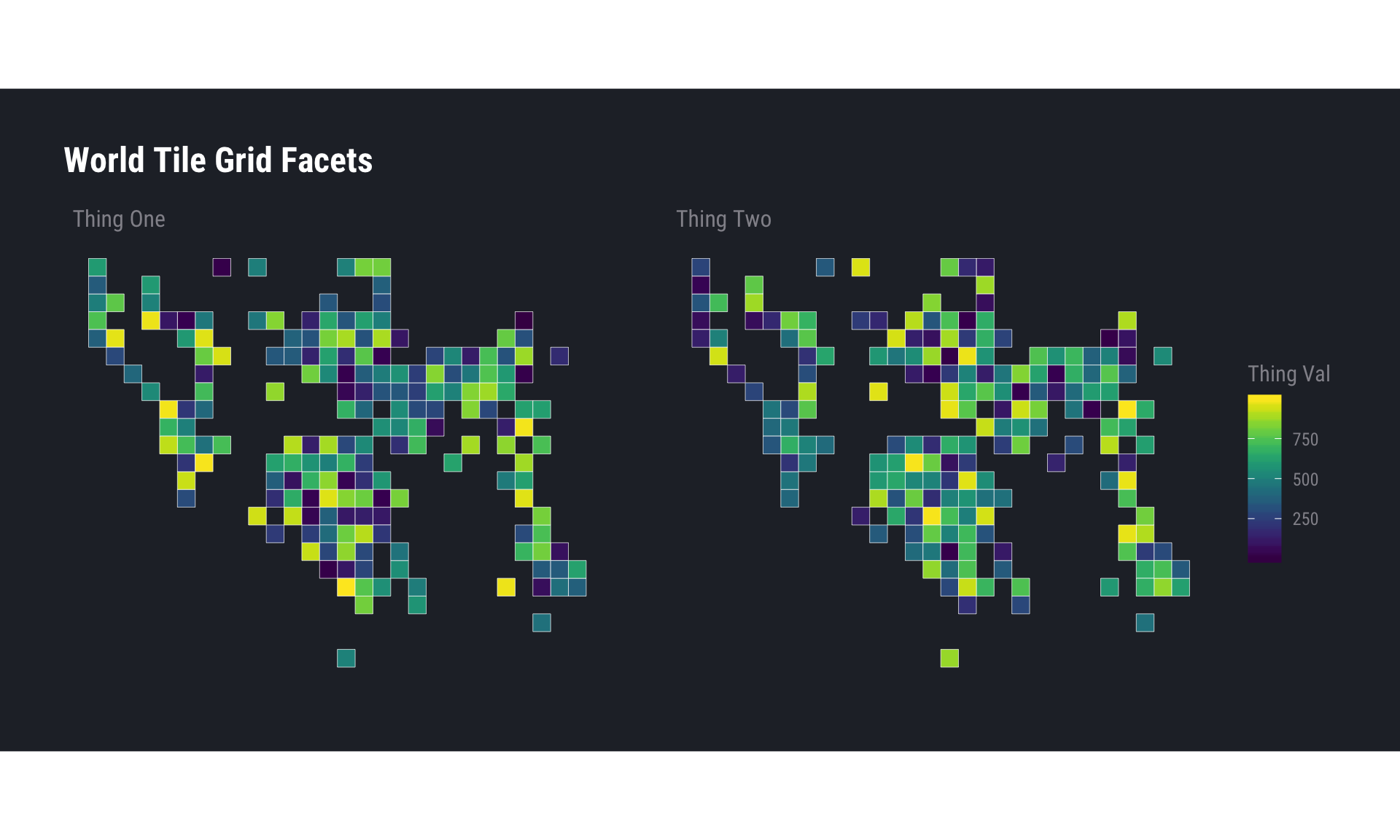
ggplot(xdf, aes(country = ctry, fill = `Thing Val`)) +
geom_wtg() +
coord_equal() +
facet_wrap(~grp) +
viridis::scale_fill_viridis() +
labs(title = "World Tile Grid Facets") +
hrbrthemes::theme_ft_rc() +
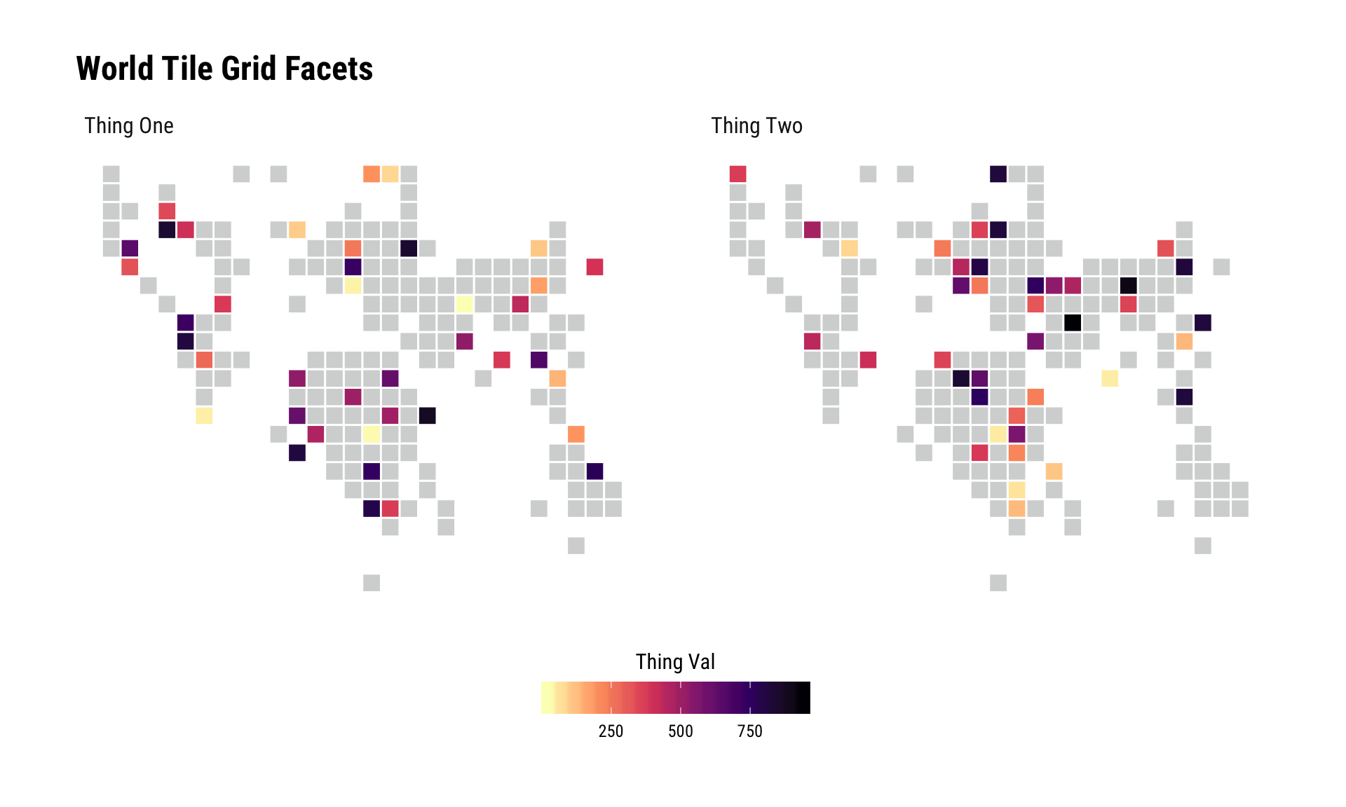
theme_enhance_wtg()The geom will fill in the gaps for you:
set.seed(1)
tibble(
  ctry = sample(iso3cs, 40),
  `Thing Val` = sample(1000, length(ctry)),
  grp = 'Thing One'
) -> xdf1

tibble(
  ctry = sample(iso3cs, 40),
  `Thing Val` = sample(1000, length(ctry)),
  grp = 'Thing Two'
) -> xdf2

bind_rows(
  xdf1,
  xdf2
) -> xdf

ggplot(xdf, aes(country = ctry, fill = `Thing Val`)) +
  geom_wtg(border_size = 0.5) +
  coord_equal() +
  facet_wrap(~grp) +
  scale_fill_viridis_c(
    na.value = alpha(hrbrthemes::ft_cols$gray, 2/5), direction = -1,
    option = "magma"
  ) +
  guides(
    fill = guide_colourbar(title.position = "top", title.hjust = 0.5)
  ) +
  labs(title = "World Tile Grid Facets") +
  hrbrthemes::theme_ipsum_rc() +
  theme_enhance_wtg() +
  theme(legend.position = "bottom") +
  theme(legend.key.width = unit(2, "lines"))


