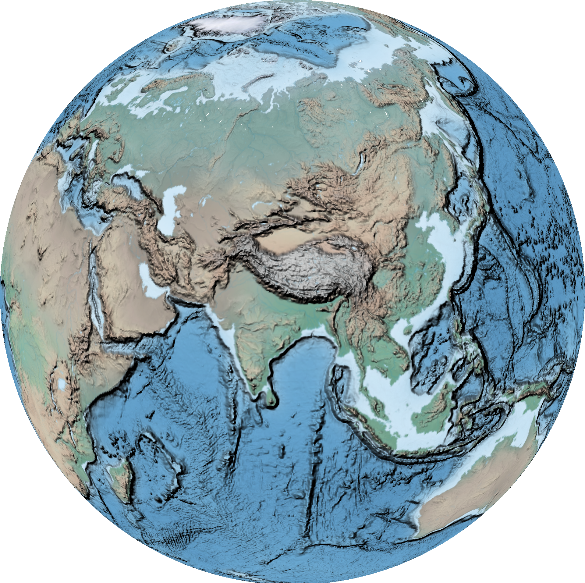
This is how I use a few open source Linux tools and a little BASH scripting to make my own Geographic Information Systems from the command line. I describe and illustrate how to accomplish the most common tasks in GIS and a lot of extras I came up with over the years.
-
GDAL
1.1 Resampling
1.2 Reprojecting
1.3 Geoprocessing
1.4 Converting -
OGR
2.1 Selecting
2.2 Reprojecting -
Weather to Video: scripts to download & animate weather data
GDAL (Geospatial Data Abstraction Library) is a computer software library for reading and writing raster and vector geospatial data formats.
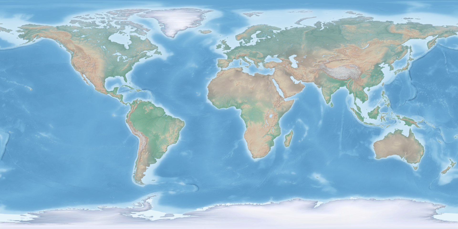
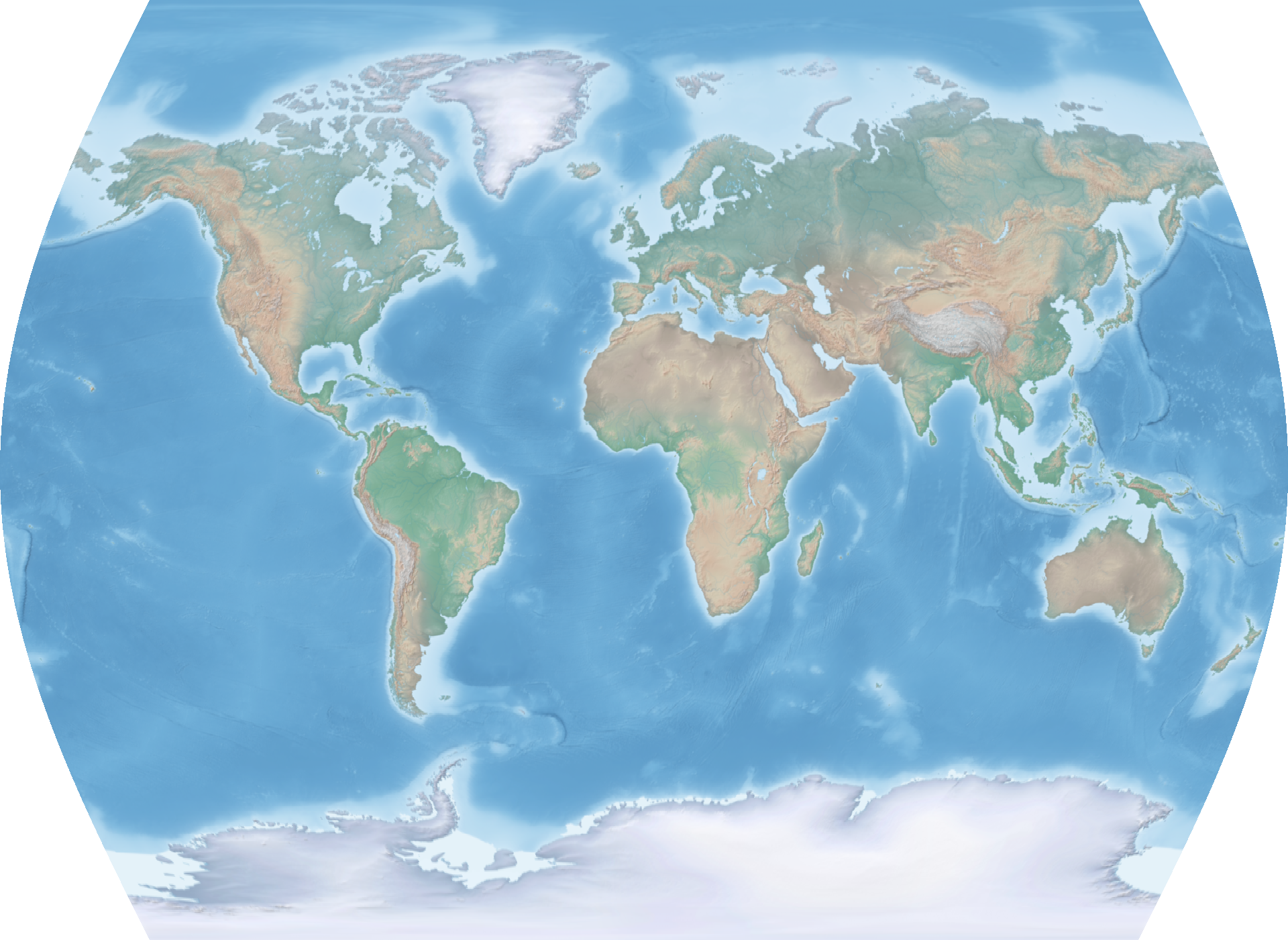
Resize the Natural Earth hypsometric raster to a web-safe width while keeping the aspect ratio. This will be our example raster.
file='HYP_HR_SR_OB_DR.tif'
width=1920
gdalwarp -overwrite -ts ${width} 0 -r cubicspline ${file} hyp.tif
Resize raster as a fraction of its original size using output from gdalinfo.
gdalwarp -overwrite -ts $(echo $(gdalinfo hyp.tif | grep "Size is" | sed 's/Size is //g' | sed 's/,.*$//g')/10 | bc) 0 -r cubicspline hyp.tif hyp_192.tif
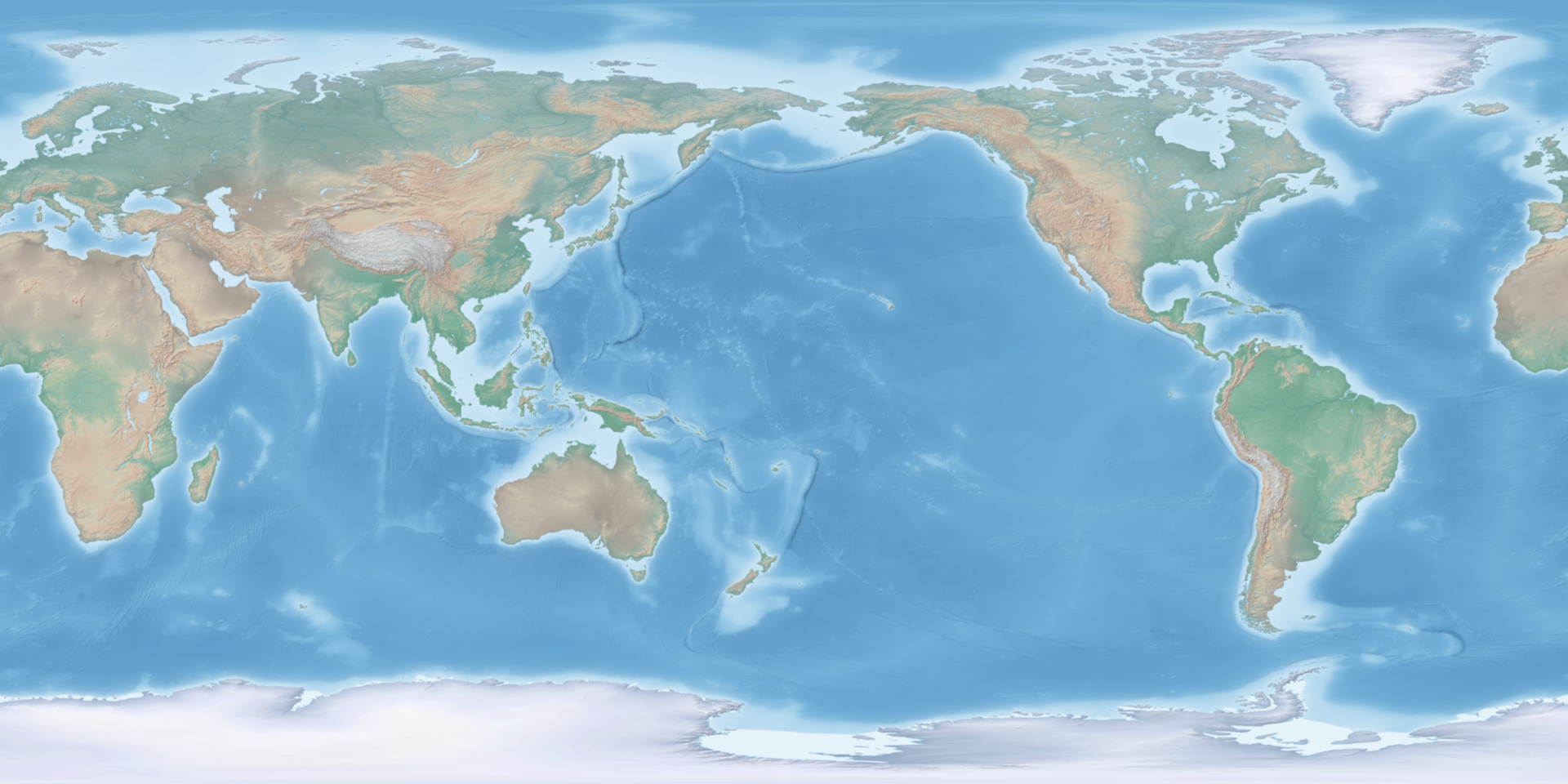
Set prime meridian on 0-360° raster.
gdalwarp -overwrite -ts 1920 0 -s_srs 'EPSG:4326' -t_srs "+proj=longlat +ellps=WGS84 +pm=-360 +datum=WGS84 +no_defs +lon_wrap=360 +over" hyp.tif hyp_180pm.tif
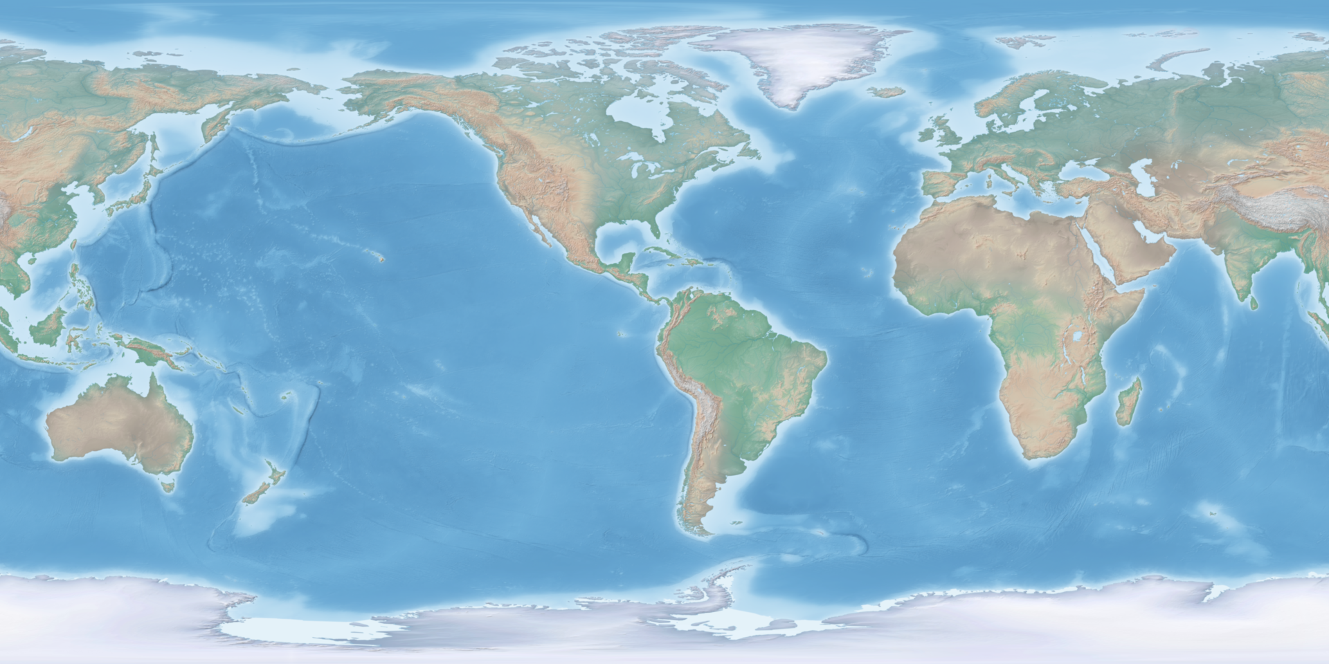
Set prime meridian on -180-180° raster by desired degree.
file='hyp.tif'
prime=180
gdalwarp -overwrite -ts 1920 0 -s_srs 'EPSG:4326' -t_srs "+proj=latlong +datum=WGS84 +pm=${prime}dE" ${file} ${file%.*}_180pm.tif
Set prime meridian by desired placename. Use ogrinfo to query the Natural Earth geopackage.
file='hyp.tif'
name='Toronto'
prime=$(ogrinfo /home/steve/maps/naturalearth/packages/natural_earth_vector.gpkg -sql "SELECT round(ST_X(ST_Shift_Longitude(geom))) FROM ne_10m_populated_places WHERE nameascii = '${name}'" | grep '=' | sed -e 's/^.*= //g')
gdalwarp -overwrite -ts 1920 0 -s_srs 'EPSG:4326' -t_srs "+proj=latlong +datum=WGS84 +pm=${prime}dE" ${file} ${file%.*}_${prime}pm.tif
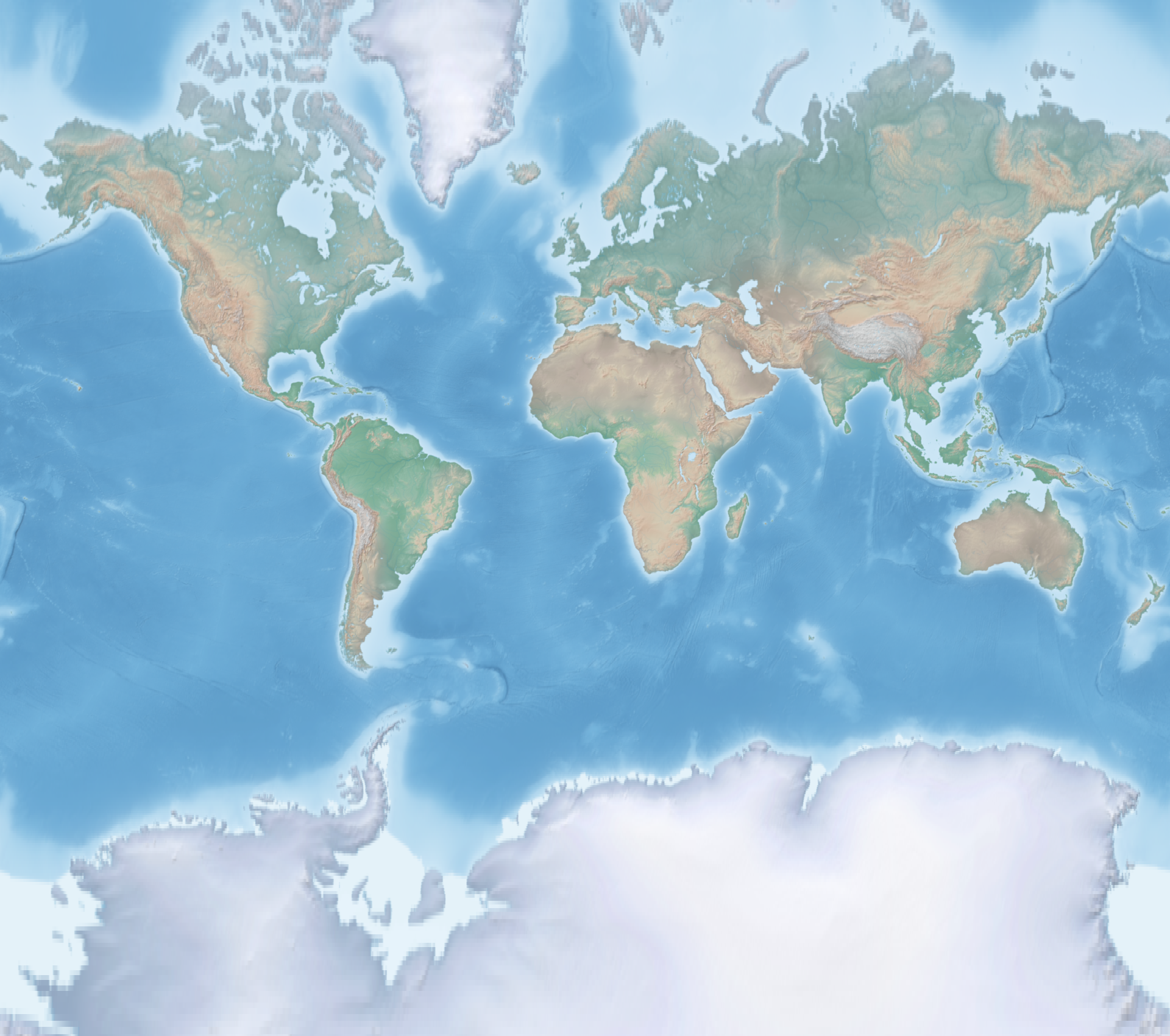
Transform from lat-long to the popular Web Mercator projection using EPSG code, setting extent between -85* and 80* latitude.
file='hyp.tif'
proj='epsg:3857'
gdalwarp -overwrite -dstalpha --config OGR_ENABLE_PARTIAL_REPROJECTION TRUE -ts 1920 0 -s_srs 'EPSG:4326' -t_srs ${proj} -te -180 -85 180 80 -te_srs EPSG:4326 ${file} ${file%.*}_"${proj//:/_}".tif
Transform from lat-long to the Times projection using PROJ definition.
file='hyp.tif'
proj='+proj=times'
gdalwarp -overwrite -dstalpha --config OGR_ENABLE_PARTIAL_REPROJECTION TRUE -ts 1920 0 -s_srs 'EPSG:4326' -t_srs "${proj}" ${file} ${file%.*}_"$(echo ${proj} | sed -e 's/+proj=//g' -e 's/ +.*$//g')".tif
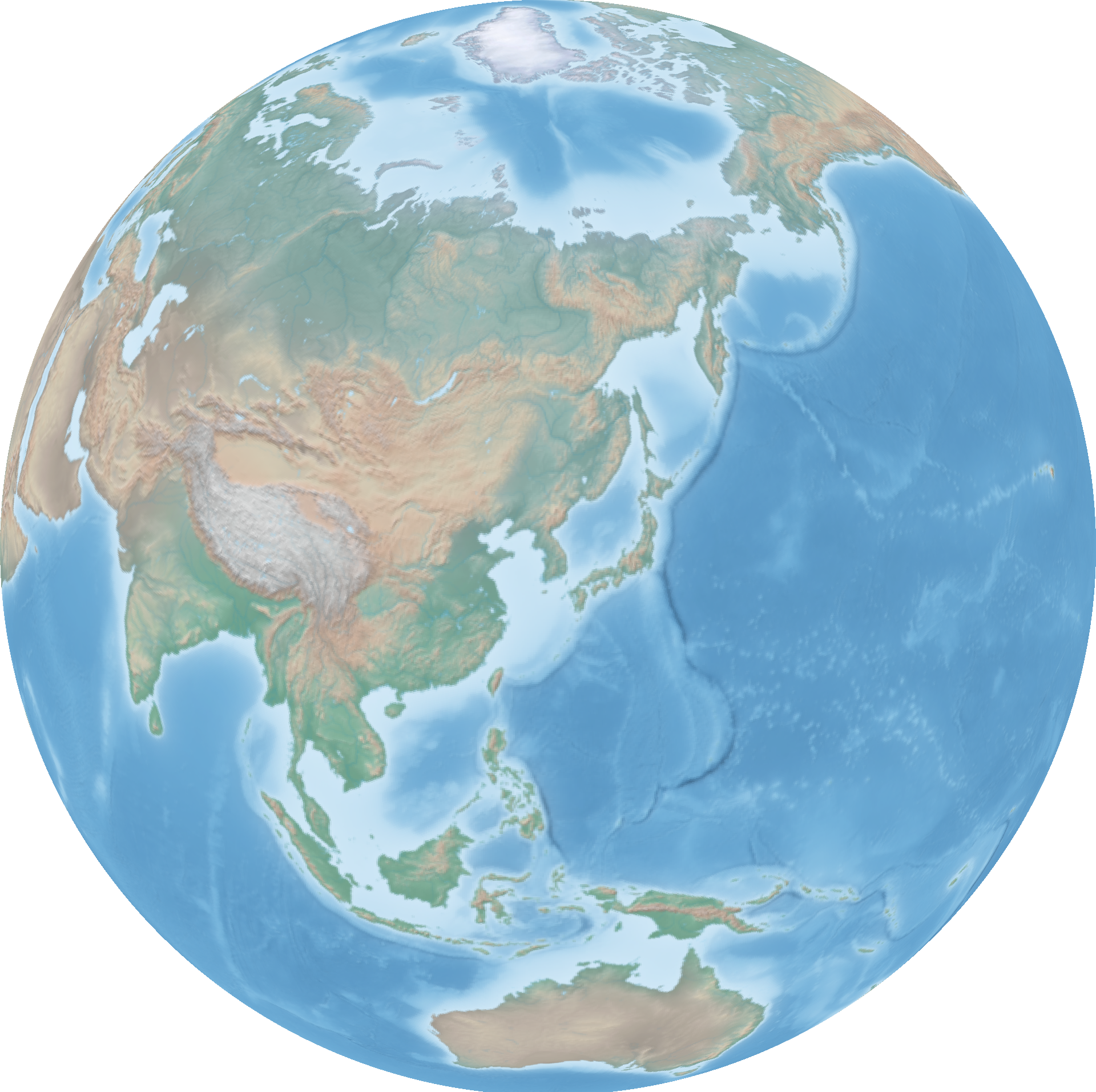
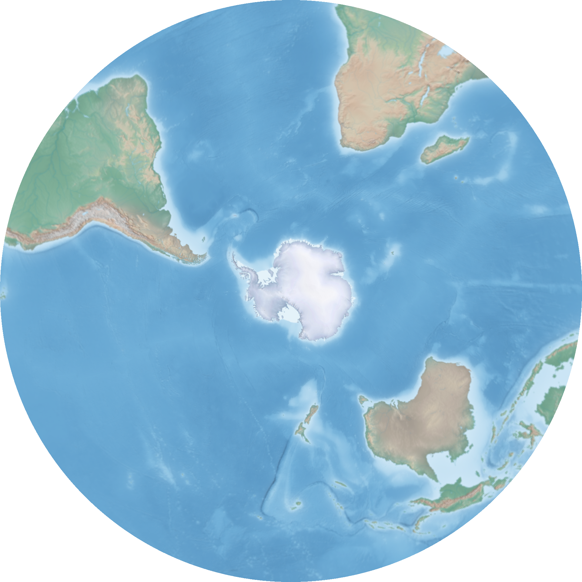
Transform from lat-long to an orthographic projection with a custom PROJ definition. Again use ogrinfo to query the Natural Earth geopackage.
file='hyp.tif'
name='Seoul'
xy=($(ogrinfo /home/steve/maps/naturalearth/packages/natural_earth_vector.gpkg -sql "SELECT round(ST_X(ST_Centroid(geom))), round(ST_Y(ST_Centroid(geom))) FROM ne_10m_populated_places WHERE nameascii = '${name}'" | grep '=' | sed -e 's/^.*= //g'))
gdalwarp -overwrite -dstalpha --config OGR_ENABLE_PARTIAL_REPROJECTION TRUE -ts 1920 0 -s_srs 'EPSG:4326' -t_srs '+proj=ortho +lat_0="'${xy[1]}'" +lon_0="'${xy[0]}'" +ellps='sphere'' ${file} ${file%.*}_ortho_"${xy[0]}"_"${xy[1]}".tif
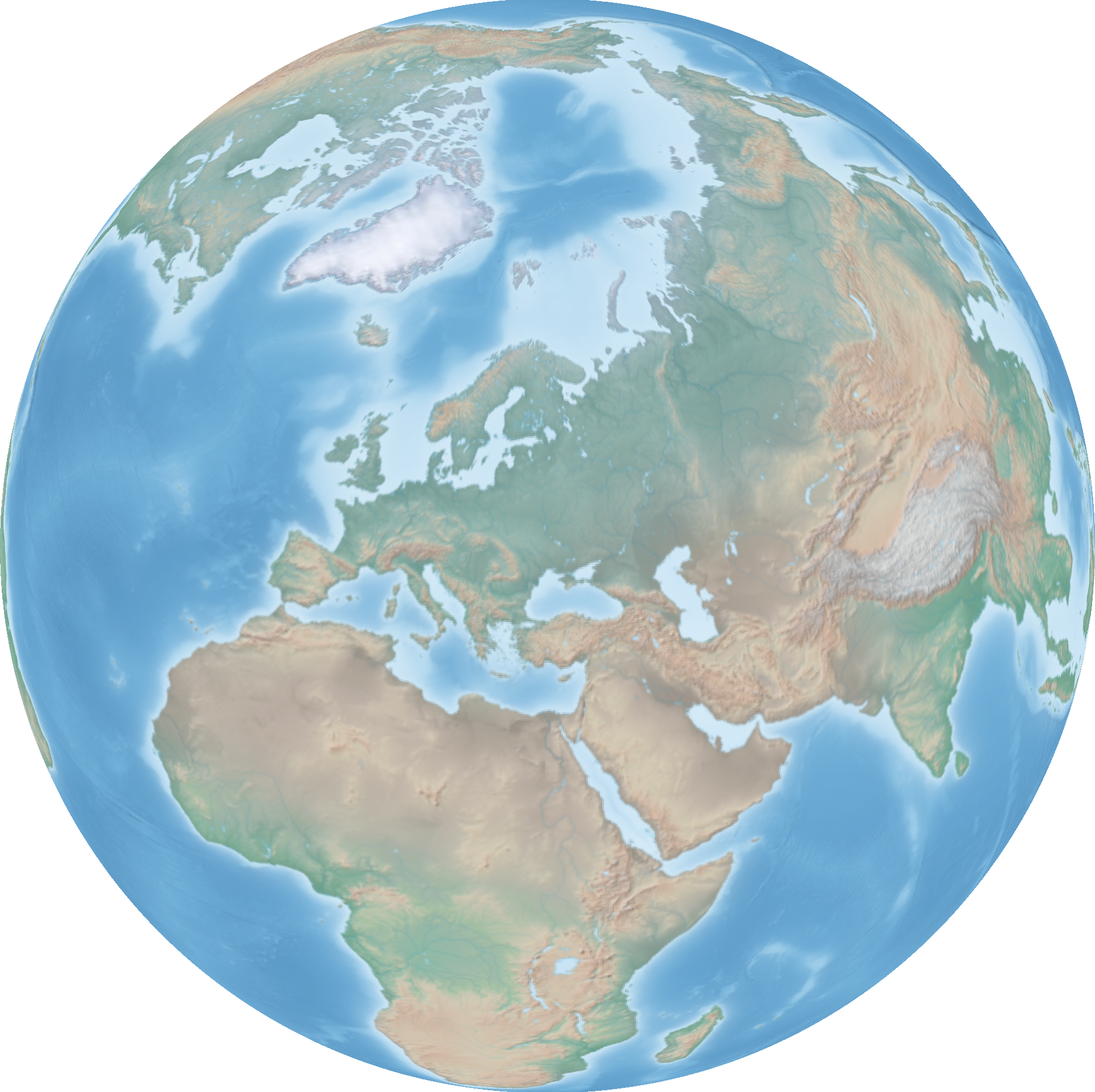
Center the orthographic projection on the centroid of a country using the same method.
file='hyp.tif'
name='Ukraine'
xy=($(ogrinfo /home/steve/maps/naturalearth/packages/natural_earth_vector.gpkg -sql "SELECT round(ST_X(ST_Centroid(geom))), round(ST_Y(ST_Centroid(geom))) FROM ne_110m_admin_0_countries WHERE name = '${name}'" | grep '=' | sed -e 's/^.*= //g'))
gdalwarp -overwrite -dstalpha --config OGR_ENABLE_PARTIAL_REPROJECTION TRUE -ts 1920 0 -s_srs 'EPSG:4326' -t_srs '+proj=ortho +lat_0="'${xy[1]}'" +lon_0="'${xy[0]}'" +ellps='sphere'' ${file} ${file%.*}_ortho_"${xy[0]}"_"${xy[1]}".tif
Some other popular map projections and their PROJ definitions.
| Name | PROJ |
|---|---|
| Azimuthal Equidistant | +proj=aeqd +lat_0=45 +lon_0=-80 +a=1000000 +b=1000000 +over |
| Lambert Azimuthal Equal Area | +proj=laea +lat_0=0 +lon_0=0 +x_0=0 +y_0=0 +datum=WGS84 +units=m |
| Lambert Conformal Conic | +proj=lcc +lon_0=-90 +lat_1=33 +lat_2=45 |
| Stereographic | +proj=stere +lon_0=-119 +lat_0=36 +lat_ts=36 |
| Van der Grinten | +proj=vandg +lon_0=0 +x_0=0 +y_0=0 +R_A +a=6371000 +b=6371000 +units=m |
Georeference by extent.
gdal_translate -a_ullr -180 90 180 -90 HYP_HR_SR_OB_DR_1024_512.png HYP_HR_SR_OB_DR_1024_512_georeferenced.tif
Georeference by ground control points.
gdal_translate -gcp 0 0 -180 -90 -gcp 1024 512 180 90 -gcp 0 512 -180 90 -gcp 1024 0 180 -90 HYP_HR_SR_OB_DR_1024_512.png HYP_HR_SR_OB_DR_1024_512_georeferenced.tif
Georeference and transform in one step.
gdal_translate -a_ullr -180 90 180 -90 HYP_HR_SR_OB_DR_1024_512.png /vsistdout/ | gdalwarp -overwrite -s_srs 'EPSG:4326' -t_srs 'EPSG:3857' /vsistdin/ HYP_HR_SR_OB_DR_1024_512_crs.tif
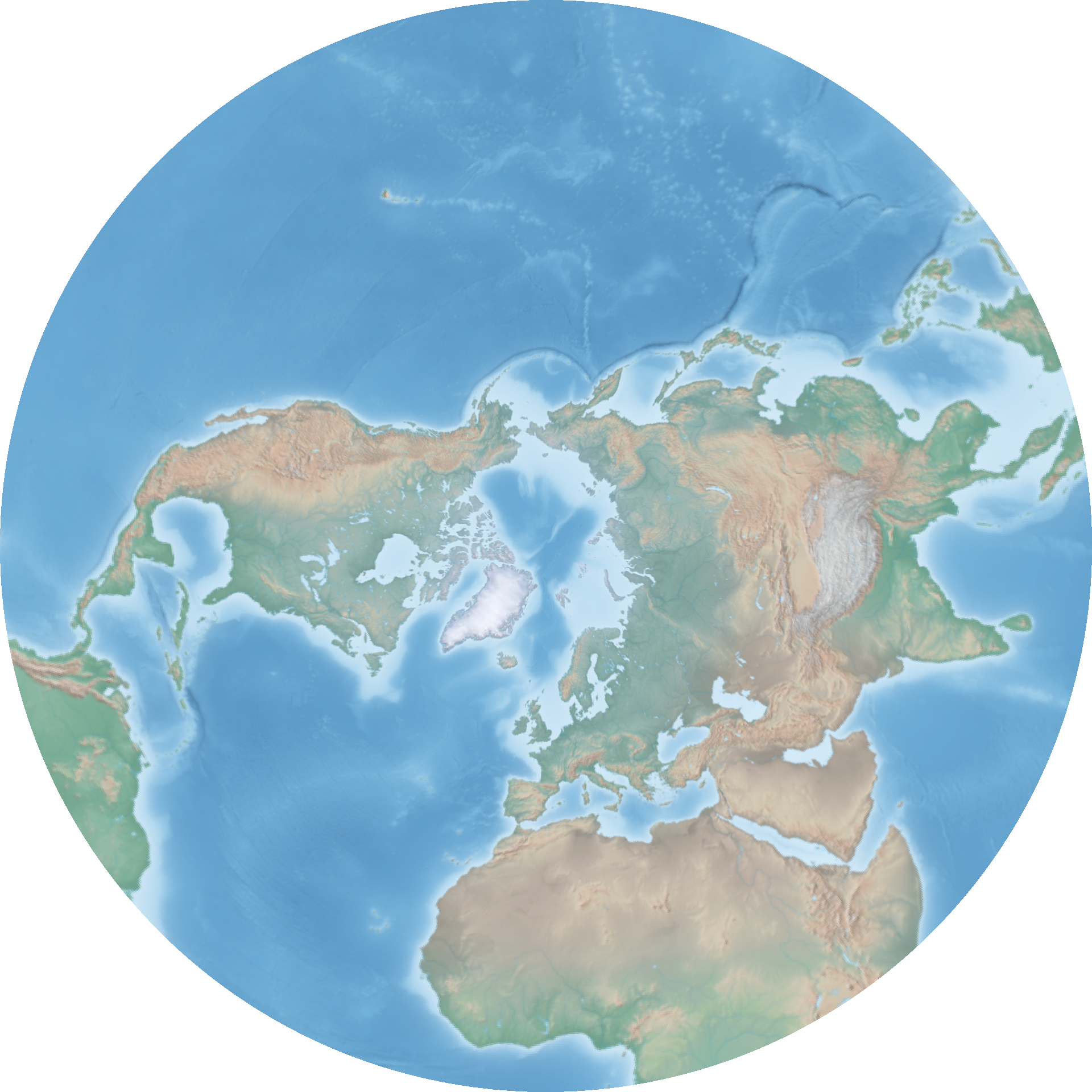
Clip raster to a bounding box using either gdal_translate or gdalwarp. Use the appropriate stereographic projection for each hemisphere.
gdal_translate -projwin -180 90 180 0 hyp.tif /vsistdout/ | gdalwarp -overwrite -dstalpha --config OGR_ENABLE_PARTIAL_REPROJECTION TRUE -ts 1920 0 -s_srs 'EPSG:4326' -t_srs '+proj=stere +lat_0=90 +lat_ts_0' /vsistdin/ hyp_north_stere.tif
gdalwarp -te -180 -90 180 0 hyp.tif /vsistdout/ | gdalwarp -overwrite -dstalpha --config OGR_ENABLE_PARTIAL_REPROJECTION TRUE -ts 1920 0 -s_srs 'EPSG:4326' -t_srs '+proj=stere +lat_0=-90 +lat_ts_0' /vsistdin/ hyp_south_stere.tif
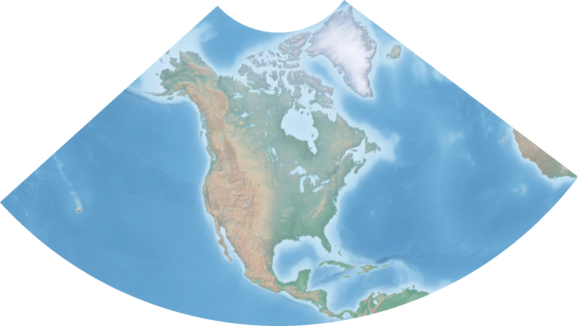
Clip raster to extent of vector geometries in the same way. Use North America Lambert Conformal Conic projection here.
file='hyp.tif'
continent='North America'
extent=($(ogrinfo /home/steve/maps/naturalearth/packages/natural_earth_vector.gpkg -sql "SELECT ROUND(ST_MinX(geom)), ROUND(ST_MinY(geom)), ROUND(ST_MaxX(geom)), ROUND(ST_MaxY(geom)) FROM (SELECT ST_Union(geom) geom FROM ne_110m_admin_0_countries WHERE CONTINENT = '${continent}')" | grep '=' | sed -e 's/^.*= //g'))
gdalwarp -te ${extent[*]} ${file} /vsistdout/ | gdalwarp -overwrite -dstalpha --config OGR_ENABLE_PARTIAL_REPROJECTION TRUE -ts 1920 0 -s_srs 'EPSG:4326' -t_srs 'ESRI:102010' /vsistdin/ ${file%.*}_extent_$(echo "${extent[@]}" | sed 's/ /_/g').tif
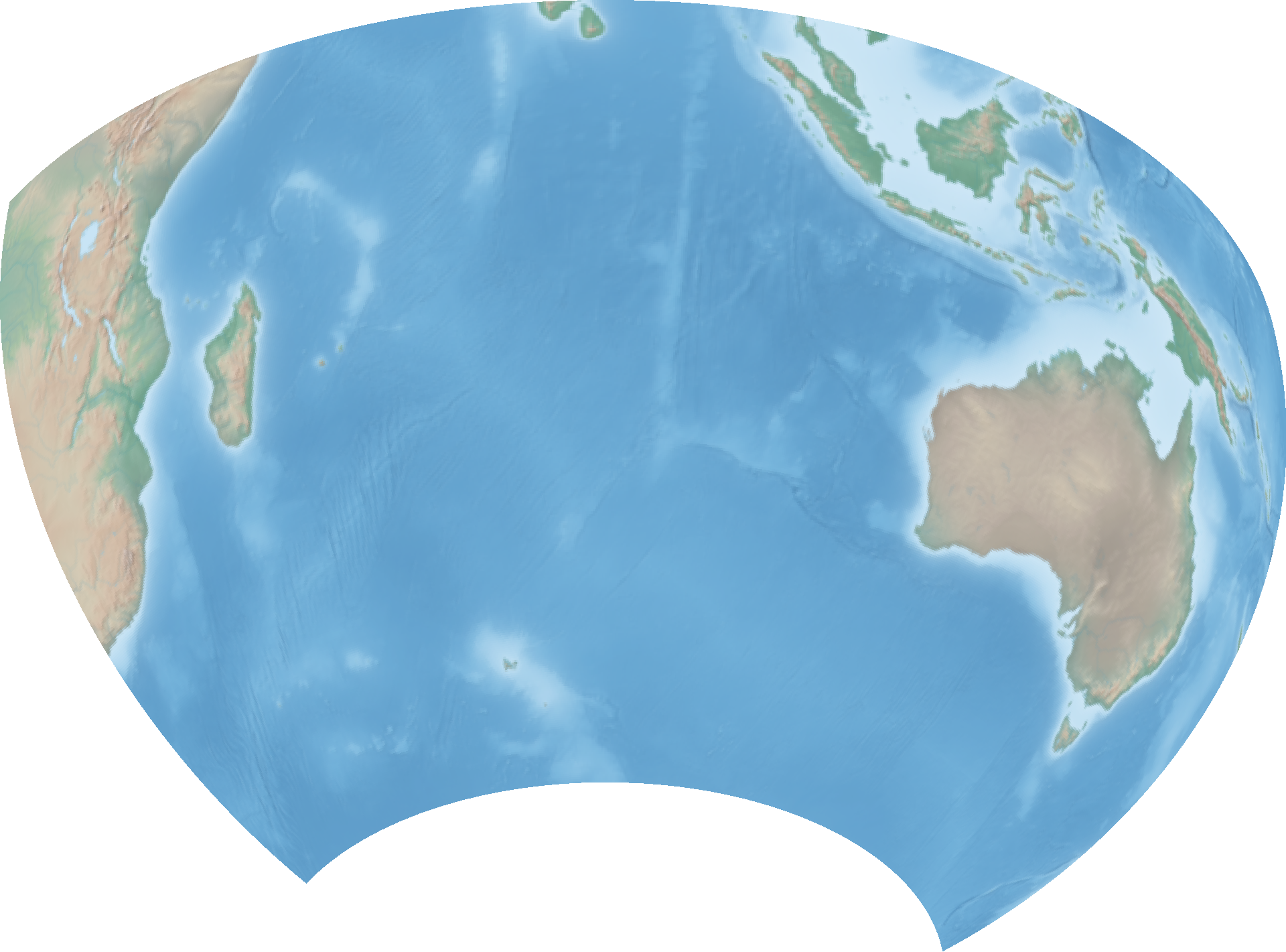
Clip to vector geometry with crop_to_cutline. The cutline is the extent of the Indian Ocean so we center the projection on its centroid here.
file='hyp.tif'
name='INDIAN OCEAN'
xy=($(ogrinfo /home/steve/maps/naturalearth/packages/natural_earth_vector.gpkg -sql "SELECT round(ST_X(ST_Centroid(geom))), round(ST_Y(ST_Centroid(geom))) FROM ne_110m_geography_marine_polys WHERE name = '${name}'" | grep '=' | sed -e 's/^.*= //g'))
gdalwarp -dstalpha -crop_to_cutline -cutline '/home/steve/maps/naturalearth/packages/natural_earth_vector.gpkg' -csql "SELECT Extent(geom) FROM ne_110m_geography_marine_polys WHERE name = '${name}'" ${file} /vsistdout/ | gdalwarp -overwrite -dstalpha --config OGR_ENABLE_PARTIAL_REPROJECTION TRUE -ts 1920 0 -s_srs 'EPSG:4326' -t_srs '+proj=ortho +lat_0="'${xy[1]}'" +lon_0="'${xy[0]}'" +ellps='sphere'' /vsistdin/ ${file%.*}_ortho_"${xy[0]}"_"${xy[1]}".tif
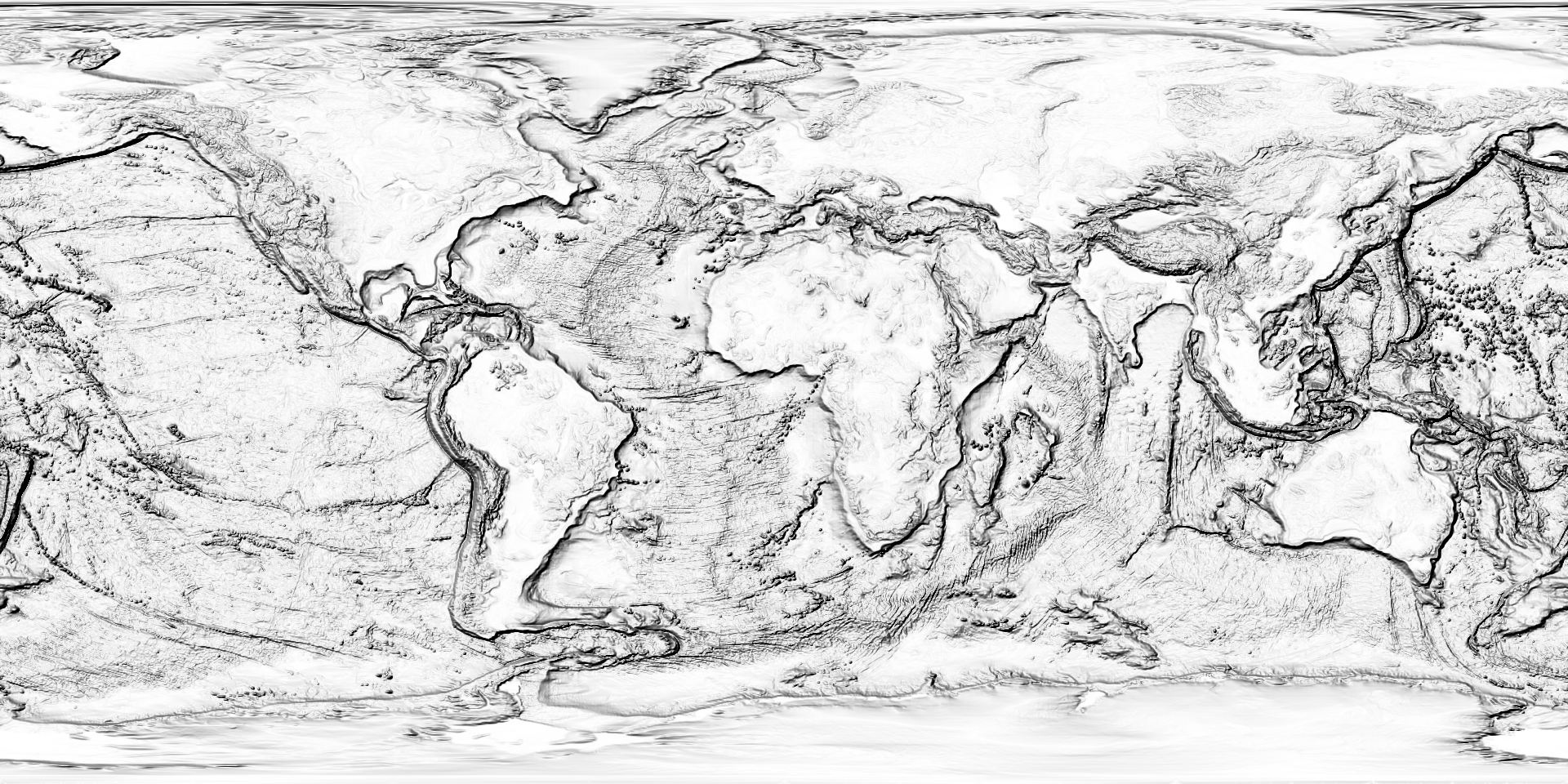
Make a shaded relief map from TOPO by setting zfactor, azimuth and altitude.
zfactor=100
azimuth=315
altitude=45
gdaldem hillshade -combined -z ${zfactor} -s 111120 -az ${azimuth} -alt ${altitude} -compute_edges topo.tif topo_hillshade.tif
Multiply Natural Earth and shaded relief rasters, then take a closer look at the Himalayas.
gdal_calc.py --overwrite -A topo_hillshade.tif -B hyp.tif --allBands B --outfile=hyp_hillshade.tif --calc="((A - numpy.min(A)) / (numpy.max(A) - numpy.min(A))) * B"

file='hyp_hillshade.tif'
name='HIMALAYAS'
xy=($(ogrinfo /home/steve/maps/naturalearth/packages/natural_earth_vector.gpkg -sql "SELECT round(ST_X(ST_Centroid(geom))), round(ST_Y(ST_Centroid(geom))) FROM ne_110m_geography_regions_polys WHERE name = '${name}'" | grep '=' | sed -e 's/^.*= //g'))
gdalwarp -overwrite -dstalpha --config OGR_ENABLE_PARTIAL_REPROJECTION TRUE -ts 1920 0 -s_srs 'EPSG:4326' -t_srs '+proj=ortho +lat_0="'${xy[1]}'" +lon_0="'${xy[0]}'" +ellps='sphere'' ${file} ${file%.*}_ortho_"${xy[0]}"_"${xy[1]}".tifUse gdalwarp to convert from GeoTIFF to regular TIFF (use with programs like imagemagick).
gdalwarp -overwrite -dstalpha --config GDAL_PAM_ENABLED NO -co PROFILE=BASELINE -ts 1920 0 -f 'GTiff' -of 'GTiff' hyp.tif hyp_nogeo.tif
Use gdal_translate to convert from GeoTIFF to JPEG, PNG and other image formats. Use outsize to set width and maintain aspect ratio of output image.
gdal_translate -outsize 1920 0 -if 'GTiff' -of 'JPEG' hyp.tif hyp.png
gdal_translate -outsize 1920 0 -if 'GTiff' -of 'PNG' hyp.tif hyp.png
Resize and convert all geotiffs in the folder to png. This is how to make the example thumbnails.
ls *.tif | while read file; do
  gdal_translate -of 'PNG' -outsize 1920 0 ${file} ${file%.*}.png
doneSelect vector layers processed from the Natural Earth geopackage. These will be our example layers.
ogr2ogr -overwrite -f 'GPKG' -s_srs 'EPSG:4326' -t_srs 'EPSG:4326' countries.gpkg /home/steve/maps/naturalearth/packages/ne_110m_admin_0_boundary_lines_land_coastline_split1.gpkg countries
Transform from lat-long to an orthographic projection, this time using ogr2ogr for vectors.
file='countries.gpkg'
layer='countries'
name='Cairo'
xy=($(ogrinfo /home/steve/maps/naturalearth/packages/natural_earth_vector.gpkg -sql "SELECT round(ST_X(ST_Centroid(geom))), round(ST_Y(ST_Centroid(geom))) FROM ne_10m_populated_places WHERE nameascii = '${name}'" | grep '=' | sed -e 's/^.*= //g'))
ogr2ogr -overwrite -skipfailures --config OGR_ENABLE_PARTIAL_REPROJECTION TRUE -s_srs 'EPSG:4326' -t_srs '+proj=ortho +lat_0="'${xy[1]}'" +lon_0="'${xy[0]}'" +ellps='sphere'' ${layer}_ortho_"${xy[0]}"_"${xy[1]}".gpkg ${file} ${layer}
Center the orthographic projection on the centroid of a country.
file='countries.gpkg'
layer='countries'
name='Brazil'
xy=($(ogrinfo /home/steve/maps/naturalearth/packages/natural_earth_vector.gpkg -sql "SELECT round(ST_X(ST_Centroid(geom))), round(ST_Y(ST_Centroid(geom))) FROM ne_110m_admin_0_countries WHERE name = '${name}'" | grep '=' | sed -e 's/^.*= //g'))
ogr2ogr -overwrite -skipfailures --config OGR_ENABLE_PARTIAL_REPROJECTION TRUE -s_srs 'EPSG:4326' -t_srs '+proj=ortho +lat_0="'${xy[1]}'" +lon_0="'${xy[0]}'" +ellps='sphere'' ${layer}_ortho_"${xy[0]}"_"${xy[1]}".gpkg ${file} ${layer}Clip and reproject vector and raster data to the same extent.
# make extent
name='North America'
extent=($(ogrinfo /home/steve/maps/naturalearth/packages/natural_earth_vector.gpkg -sql "SELECT ROUND(ST_MinX(geom)), ROUND(ST_MinY(geom)), ROUND(ST_MaxX(geom)), ROUND(ST_MaxY(geom)), round(ST_X(ST_Centroid(geom))), round(ST_Y(ST_Centroid(geom))) FROM (SELECT ST_Union(geom) geom FROM ne_110m_admin_0_countries WHERE CONTINENT = '${name}')" | grep '=' | sed -e 's/^.*= //g'))
# clip hyp
gdalwarp -te_srs 'EPSG:4326' -te ${extent[0]} ${extent[1]} ${extent[2]} ${extent[3]} /home/steve/maps/naturalearth/raster/HYP_HR_SR_OB_DR_5400_2700.tif /vsistdout/ | gdalwarp -overwrite -dstalpha -s_srs 'EPSG:4326' -t_srs '+proj=ortho +lat_0="'${extent[5]}'" +lon_0="'${extent[4]}'" +ellps='sphere'' /vsistdin/ hyp_${extent[0]}_${extent[1]}_${extent[2]}_${extent[3]}.tif
# clip topo
gdalwarp -te_srs 'EPSG:4326' -te ${extent[0]} ${extent[1]} ${extent[2]} ${extent[3]} /home/steve/maps/srtm/topo15_4000.tif /vsistdout/ | gdalwarp -overwrite -dstalpha -s_srs 'EPSG:4326' -t_srs '+proj=ortho +lat_0="'${extent[5]}'" +lon_0="'${extent[4]}'" +ellps='sphere'' /vsistdin/ topo_${extent[0]}_${extent[1]}_${extent[2]}_${extent[3]}.tif
# clip vectors
ogr2ogr -overwrite -skipfailures --config OGR_ENABLE_PARTIAL_REPROJECTION TRUE -clipsrc ${extent[0]} ${extent[1]} ${extent[2]} ${extent[3]} -a_srs 'EPSG:4326' -t_srs '+proj=ortho +lat_0="'${extent[5]}'" +lon_0="'${extent[4]}'" +ellps='sphere'' subunits_${extent[0]}_${extent[1]}_${extent[2]}_${extent[3]}.gpkg /home/steve/maps/naturalearth/packages/natural_earth_vector.gpkg ne_10m_admin_0_map_subunitsConvert vector layer to svg file using ogrinfo to get data and fill in svg according to data type. These are the vector examples shown here.
file='subunits_laea.gpkg'
layer='subunits'
width=1920
height=960
ogrinfo -dialect sqlite -sql "SELECT ST_MinX(extent(geom)) || CAST(X'09' AS TEXT) || (-1 * ST_MaxY(extent(geom))) || CAST(X'09' AS TEXT) || (ST_MaxX(extent(geom)) - ST_MinX(extent(geom))) || CAST(X'09' AS TEXT) || (ST_MaxY(extent(geom)) - ST_MinY(extent(geom))) FROM ${layer}" ${file} | grep -e '=' | sed -e 's/^.*://g' -e 's/^.* = //g' | while IFS=$'\t' read -a array; do
echo '<svg xmlns="http://www.w3.org/2000/svg" xmlns:xlink="http://www.w3.org/1999/xlink" height="'${height}'" width="'${width}'" viewBox="'${array[0]}' '${array[1]}' '${array[2]}' '${array[3]}'">' > ${file%.*}.svg
done
ogrinfo -dialect sqlite -sql "SELECT fid || CAST(X'09' AS TEXT) || ST_X(ST_Centroid(geom)) || CAST(X'09' AS TEXT) || (-1 * ST_Y(ST_Centroid(geom))) || CAST(X'09' AS TEXT) || AsSVG(geom, 1) || CAST(X'09' AS TEXT) || GeometryType(geom) FROM ${layer} WHERE geom NOT LIKE '%null%'" ${file} | grep -e '=' | sed -e 's/^.*://g' -e 's/^.* = //g' | while IFS=$'\t' read -a array; do
  case ${array[4]} in
    POINT|MULTIPOINT)
      echo '<circle id="'${array[0]}'" cx="'${array[1]}'" cy="'${array[2]}'" r="1em" vector-effect="non-scaling-stroke" fill="#FFF" fill-opacity="1" stroke="#000" stroke-width="0.6px" stroke-linejoin="round" stroke-linecap="round"/>' >> ${file%.*}.svg
      ;;
    LINESTRING|MULTILINESTRING)
      echo '<path id="'${array[0]}'" d="'${array[3]}'" vector-effect="non-scaling-stroke" stroke="#000" stroke-width="0.6px" stroke-linejoin="round" stroke-linecap="round"/>' >> ${file%.*}.svg
      ;;
    POLYGON|MULTIPOLYGON)
      echo '<path id="'${array[0]}'" d="'${array[3]}'" vector-effect="non-scaling-stroke" fill="#000" fill-opacity="1" stroke="#FFF" stroke-width="0.6px" stroke-linejoin="round" stroke-linecap="round"/>' >> ${file%.*}.svg
      ;;
  esac
done
echo '</svg>' >> ${file%.*}.svgMisc
saga_cmd --cores 1
Classify
saga_cmd imagery_classification 1 -NCLUSTER 20 -MAXITER 0 -METHOD 1 -GRIDS N43W080_wgs84_500_5000.tif -CLUSTER N43W080_wgs84_500_5000_cluster.tif
Watershed
saga_cmd imagery_segmentation 0 -OUTPUT 0 -DOWN 1 -JOIN 0 -THRESHOLD 0 -EDGE 1 -BBORDERS 0 -GRID N43W080_wgs84_500.tif -SEGMENTS N43W080_wgs84_500_segments.tif
saga_cmd ta_channels 5 -THRESHOLD 1 -DEM N43W080_wgs84_500.tif -SEGMENTS N43W080_wgs84_500_segments.shp -BASINS N43W080_wgs84_500_basins.shp
Raster to polygons
saga_cmd shapes_grid 6 -GRID N43W080_wgs84.tif -POLYGONS N43W080_wgs84.shp
Raster values to vector
saga_cmd shapes_grid 0
saga_cmd shapes_grid 1
Arrows
saga_cmd shapes_grid 15 -SURFACE N43W080_wgs84_500.tif -VECTORS N43W080_wgs84_500_gradient.shp
Vector processing
saga_cmd shapes_lines
saga_cmd shapes_points
saga_cmd shapes_polygons
Smoothing
saga_cmd shapes_lines 7 -SENSITIVITY 3 -ITERATIONS 10 -PRESERVATION 10 -SIGMA 2 -LINES_IN N43W080_wgs84_500_segments.shp -LINES_OUT N43W080_wgs84_500_segments_smooth.shp
Landcsape
saga_cmd ta_compound 0 -THRESHOLD 1 -ELEVATION N43W080_wgs84_500.tif -SHADE N43W080_wgs84_500_shade.tif -CHANNELS N43W080_wgs84_500_channels.shp -BASINS N43W080_wgs84_500_basins.shp
Terrain
saga_cmd ta_morphometry 16 -DEM N43W080_wgs84_500.tif -TRI N43W080_wgs84_500_tri.shp
saga_cmd ta_morphometry 17 -DEM N43W080_wgs84_500.tif -VRM N43W080_wgs84_500_vrm.tif
saga_cmd ta_morphometry 18 -DEM N43W080_wgs84_500.tif -TPI N43W080_wgs84_500_tpi.tif
TIN
saga_cmd tin_tools 0 -GRID N48W092_N47W092_N48W091_N47W091_smooth.tif -TIN N48W092_N47W092_N48W091_N47W091_tin.shp
saga_cmd tin_tools 3 -TIN N48W092_N47W092_N48W091_N47W091_tin.shp -POLYGONS N48W092_N47W092_N48W091_N47W091_poly.shp

