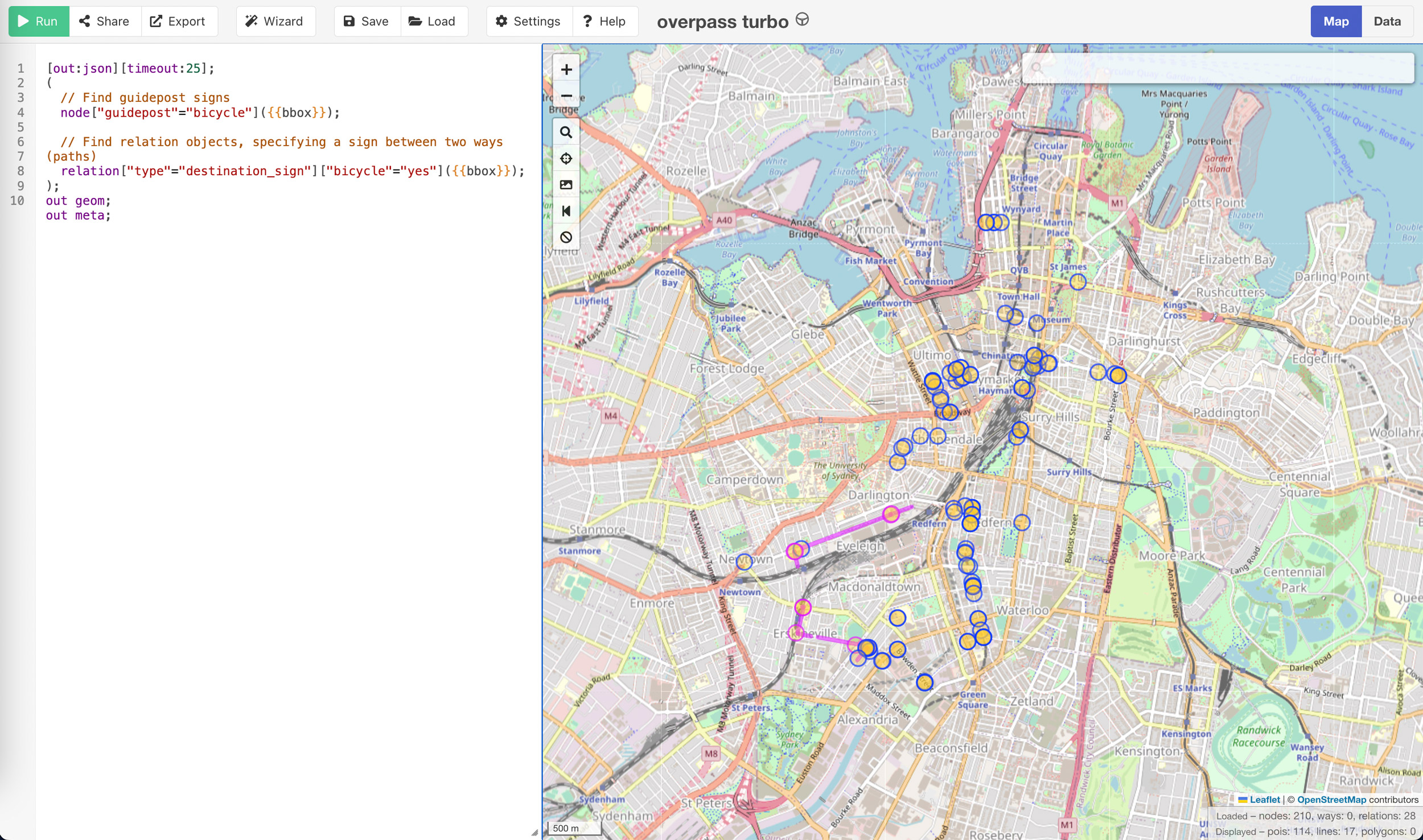
Map link: https://overpass-turbo.eu/s/1CpV
- This page is a work in progress
- There currently isn't any public datasets on bicycle wayfinding infrastructure in Sydney
- OpenStreetMap provides an easy method of crowdsourcing a high quality dataset and allows for public analysis
- I've started surveying wayfinding signage in the City of Sydney
- It's incomplete, but I hope this resource helps others with the correct tagging
[out:json][timeout:25];
(
  // Find guidepost signs
  node["guidepost"="bicycle"]({{bbox}});

  // Find relation objects, specifying a sign between two ways (paths)
  relation["type"="destination_sign"]["bicycle"="yes"]({{bbox}});
);
out geom;
out meta;
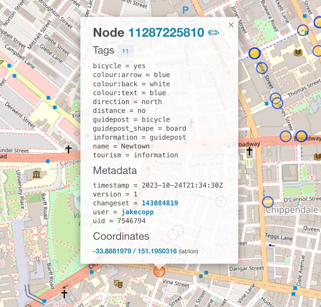
For individual signs, use information=guidepost with the below tags.
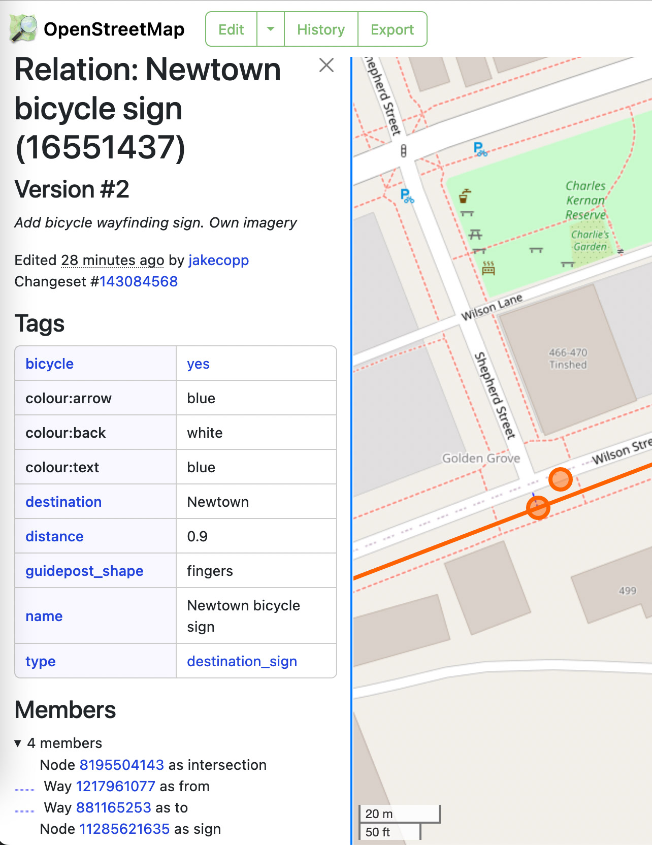
For multiple signs on the same pole, use the destination_sign relation.
See https://en.wikipedia.org/wiki/Destination_sign for further syntax.
There is also further discussion at
https://wiki.openstreetmap.org/wiki/Talk:Key:guidepost_shape.
bicycle=yes
colour:arrow=blue
colour:back=white
colour:text=blue
direction=north
distance=no
guidepost=bicycle
guidepost_shape=board
information=guidepost
name=Newtown
tourism=information
bicycle=yes
colour:arrow=blue
colour:back=white
colour:text=blue
direction=north
distance=no
guidepost=bicycle
guidepost_shape=fingers
information=guidepost
name=Newtown
tourism=information
bicycle=yes
colour:arrow=blue
colour:back=white
colour:text=blue
destination=Green Square;Randwick / UNSW
distance=no
guidepost_shape=fingers
name=Green Square;Randwick / UNSW
type=destination_sign
destination:symbol=bicycle


