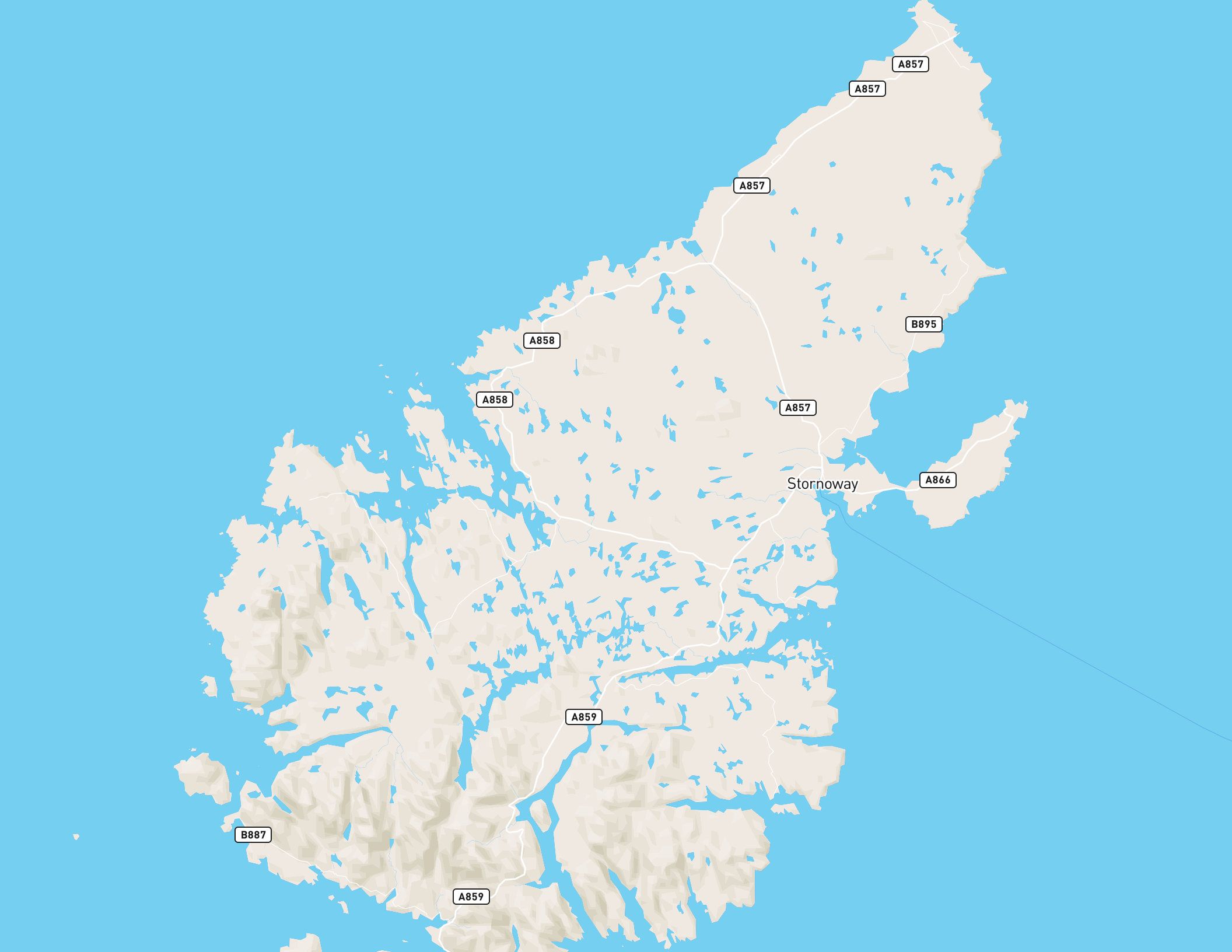
A command-line tool to export a Mapbox vector map, such as one created with Mapbox Studio, to a high-resolution image for printing etc.
Mapbox has a Maps static API for exporting images, but it is limited to 1280px, and exports as jpeg, with visible compression artifacts. mapbox-map-image-export renders the map in a headless browser and exports by default to uncompressed png. You can adjust the dpi setting for high-quality printing. 192dpi (the default) is good enough for most print applications, but if you want better quality try 288dpi. Icons will be 192dpi (retina) due to the way sprites are handled by mapbox-gl-js.
The Mapbox wmts service is another option for creating maps for printing in QGIS or ArcMap, but it does not currently support retina maps, so is limited to printing at around 72dpi, and is also only jpeg right now.
export MAPBOX_TOKEN=YOUR_MAPBOX_API_PUBLIC_TOKEN

export-map mapbox://styles/mapbox/streets-v9 -w=11in -h=8.5in \
-b=-7.1354,57.9095,-6.1357,58.516 -t=$MAPBOX_TOKEN -o=lewis.pngIf you use this tool to export images from maps which include data from Mapbox, then you must follow the Mapbox terms of service:
- Exported images must only be used for non-commercial, non-profit or educational use.
- You must add attribution and the Mapbox logo to the printed map according to the Mapbox attribution guidelines for static print.
- To secure permission to print images of a Mapbox style for a commercial project, please contact Mapbox.
This tool uses Electron to render the map using mapbox-gl-js, so it is fairly heavy (~100mb). Install with latest npm.
npm install mapbox-map-image-export -gUsage:
export-map mapboxStyleUrl
Options:
--bounds, -b comma-separated bounding box [required] 'minLon,minLat maxLon,maxLat' eg. '-7.1354,57.9095,-6.1357,58.516'
--token, -t Mapbox API token [required]:
https://www.mapbox.com/studio/account/tokens/
--output, -o image output path, optional, defaults to std.out
--dpi, -d dpi of output image, default 192dpi (equivalent to how the map renders on a retina screen)
--format, -f output format, "jpg", "webp" or "png" (default)
--quality, -q encoding quality for jpg and webp, default 0.9
--width, -w output width for printing e.g. 11in or 297mm
--height, -h output height for printing
--help show this help
--version, -v show version
--debug renders bounding box and (print) tile boundaries and opens the developer tools consoleExports a map for a given mapbox style url for the specified bounding box.
If no --output is given, the PNG is written to stdout.
Mapbox Studio and Mapbox GL maps are designed for the screen, as such 'dpi' (dots per inch), a print term, does not have any real meaning. However, the standard screen resolution is equivalent to between 72 and 96dpi (e.g. 96 screen pixels will measure approximately 1 inch on a standard screen). Mapbox GL maps are designed by zoom level, and this tool assumes you want maps to look on paper roughly the same as they look on screen at the same size. mapbox-map-image-export assumes a standard resolution mapbox map is 96dpi, and a retina (@2x) map is 192dpi. You can set 288dpi if you like, and this will render as if to an ultra-retina screen with a devicePixelRatio=3. Keep dpi to a multiple of 96 if you want icons to look good.
This is inspired by extract-streetview by mattdesl. It uses Electron to render the map in a headless version of Chrome.
MIT
