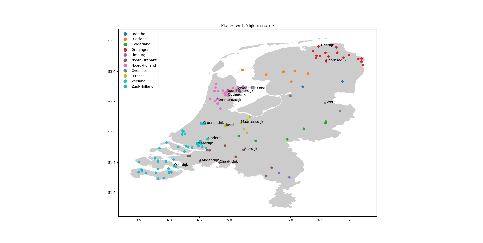
This code extracts data about Dutch settlements from Wikidata, then uses geopandas to map them on a geographical map of the Netherlands. The user can filter the settlements by a substring of their name, and only the settlements that contain this substrig are displayed. E.g SUBSTRING = 'dijk' it will plot only settlements with 'dijk' in there name
Before running the code, you need to install some dependencies. You can do this by running the following command in your terminal:
pip install -r requirements.txt
You also need to set some parameters in the parameters.py file. You should set the SUBSTRING parameter to the substring you want to filter the settlements on, and the PATH_TO_GEODATA parameter to the path of the geojson that you want to use for plotting. As default this repo uses the geojson of the Netherlands
You can run the code by running the main.py script in your terminal:
python main.py
This will run the entire pipeline, from extracting the data from Wikidata to plotting it on a map. The resulting plot will be displayed in your console.
The code is divided into several modules, each of which performs a specific task:
extraction.py: Contains the WikiDataQueryResults class, which allows you to extract data from Wikidata using SPARQL queries.queries.py: Contains the SPARQL queries that are used to extract data from Wikidata.transform.py: Contains the get_latitude_and_longitude and get_geodataframe functions, which transform the extracted data into a format that can be plotted on a map.visualize.py: Contains the plot_on_map function, which plots the data on a map.parameters.py: Contains the parameters that are used in the code.- The main script,
main.py, imports these modules and runs the entire pipeline.
