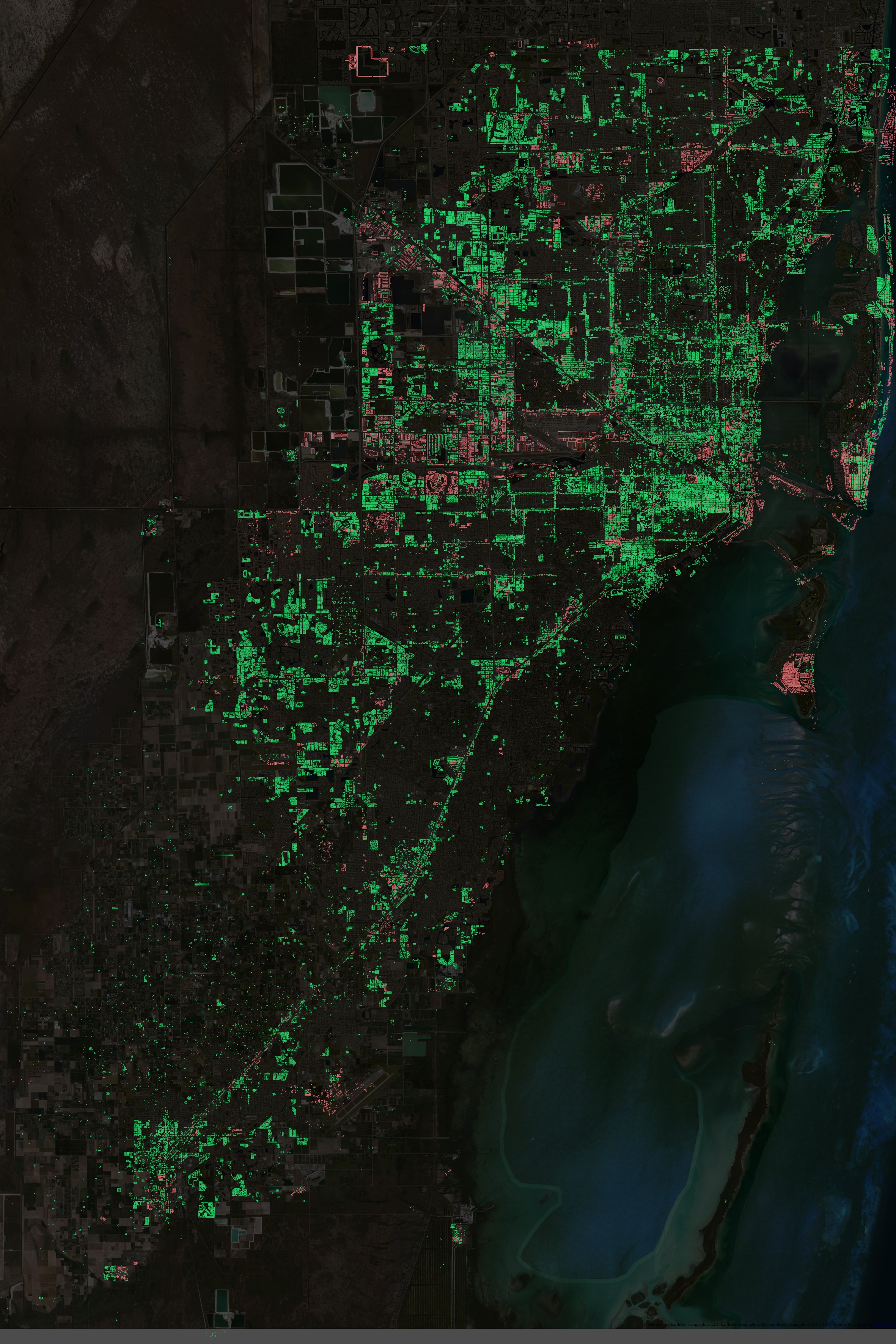
Software tools and technical description of the Miami-Dade County Large Building Import process.
More info on the Wiki.
If you'd like to contribute, check out the Import Tutorial and start mapping. All steps required for manually editing buildings are described there. Happy mapping!
Python 2.7.
Install PostgreSQL with PostGIS on your system. You can find some help here.
You will also need the psycopg2 and requests python packages.
Install osmosis with apt-get install osmosis on Ubuntu/Debian (other platforms see http://wiki.openstreetmap.org/wiki/Osmosis/Installation).
Install GDAL/OGR for your system. Used for importing shapefiles to Postgres with ogr2ogr.
PLUS osmconvert, ogr2osm, ...
Download the data files from here:
Large Buildings - http://gis.mdc.opendata.arcgis.com/datasets/1e87b925717747c7b59979caa7779039_1
Address - http://gis.mdc.opendata.arcgis.com/datasets/128dcc2c4cac403dbd1d7440e10fa583_0
- Create a PostgreSQL database called osmbuildings_miami (make sure user 'postgres' with the password 'postgres' has access to it). I might make this more flexible later because right now this is kind of hardcoded into the source
- Set up the DB (extensions, tables)
python data_prep/main.py --setup
- Import shapefiles to db. (I store the shapefiles in the data folder. pass it as the first argument)
./data_prep/import_shapefiles.sh data
- Grab buildings from OverpassAPI (store them in osm_buildings table)
python data_prep/main.py --buildings_download
- Grab Addresses from OverpassAPI (osm_addresses table)
python data_prep/main.py --address_download
- Grab highways/railways from OverpassAPI (osm_highway_railway)
python data_prep/main.py --roads_download
- Add indexes:
python data_prep/main.py --index_data
- Update db statistics:
python data_prep/main.py --vacuum
- Spatial intersection between Large Buildings and osm_buildings. Will result in 2 tables - buildings_no_overlap (for the bulk process) and buildings_overlap (for manually merging them with OSM)
python data_prep/main.py --intersect
- Delete buildings with logical errors (small area, misplaced "whole")
python data_prep/main.py --delete_err
- Assign address to 'buildings_no_overlap' where there's 1-1 building-address relation
python data_prep/main.py --assign_address
- Move self intersecting buidlings to manual bucket.
python data_prep/main.py --move_self_intersect
- Move buildings with shared borders to manual bucket.
python data_prep/main.py --move_intersect
- Check if buildings are near existing OSM addresses. Move those that are closer than 30m to manual bucket.
python data_prep/main.py --check_address
- Check if buildings overlap with OSM roads/rail tracks. Move overlapping ones to manual bucket.
python data_prep/main.py --check_road_rail
- Check numbers
python data_prep/main.py --report
You should have 2 tables: buildings_no_overlap for the bulk process (i.e. buildings not interfering with existing OSM data) and buildings_overlap for the manual process (i.e. buildings that need manual inspection).
- Clone
ogr2osmin parent directory
cd ..
sudo apt-get install -y python-gdal python-lxml
git clone --recursive https://github.com/pnorman/ogr2osm
- Navigate back to
MiamiOSM-buildingsand convertbuildings_no_overlapt an *.osm file (manual bucket)
cd MiamiOSM-buildings
./data_conversion/generate_osm_files.sh bulk
- Generate supplementary files with overlapping buildings and addresses for each block group
./data_conversion/generate_osm_files.sh review
