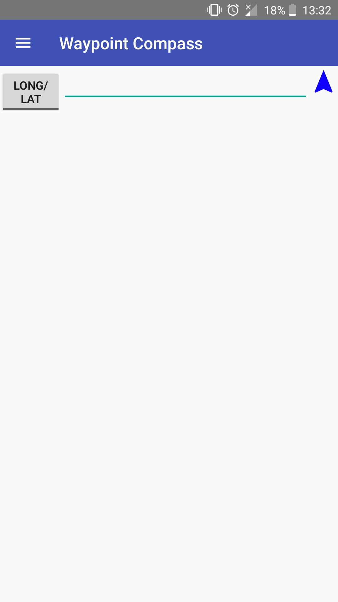
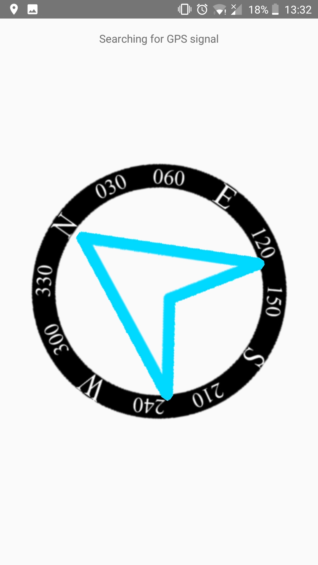
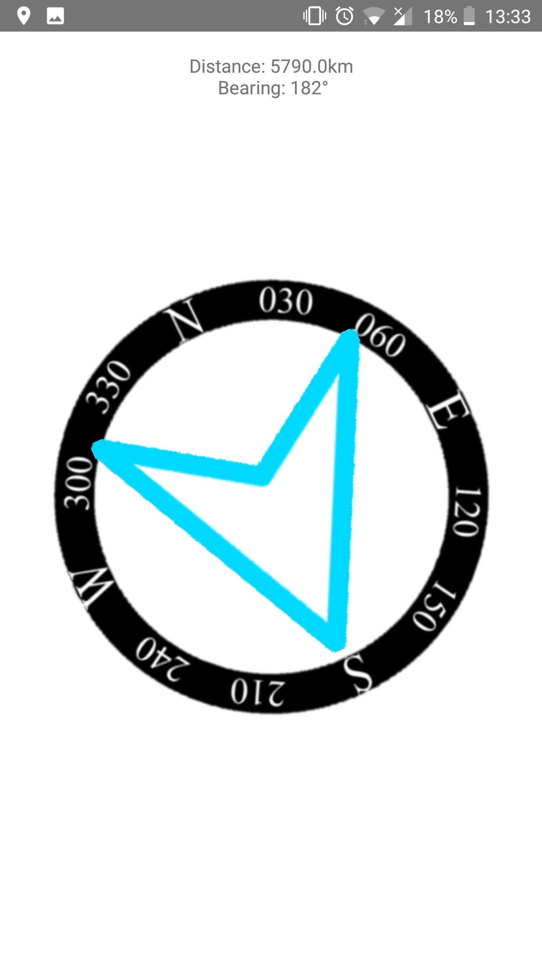
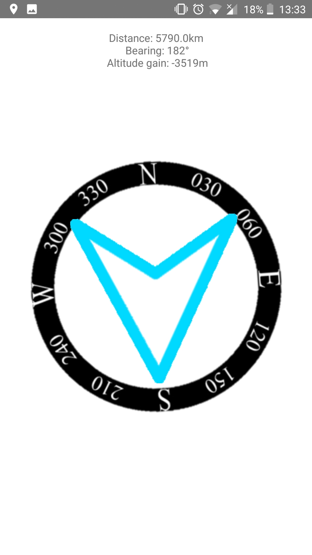
This is a navigation app that allows a user to enter a coordinates of any location and it will point you in the direction of that location, tell you the distance, bearing and, if you're connected to the internet, the altitude gain. You can use it for many different scenarios such as cross country navigation, finding a tent in festival, etc.
Its features include:
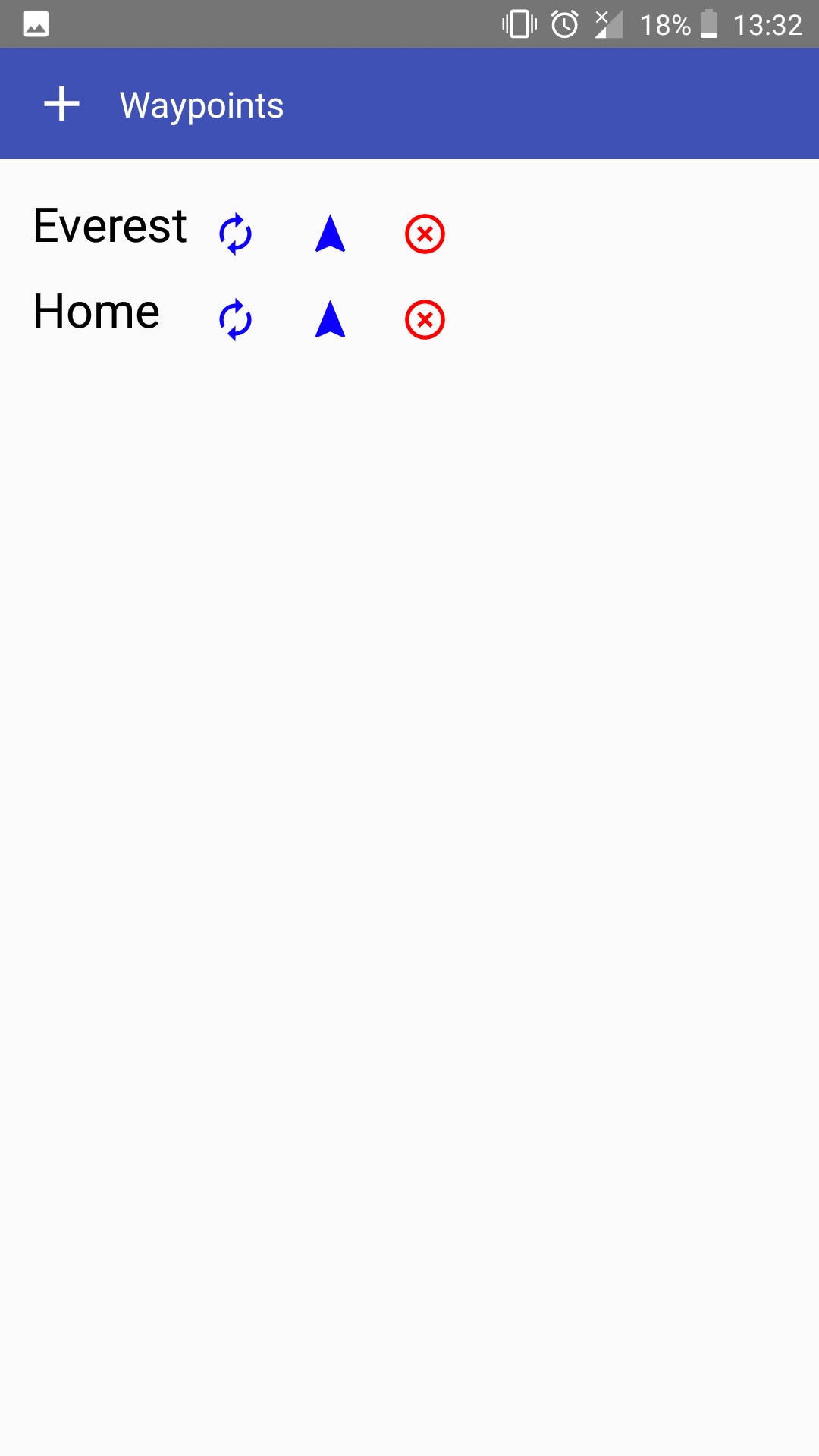
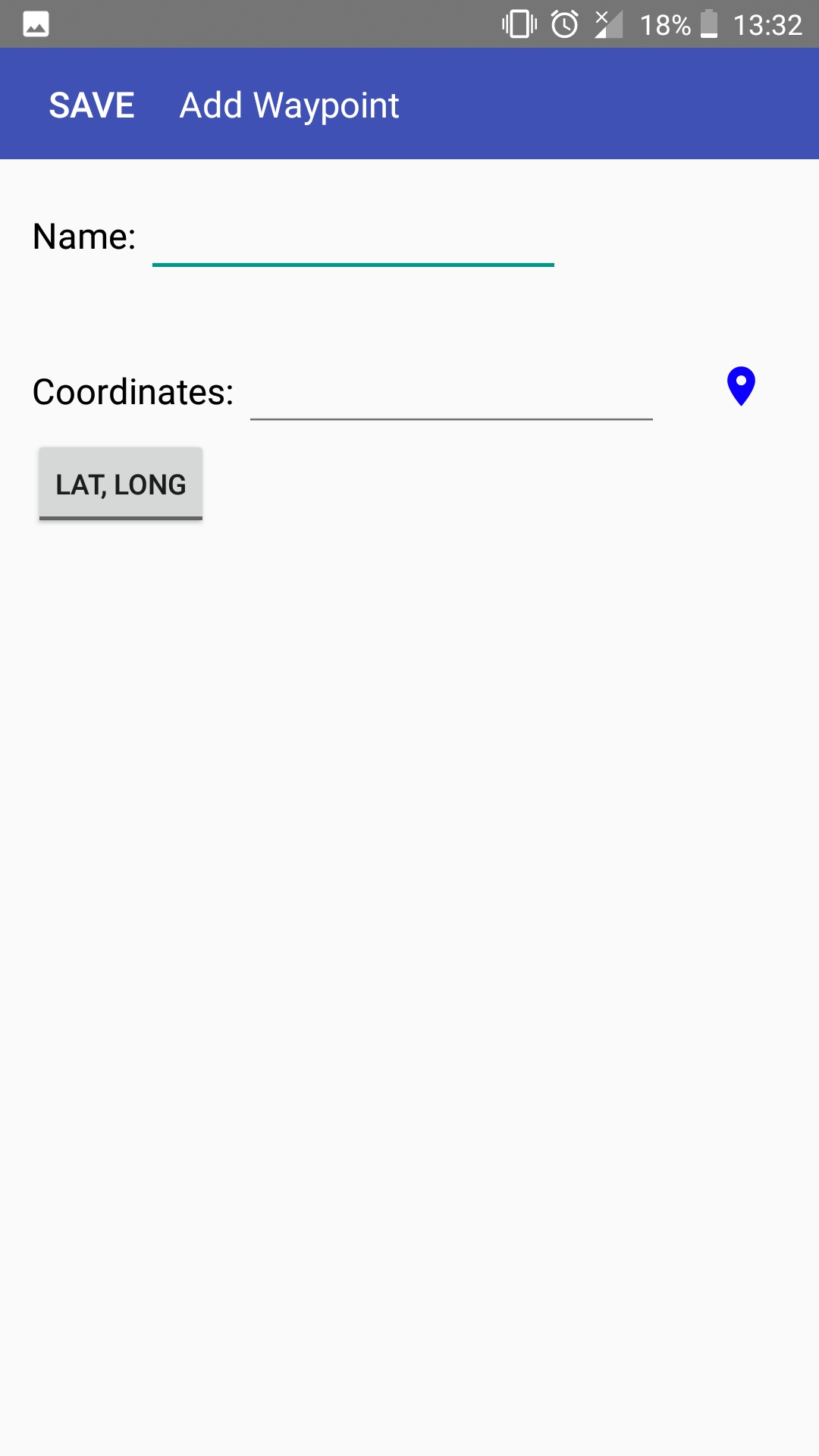
- Saving waypoints
- Moving onscreen compass
- Select location with either latitude and longitude or OS map grid reference
- Tell altitude gain to the destination
I plan to add routes as a series of waypoints to the app.
Adding routes has been put on hold as I have returned to uni.
