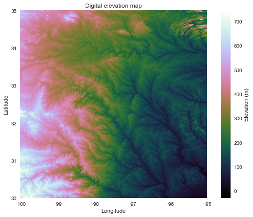
Simple and fast watershed delineation in python.
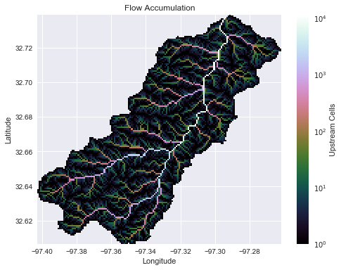
- Flow Direction to Flow Accumulation
- Catchment delineation from Flow Direction
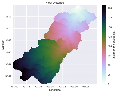
- Distance to outlet
- Fractional contributing area between differently-sized grids
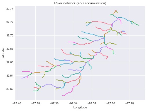
- River network extraction
- Read/write raster or ASCII files
pysheds currently only supports a d8 routing scheme
See examples/quickstart for more details.
Data available via the USGS HydroSHEDS project.
    # Read elevation and flow direction rasters
    # ----------------------------
    from pysheds.grid import Grid

    grid = Grid.from_raster('n30w100_con',
                             data_name='dem', input_type='ascii')
    grid.read_raster('n30w100_dir',
                      data_name='dir', input_type='ascii')
# Delineate a catchment
# ---------------------
# Specify pour point
x, y = -97.2937, 32.7371
# Specify directional mapping
dirmap=(64, 128, 1, 2, 4, 8, 16, 32)
# Delineate the catchment
grid.catchment(x, y, dirmap=dirmap, recursionlimit=15000,
xytype='label')
# Crop and plot the catchment
# ---------------------------
# Clip the bounding box to the catchment
grid.clip_to('catch', precision=5) # Calculate flow accumulation
# --------------------------
grid.accumulation(catch, dirmap=dirmap, pad_inplace=False) # Calculate distance to outlet from each cell
# -------------------------------------------
pour_point_y, pour_point_x = np.unravel_index(np.argmax(grid.view('catch')),
grid.shape)
grid.flow_distance(pour_point_x, pour_point_y, dirmap=dirmap) # Extract river network
# ---------------------
branches, yx = grid.extract_river_network(threshold=200)pysheds currently only supports Python3
    $ git clone https://github.com/mdbartos/pysheds.git
    $ cd pysheds
    $ python setup.py install
Performance benchmarks on a 2015 MacBook Pro:
- Flow Direction --> Flow Accumulation: 36 million grid cells in 15 seconds.
- Flow Direction --> Catchment: 9.8 million grid cells in 4.55 seconds.
- DEM to Flow Direction doesn't handle flats
- Float-based bbox indexing is problematic
- Add graph routines
- Allow conversion of CRS
- Raster to vector conversion and shapefile output


