Kelsey Chin, 2020. University of Washington, Seattle. Advanced Digital Geographies.
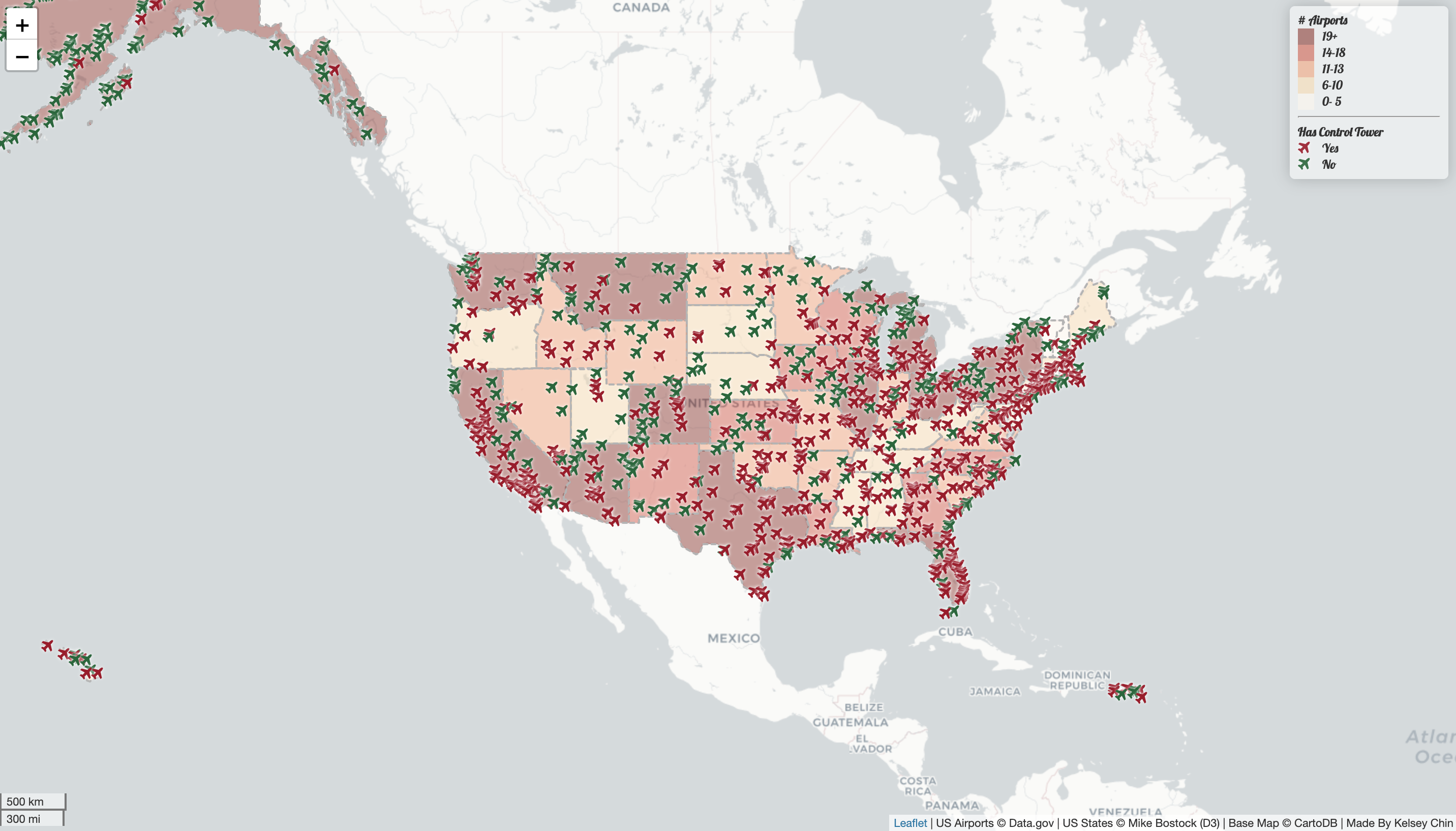
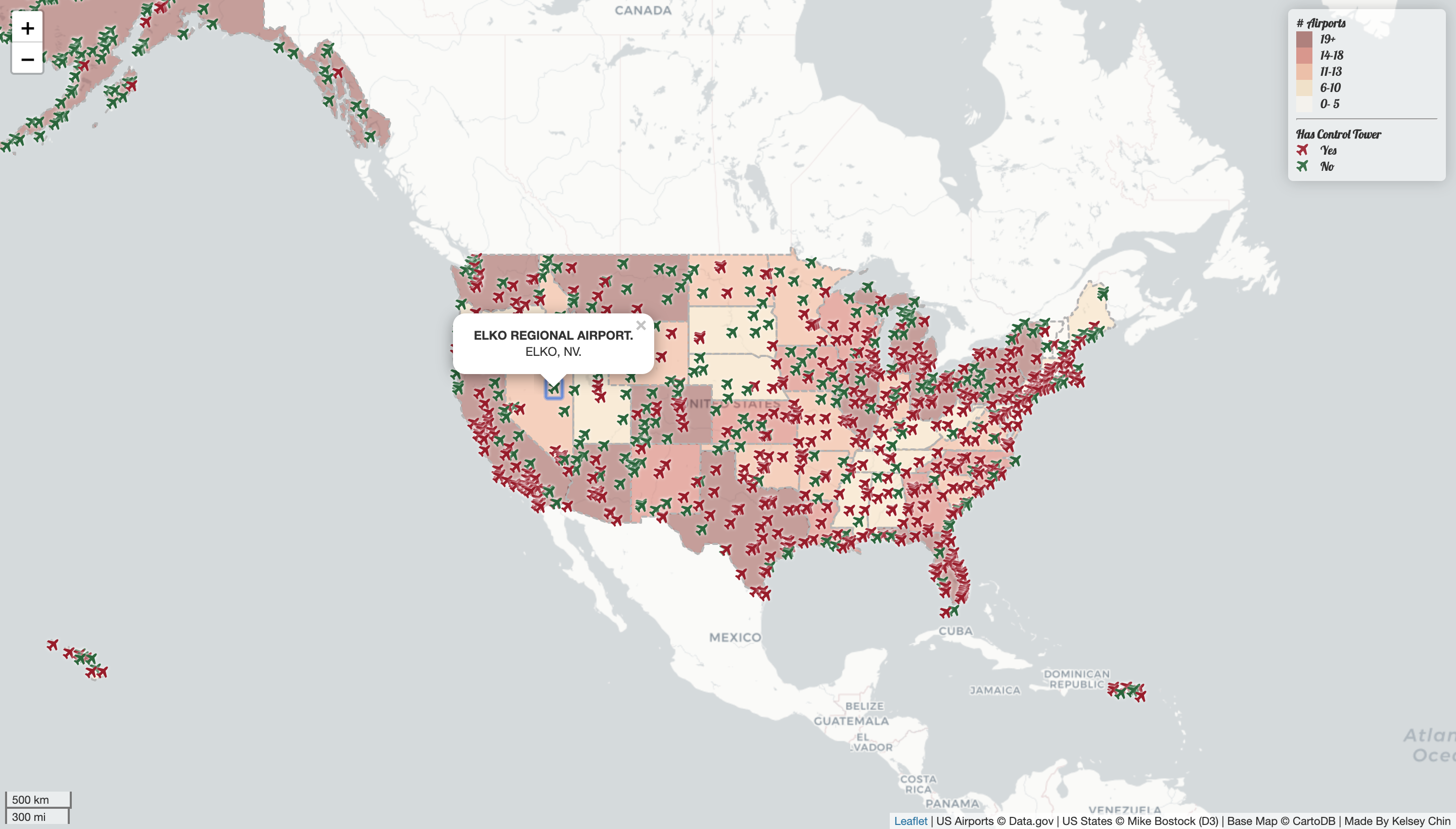
This map is a display of the airports in the United States as of 2012. States display relative counts of airports, and airports themselves are categorized by whether or not they have a control tower. A popup for each airport displays basic information such as the name and location.
- Basemap by CartoDB.
- Airport data sourced from
data.gov. - United States state boundary data from Mike Bostock of D3.

