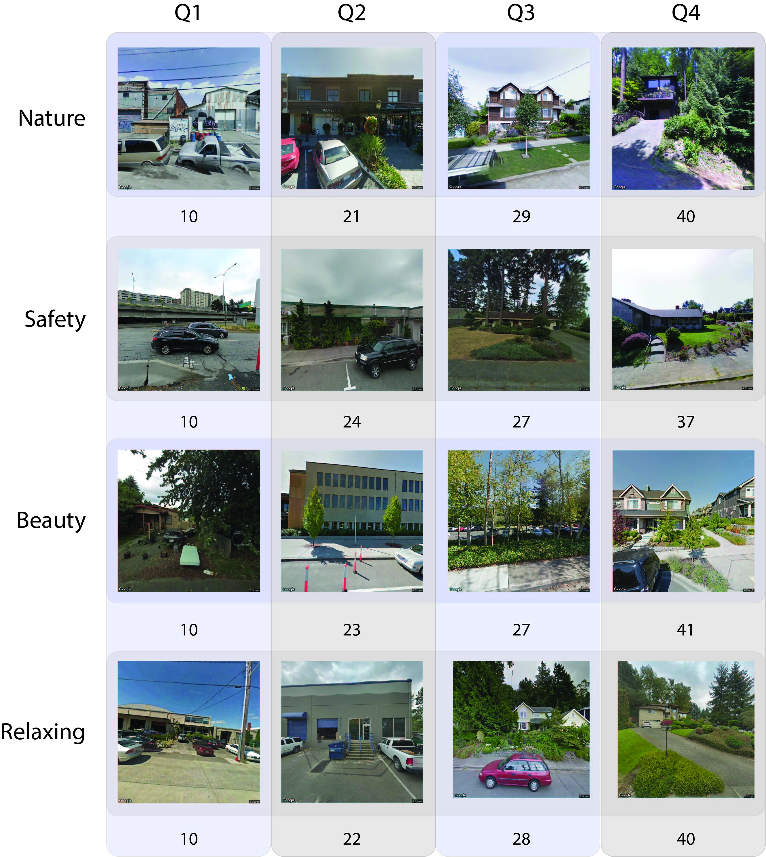
Collect perceptions of the urban built environment using Amazon mechanical turk
Author: Andrew Larkin
Principal Investigator: Perry Hystad
Summary: Create standardized methodology for capturing perceptions of street view locations using Google Street View and Amazon Mechanical Turk. Novel components of standardized methodology include:
- adjust for differences between road and compass heading while standardizing viewing angles
- creating training image sets that maximize distribution of built environment features
- select image comparison pairs with dyanmically updated trueskill scores
- adjust for personal bias using QA/QC questions and intravote variance for each participant
Repository Files
- dataFiles - the training dataset and documentation files
- statisticalAnalysis - analyze developed methods and output products
- surveyBackend - server used to distribute sampled image comparisons and collect participant respones
- surveyClient - React-based client to run survey in web browser
- lib - library of custom classes
- imageSelection - methods to sample and select GSV images for the training dataset
Additional Resources
- Spatial Health Lab - Oregon State University
- Amazon Mechanical Turk - used to recruit participants to the study
- Google Street View - standardized database of street view imagery
- Todo: enter link to Ajay's github repo
