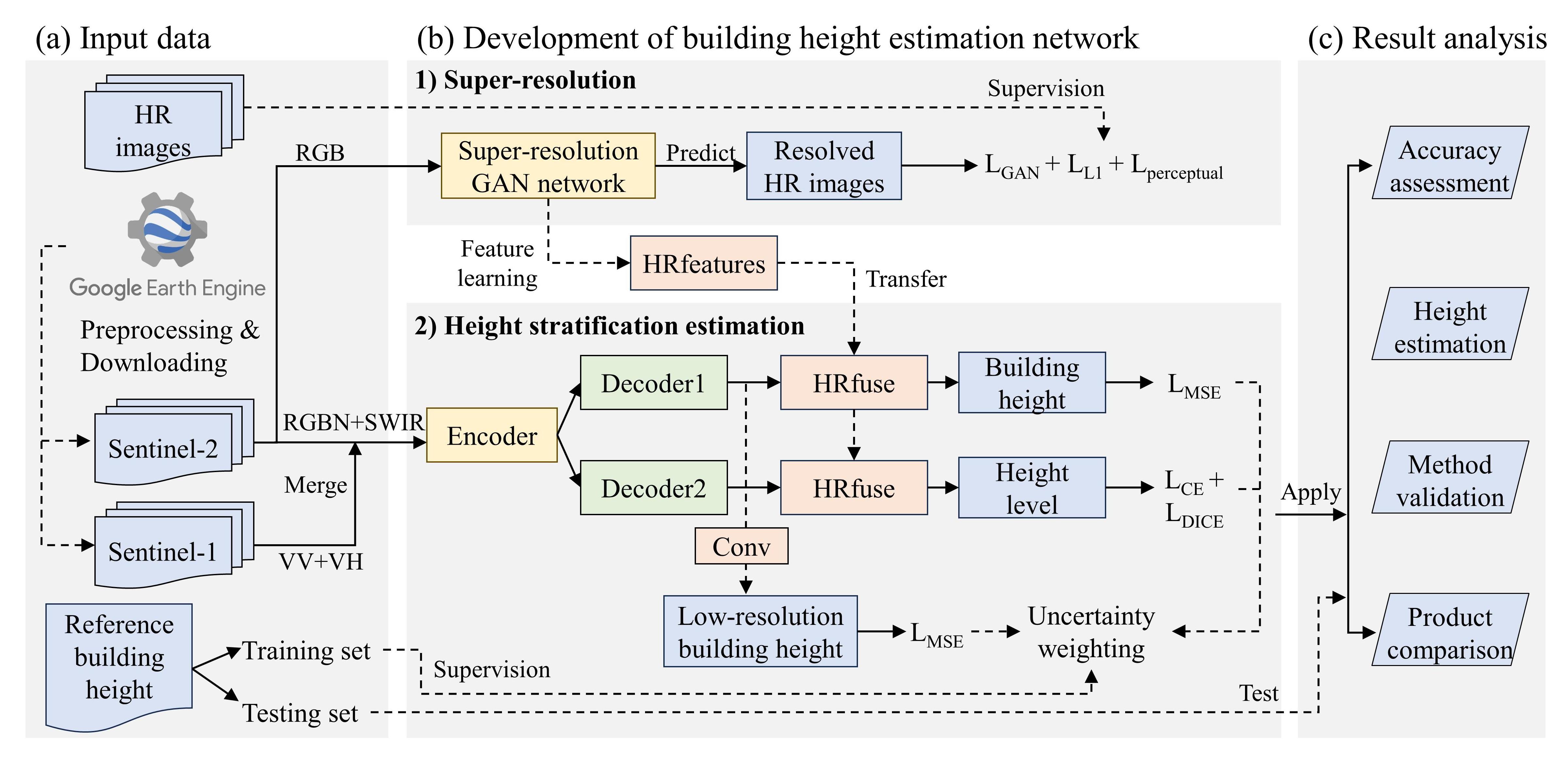
A deep learning-based super-resolution method for building height estimation at 2.5 m spatial resolution in the Northern Hemisphere
Author: Yinxia Cao, Qihao Weng* | Paper link | Date: August 2024 | Journal: Remote Sensing of Environment
- Download link in google drive, only with samples or Onedrive, full data. The total size is 2.72G
- Unzip them to a path (e.g.,
data) - Split dataset into train/val/test set, see the directory
dataThe specific spliting file is put inBH_dataset.py - Obtain the statistics of the dataset, see the directory
datasteglobeThe specifi file isstats_dataset_globe.py - Distribution of the dataset (45,000 samples)
- original building height data: onedrive
- original sentinel-1/2 data for sampling construction:
They were downloaded from GEE for each image patch (640 x 640 m), and therefore there is no orginal data.Just see1. the pre-processed data.
Necessary libraries were put in file requirements.txt
python train.py
See onedrive
- weights of the super-resolution module:
weights/realesrgan - weights of the proposed method for height estimation:
weights/realesrgan_feature_aggre_weight_globe - Results on testing set:
- Basic information
For large metropolitan areas, the file name is xx_large, while for metropolitan areas, the file name is xx_metro.
- Data and predicted results: see onedrive
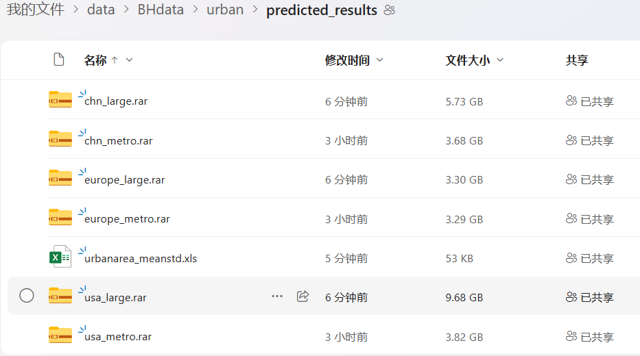
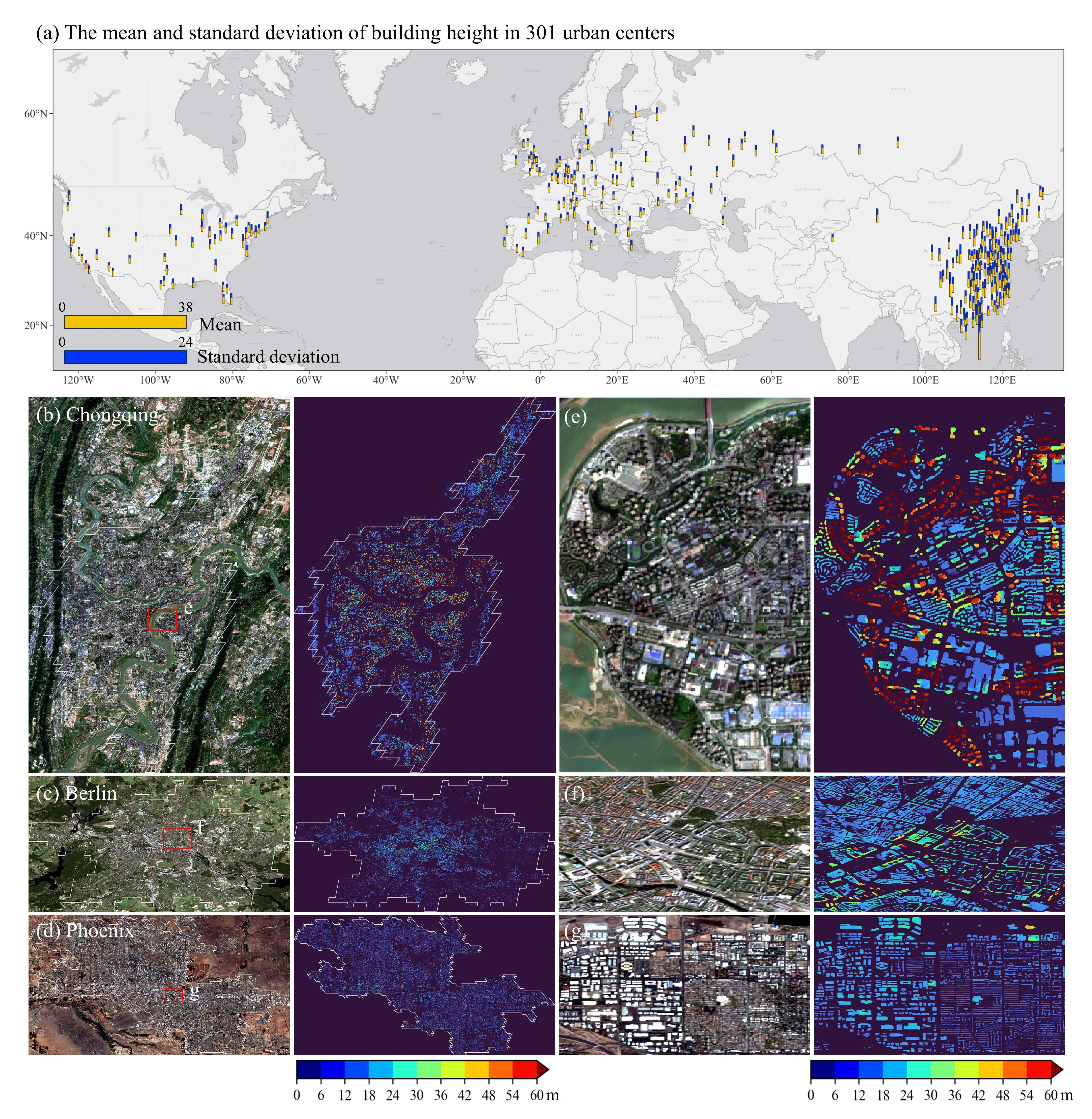
The mean and std of each urban center is put indatasetglobe/urbanarea_meanstd.xlsand the results are put in:
- Predicting by yourself
-
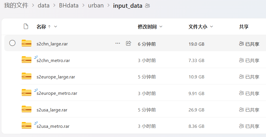
Download and put the origin data (S1&S2) in the current directory
data/urban/input_data

-
Prepare xx_grid.shp as the prediction unit
- Download WSF (world settlement footprint) 2019 at 10-m resolution as the valid built-up areas, see the official website
- Clip WSF to the extent of each urban center
- Convert the shapefile of urban centers into rasters
- Split each urban center into grid with size of 640 x 640 m
- Select the grid with wsf > 20 pixels
-
Predict all the urban centers
-
python predict_realesanet_feature_globe.py
- Download sentinel-1 & sentinel-2 from the GEE
- Download WSF
- Download sentinel-1 & sentinel-2 from the GEE platform coming soon

