Coral is a library of digital cartography functions implemented in Python 3.
The examples bellow use a public domain shapefile from the Natural Earth project.
Download it and unzip its contents to a folder named data.
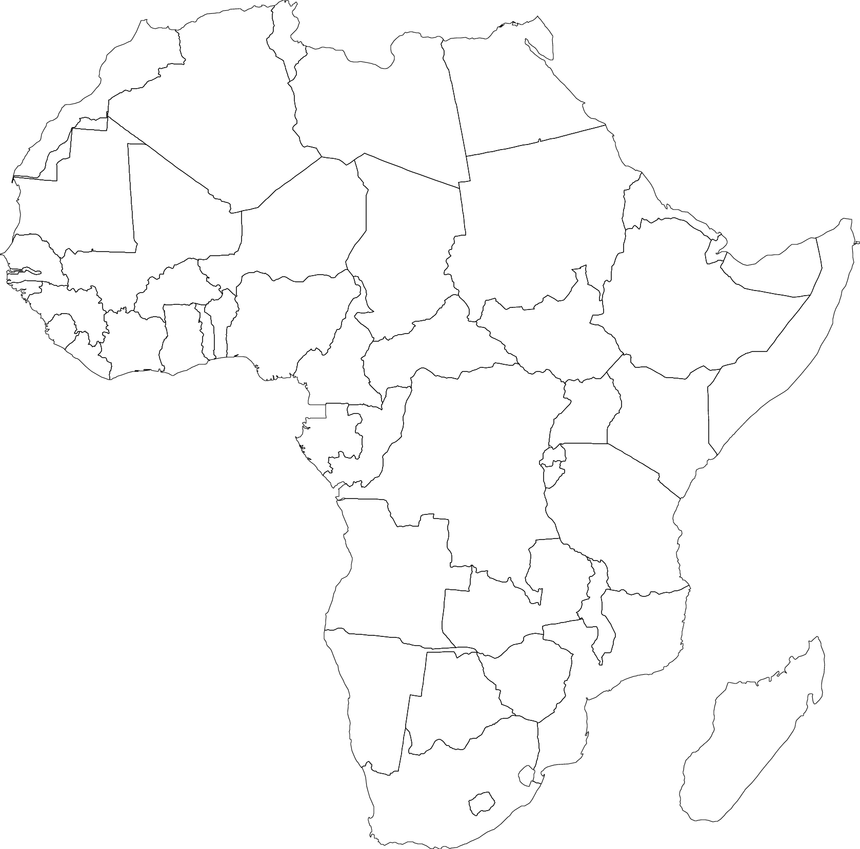
- Simple map of Africa.
from coral import shapefile, tqdm, coord, proj, vector

# Choose projection and scale.
prj = proj.TransMercator()
pixsz = 5000 # meters/pixel

# Load shapefile.
sfpath = "data/ne_50m_admin_0_countries"
sf = shapefile.Reader(sfpath, encoding='latin1')

# Draw countries to canvas.
cvs = vector.Canvas()
for sr in tqdm.tqdm(sf.shapeRecords()):
    # Ignore countries not in Africa.
    if sr.record[54] != "Africa":
        continue
    points = sr.shape.points
    offsets = list(sr.shape.parts) + [len(points)]
    for a, b in zip(offsets[:-1], offsets[1:]):
        # Ignore some small islands.
        if b - a < 50:
            continue
        # Project points.
        polygon = (prj.geo2rect(lon, lat) for lon, lat in points[a:b])
        # Simplify polygons to reduce number of points.
        polygon = coord.simplify(polygon, pixsz)
        cvs.addpolygon(polygon, stroke=0)
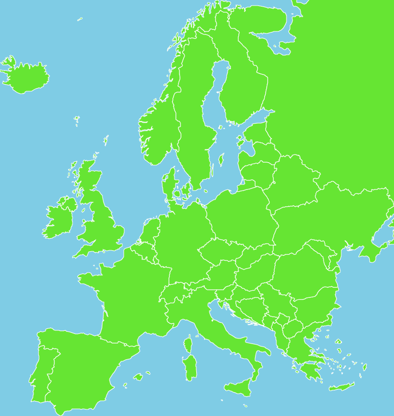
cvs.save("africa.eps")- Simple map of Europe with color.
from coral import shapefile, tqdm, coord, proj, vector

# Define region of interest.
lon0, lon1 = -25, 41
lat0, lat1 = 35, 72

# Define Albers Projection for region of interest.
latos = (lat1 - lat0) / 6
parallels = lat0 + latos, lat1 - latos
prj = proj.ConicEqualArea(parallels)
pixsz = 5000

# Define some colors
land =  0.4, 0.9, 0.2
border = 1, 1, 1 # this is white
ocean = 0.5, 0.8, 0.9

sfpath = "data/ne_50m_admin_0_countries"
sf = shapefile.Reader(sfpath, encoding='latin1')

cvs = vector.Canvas(ocean)
for sr in tqdm.tqdm(sf.shapeRecords()):
    if sr.record[54] != "Europe":
        continue
    points = sr.shape.points
    offsets = list(sr.shape.parts) + [len(points)]
    for a, b in zip(offsets[:-1], offsets[1:]):
        # Prevent some lands from interfering on the region of interest.
        lon, lat = points[a]
        outside = not lon0 < lon < lon1 or not lat0 < lat < lat1
        if outside:
            bb = cvs.bbox
        polygon = (prj.geo2rect(lon, lat) for lon, lat in points[a:b])
        polygon = coord.simplify(polygon, pixsz)
        cvs.addpolygon(polygon, fill=land, stroke=border)
        if outside:
            cvs.bbox = bb
cvs.save("europe.eps")Coral is released under the MIT License. See LICENSE.rst for more information.

