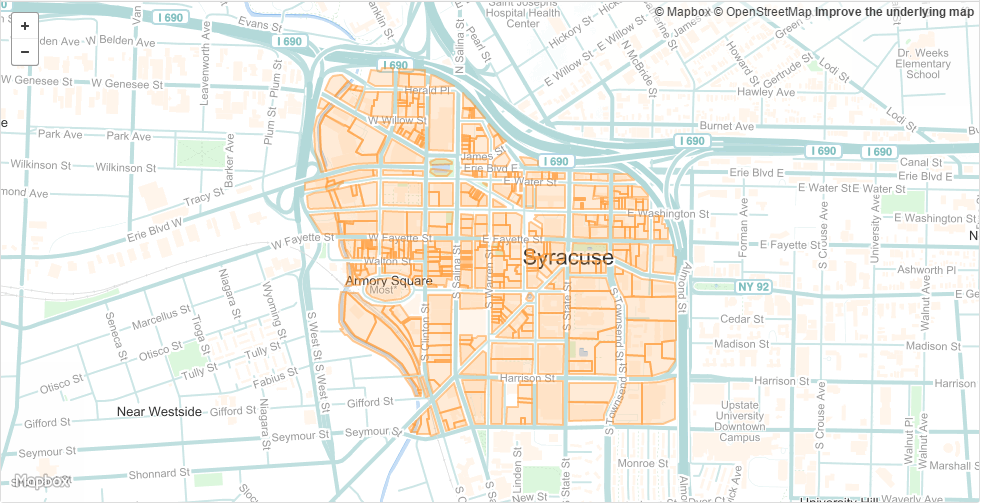
This vignette contains some examples from various mapping packages in R to introduce the reader to some usefull geospatial tools and conventions in the open-source world.
The R Notebook of this tutorial is available as an RPub.
The demographic data for the choropleth maps is from the DataUSA API.
A tutorial on using the DataUSA API is available as a GitHub Gist here.
The code violation CSV file is available in the data folder.
The shapefile for downtown tax parcels is available here..
