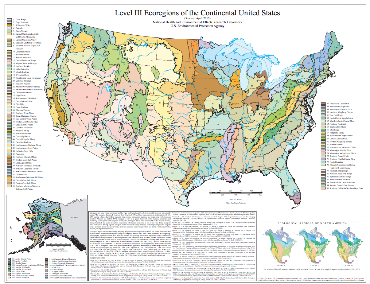
The data I chose for this project are Omernik Level III Ecoregions of the Continental United States. Provided by the EPA,
"Ecoregions are areas where ecosystems (and the type, quality, and quantity of environmental resources) are generally similar. This ecoregion framework is derived from Omernik (1987) [1] and from mapping done in collaboration with U.S.EPA regional offices, other Federal agencies, state resource management agencies, and neighboring North American countries (Omernik and Griffith 2014) [2]."
| name | size (MB) |
|---|---|
| ecoregions.geojson | 90.3 MB |
| ecoregions_simplified.geojson | 79.9 MB |
| ecoregions_topo.geojson | 19.1 MB |
[1] : Omernik, J.M., 1987. Ecoregions of the conterminous United States. Annals of the Association of American geographers, 77(1), pp.118-125.
[2]: Omernik, J.M. and Griffith, G.E., 2014. Ecoregions of the conterminous United States: evolution of a hierarchical spatial framework. Environmental management, 54(6), pp.1249-1266.