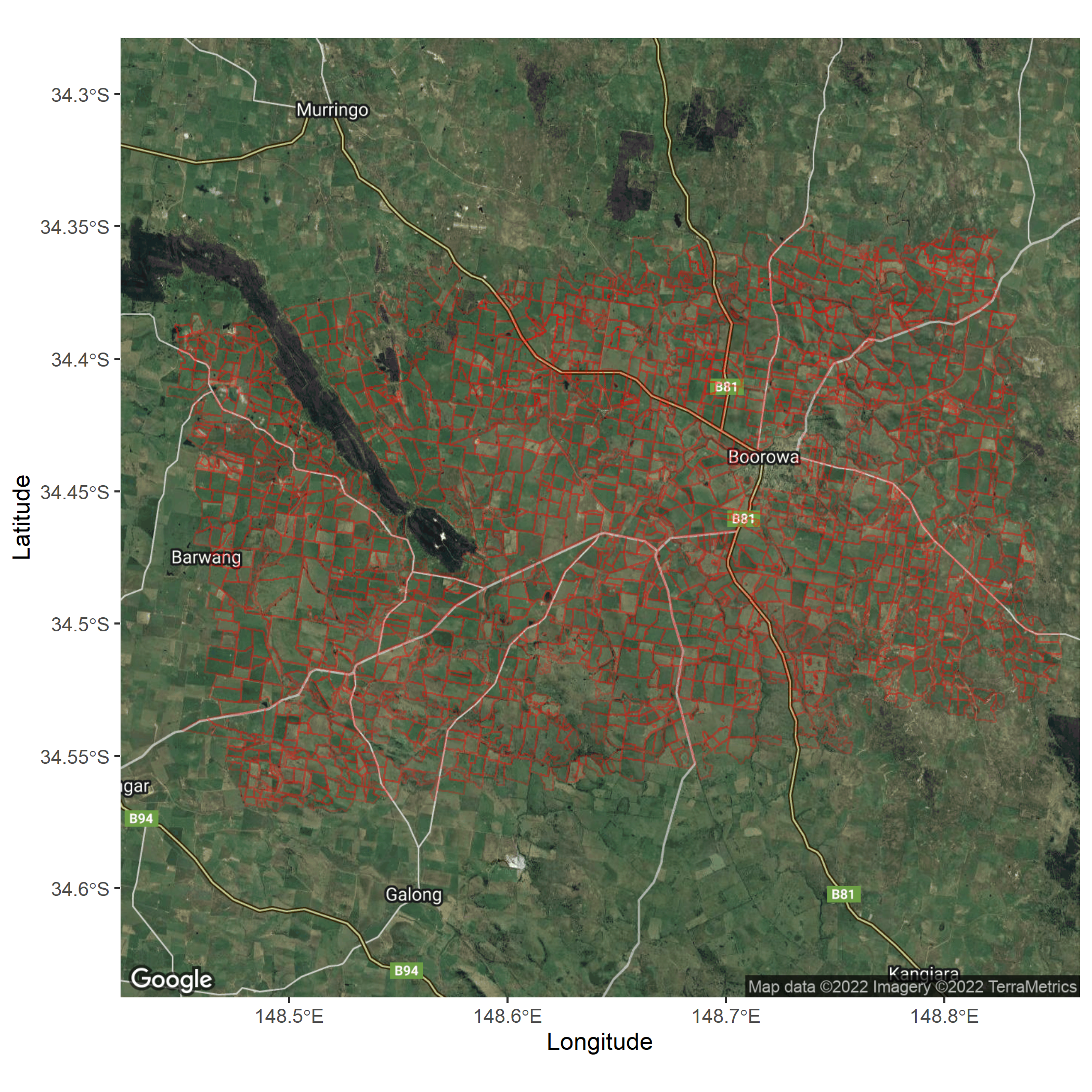
Data from: https://agdatashop.csiro.au/epaddock-australian-paddock-boundaries
Google Maps API key required to underlay Google map of satellite or hybrid map etc. Low volume use essentially free, setting up account takes a number of steps.
Example output from the script "test eppadocks from CSIRO.R"
