Retrieves elevation data for US geographies. Built on tigris and elevatr.
get_elevation_data() takes a state, county or tract fips code and returns a map, a gridded raster of elevation data, raw elevation data and an estimate of mean elevation across the geography.
get_elevation_data_batch() take a state FIPS code and returns elevation data for counties or tracts within that state. Elevation data includes the mean elevation for the substate geography and also the elevation at the center of population. The center of population elevation helps account for the fact that population density and elevation are sometimes inversely correlated (e.g., a situation where the county includes a mountain and a valley but most people live in the valley).
install.packages("devtools")
devtools::install_github("marsha5813/elevationus")
library(elevationus)
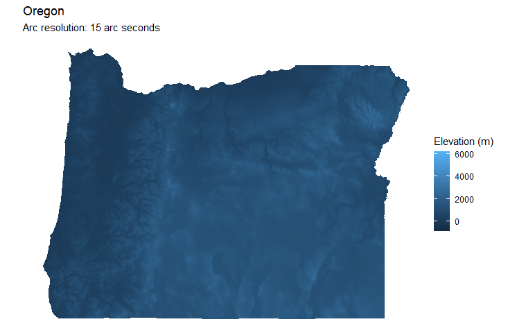
elev <- get_elevation_data(level = "state", geoid = "41")
print(paste("Mean elevation:",elev$elevation_mean,"meters"))
elev$map
[1] "Mean elevation: 1073 meters"

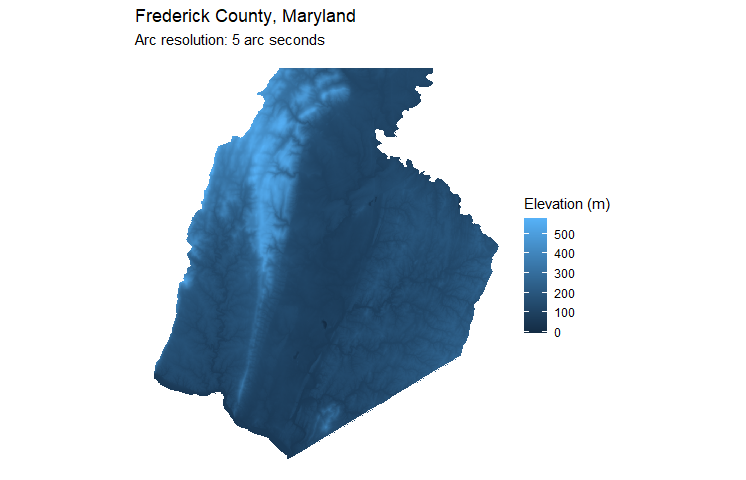
Increase resolution to 5 arc seconds.
elev <- get_elevation_data(level = "county", geoid = "24021", z = 10)
print(paste("Mean elevation:",elev$elevation_mean,"meters"))
elev$map
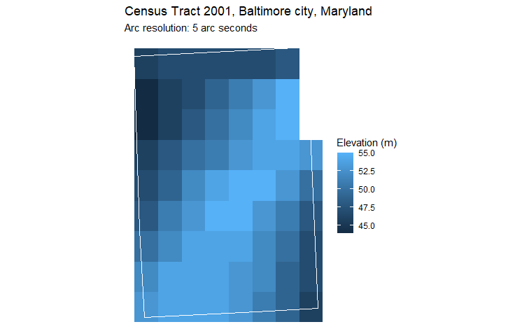
Notice the pixelated elevation data at 5 arc seconds
elev <- get_elevation_data(level = "tract", geoid = "24510200100", z = 10)
print(paste("Mean elevation:",elev$elevation_mean,"meters"))
elev$map
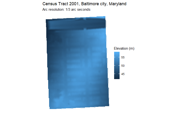
Dial resolution up to 1/3 arc seconds
elev <- get_elevation_data(level = "tract", geoid = "24510200100", z = 14)
elev$map
get_elevation_data_batch(level = "county", state = "24")
| GEOID | NAMELSAD | STATE_NAME | elevation_popcenter | elevation_popcenter | |
|---|---|---|---|---|---|
| 1 | 24001 | Allegany County | Maryland | 505 | 382 |
| 2 | 24003 | Anne Arundel County | Maryland | 30 | 29 |
| 3 | 24005 | Baltimore County | Maryland | 138 | 130 |
| 4 | 24009 | Calvert County | Maryland | 45 | 27 |
| 5 | 24011 | Caroline County | Maryland | 13 | 15 |
| ... |
get_elevation_data_batch(level = "tract", state = "24")
| GEOID | NAMELSAD | NAMELSADCO | STATE_NAME | elevation_popcenter | elevation_mean | |
|---|---|---|---|---|---|---|
| 1 | 24001000100 | Census Tract 1 | Allegany County | Maryland | 381 | 306 |
| 2 | 24001000200 | Census Tract 2 | Allegany County | Maryland | 366 | 311 |
| 3 | 24001000500 | Census Tract 5 | Allegany County | Maryland | 241 | 237 |
| 4 | 24001000600 | Census Tract 6 | Allegany County | Maryland | 246 | 224 |
| ... |
get_elevation_data_batch(level = "tract", state = "24", county = "001")
(table not shown)
The 'z' argument ranges from 0 to 16 and is passed to elevatr::get_elev_raster(). See the tilezen documentation for data sources and resolutions returned at each level of z.
- Option for whole nation
- Handle imports more carefully. See function conflicts. Import specific functions rather than whole namespaces.


