snowtools
A collection of tools for processing and analyzing snow data
Features
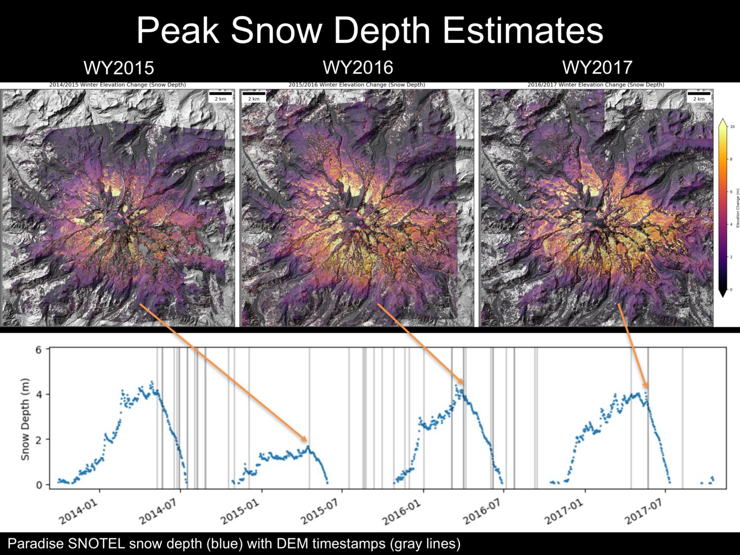
- Automated querying and processing of SNOTEL data from CUAHSI database
- Processing and analysis of NASA SnowEx campaign data
- Automated retrieval and processing of MODSCAG fracitonal snow-covered area (fSCA) products
- Automated retrieval and processing of SNODAS model snow depth
Examples
Tools
get_snotel.py- retrieve SNOTEL data for a given input extent (e.g., raster snow depth map from ΔDEM)- Note: can use
compute_dz.pyin demcoreg repo to compute snow depth from two arbitrary input DEMs (e.g. LiDAR, SfM, satellite stereo)
- Note: can use
swe.py- convert snow depth raster to snow water equivalent (SWE)get_modscag.py- extract MODSCAG fSCA for a given date to match another raster (e.g. LS8 image, DEM)get_snodas.py- extract SNODAS model snow depth for a given date to match another raster (e.g. LS8 image, DEM)
Future
- Implement multiple snow models (e.g., Sturm et al. [2010]) to estimate density for arbitrary location and timestamp
