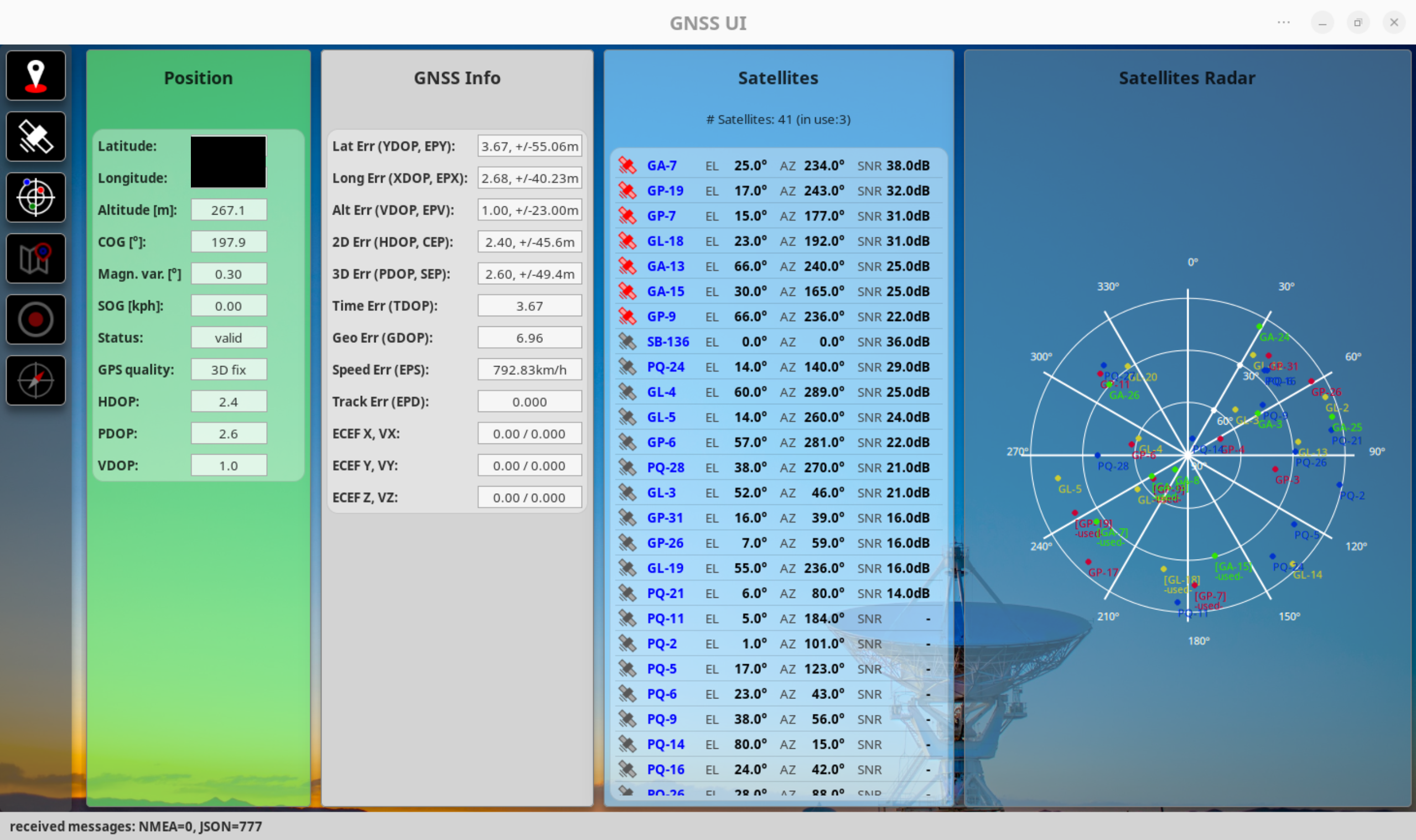
GTK4 / Python based GNSS dashboard to display information gathered from GNSS receivers. The application includes a simple GPSD client that is capable of requesting NMEA and JSON data from a GPSD instance.
NOTE: This application is work in progress and possibly unstable, so things may break!
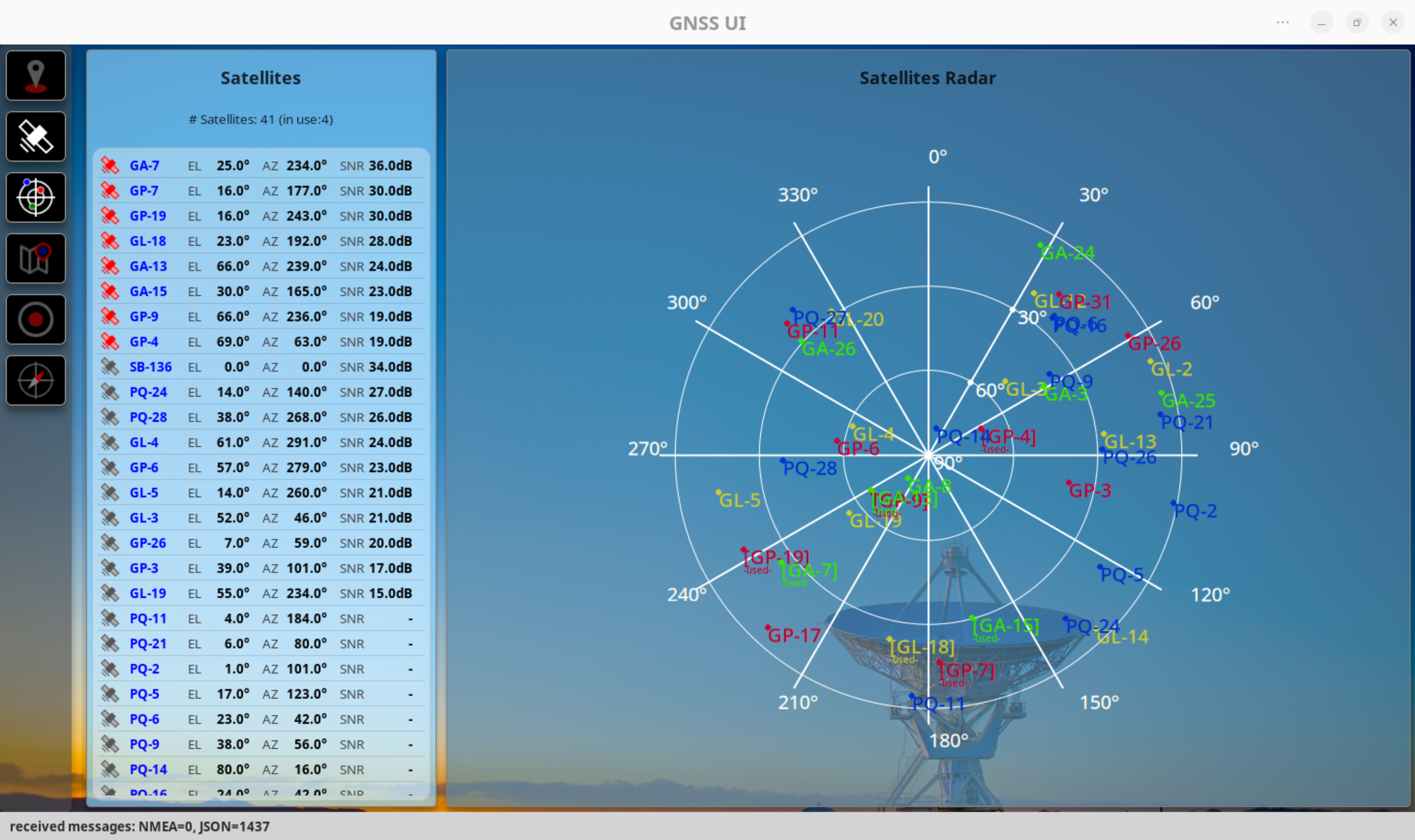
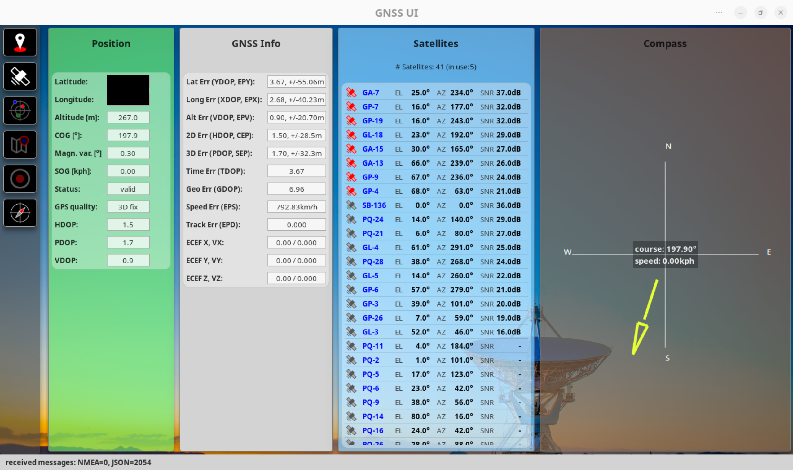
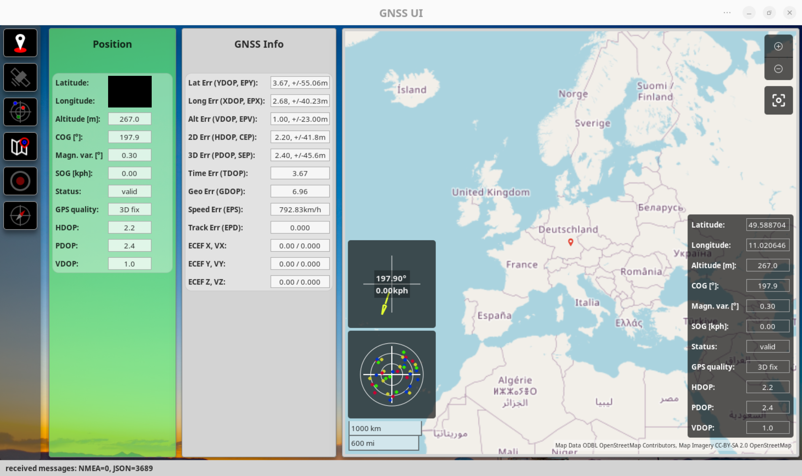
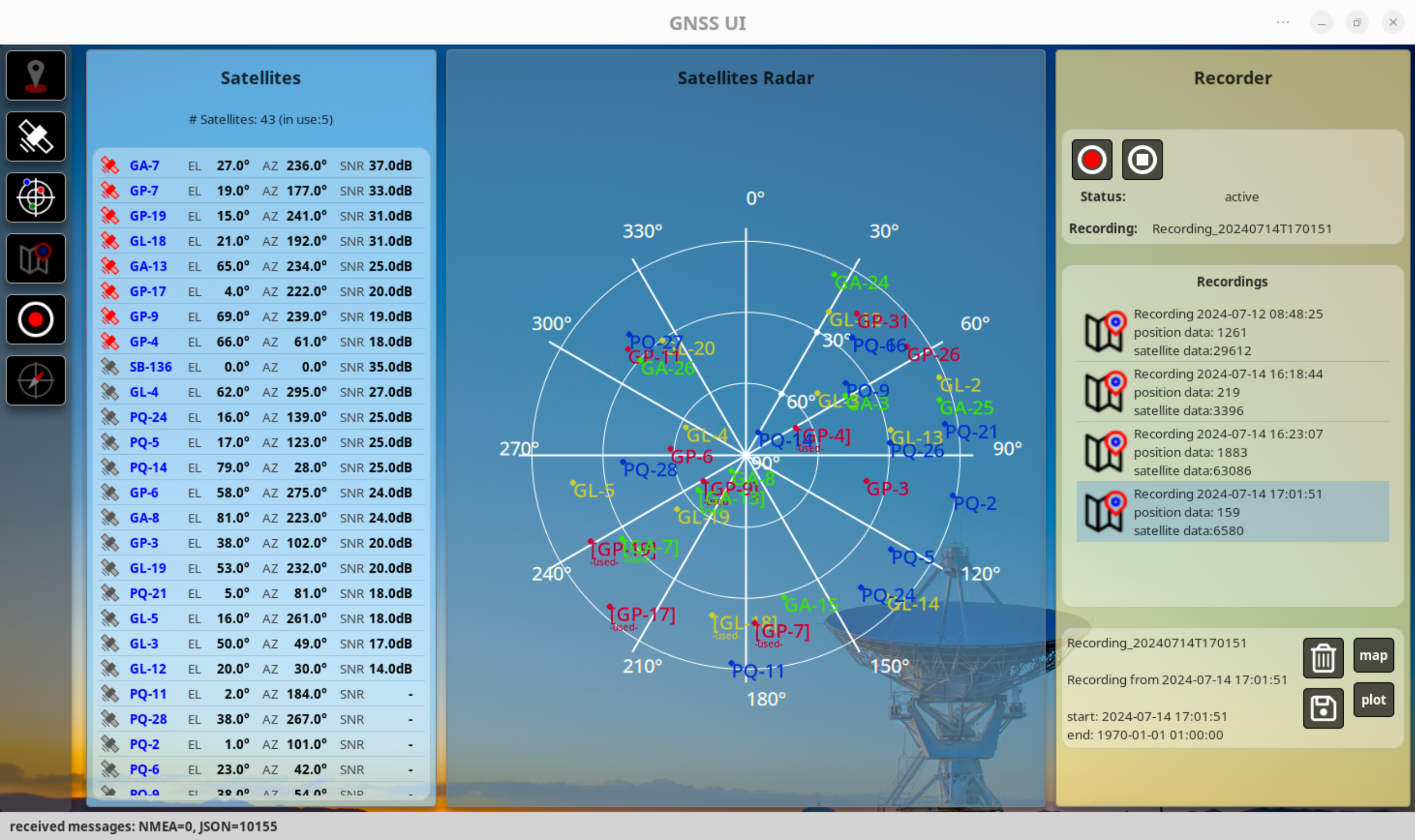
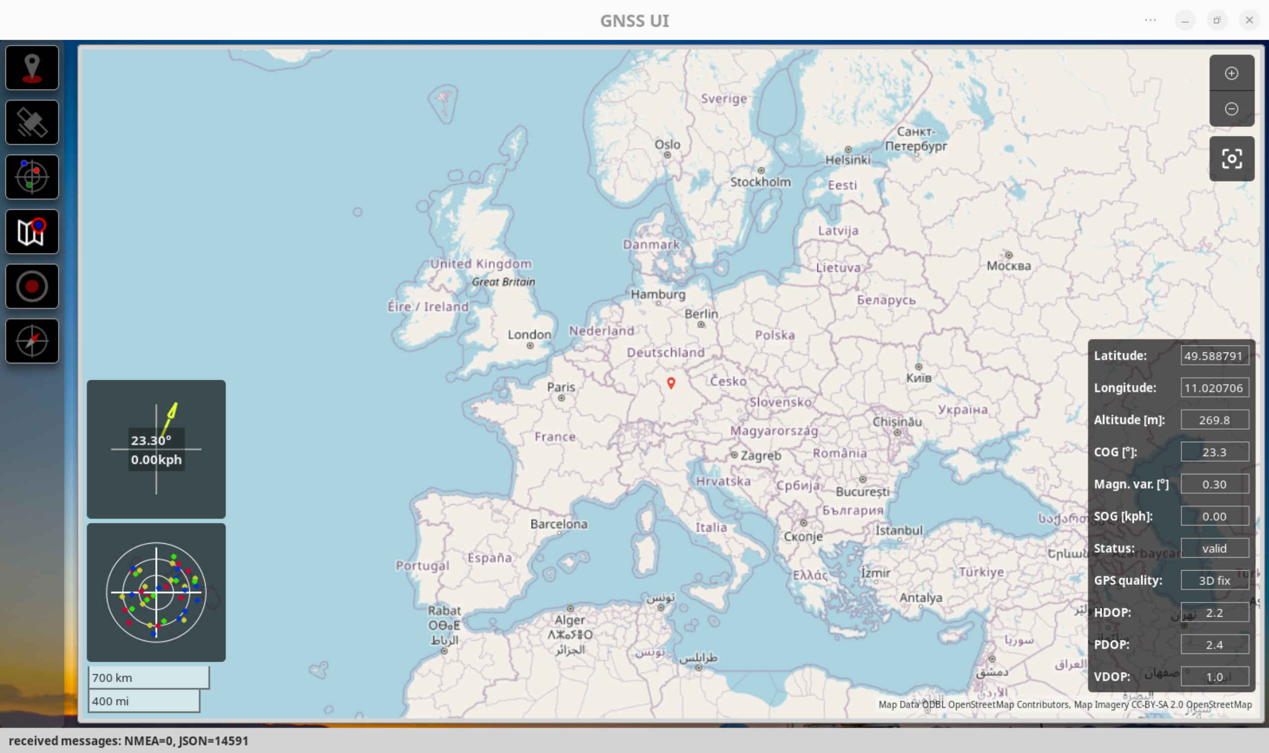
The UI allows displaying various information, such as:
- current position and gps quality
- current satellites in view and available
- positions of the satellites in a graphical view
- a map with the current position
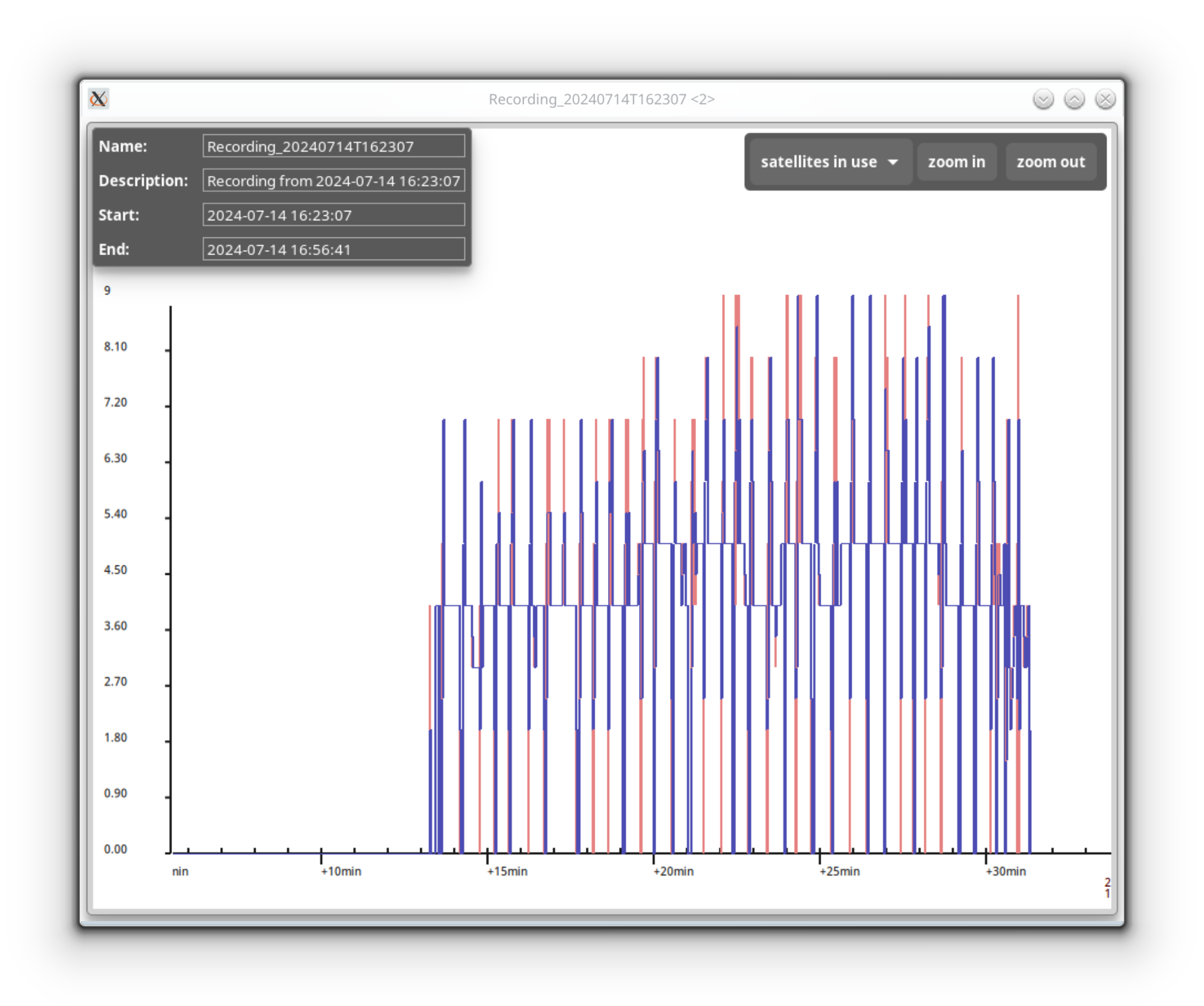
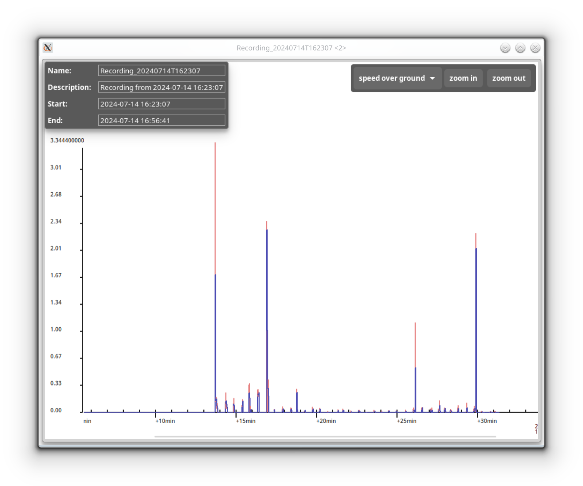
In addition, the application allows recording GNSS tracks and exporting to GPX files.
Some screenshots:
Several methods are possible to use or install the gnss-ui:
- git: just clone the repo and start
gnss-ui.pyin thesrcsubdirectory. - arch linux: a separate project to build an arch linux package exists at https://github.com/mr-ingenious/gnss-ui-pkg. Please find further explanations there.
If time permits, maybe packaging for other linux distributions will be added.
Some python libraries are required (versions I currently use in brackets):
- GTK4 (version 4.14.4)
- PyGOBject (version 3.48.2)
- Cairo (version 1.26.0)
- libshumate (https://gitlab.gnome.org/GNOME/libshumate) (version 1.2.2)
The application is configurable via the appconfig.json file located at ~/.config/gnss-ui. The file is created automatically at first startup. Changes are effective after application restart.
Example (default settings):
{
    "created": "2024-07-11 22:14:18",
    "last_update": "2024-07-11 22:14:18",
    "config": {
        "general": {
            "panel_refresh_cycle_sec": 2,
            "resolution": {
                "height": 800,
                "width": 1200
            }
        },
        "ttyc": {
            "ttyname": "/dev/ttyUSB1",
            "baudrate": 9600
        },
        "gpsd": {
            "hostname": "localhost",
            "port": 2947
        },
        "startup": {
            "connect_to_gpsd": true,
            "panels_shown": [
                "map",
                "satellites_list"
            ]
        },
        "map_panel": {
            "auto_center": true,
            "initial_zoom_level": 5,
            "show_satellites_dashboard": true,
            "show_position_dashboard": true,
            "show_compass_dashboard": true,
            "start_latitude": 0.0,
            "start_longitude": 0.0
        },
        "recording": {
            "export": {
                "directory": "~/.gnss-ui"
            }
        }
    }
}
Description of the configuration options:
| Configuration group | Description |
|---|---|
| general | Configuration of the default resolution of the UI and the refresh cycle of the panels |
| ttyc | Serial connection settings, if modem or GNSS receiver output (NMEA0183 format) shall be used directly |
| gpsd | Connection settings for use of gpsd. The gpsd JSON output format will be used |
| startup | Settings for startup, e.g., whether a connection to gpsd or serial connection shall be automatically established, or which panels are visible (possible values: "position", "satellites_list", "satellites_radar", "map", "compass", "recorder") |
| map_panel | Various settings for the map panel, such as start position of the map (default: 0,0), the zoom level or visibility of different dashboards within the map panel |
| recording | Recording specific settings, such as the export directory |
Logging can be configured with a log.ini file: ~/.config/gnss-ui/log.ini. As default, no log configuration file is created automatically, but the default logging is active (i.e., the application logs to ~/.gnss-ui/gnss-ui.log)
Example log.ini:
[loggers]
keys=root,app,datamodel,gpsd,ttyc,config,recorder,preferences

[handlers]
keys=consoleHandler,fileHandler

[formatters]
keys=fileFormatter,consoleFormatter

[logger_root]
level=DEBUG
handlers=consoleHandler

[logger_app]
level=INFO
handlers=consoleHandler,fileHandler
qualname=app
propagate=0

[logger_preferences]
level=DEBUG
handlers=consoleHandler,fileHandler
qualname=preferences
propagate=0

[logger_datamodel]
level=INFO
handlers=consoleHandler,fileHandler
qualname=datamodel
propagate=0

[logger_gpsd]
level=INFO
handlers=consoleHandler,fileHandler
qualname=gpsd
propagate=0

[logger_ttyc]
level=INFO
handlers=consoleHandler,fileHandler
qualname=ttyc
propagate=0

[logger_config]
level=INFO
handlers=consoleHandler,fileHandler
qualname=config
propagate=0

[logger_recorder]
level=DEBUG
handlers=consoleHandler,fileHandler
qualname=recorder
propagate=0

[handler_consoleHandler]
class=StreamHandler
level=DEBUG
formatter=consoleFormatter
args=(sys.stdout,)

[handler_fileHandler]
class=FileHandler
level=INFO
formatter=fileFormatter
args=('gnss-ui.log',)

[formatter_fileFormatter]
format=[%(asctime)s] [%(name)s] [%(levelname)s] %(message)s
datefmt=

[formatter_consoleFormatter]
format=[%(asctime)s] [%(name)s] [%(levelname)s] %(message)s
datefmt=
To make use of gpsd (see https://gpsd.gitlab.io/gpsd/ ) the daemon must be running in the background, but can also be started manually, e.g. for testing: gpsd -nND5 /dev/ttyUSB1. Refer to gpsd settings in the appconfig.json.
Another possibility is to use the GNSS output from the modem / GNSS receiver directly (e.g., /dev/ttyUSB1) - see ttyc settings in the appconfig.json.
The application creates its files in ~/.gnss-ui. Such files are
- the SQLite database storing the recorded GNSS position information, satellites information etc.
- the default output directory for recording exports.
- the application log file
The application has been tested on a notebook with an integrated Quectel EM-05G modem, connected to gpsd and also via a direct connection to the serial GNSS output of the modem.
Compatibility with other modems or GNSS receivers is not guaranteed.
