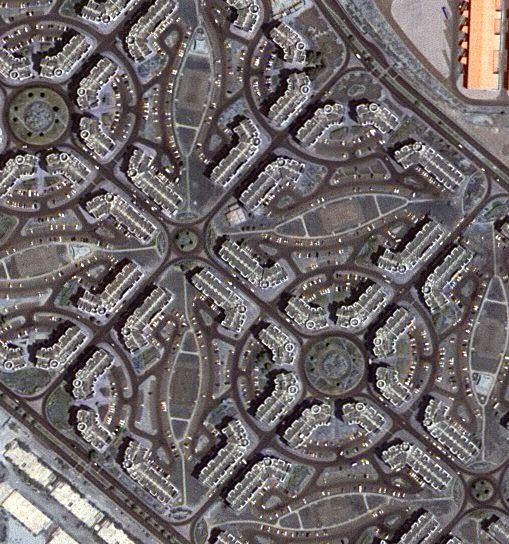
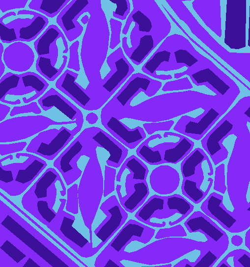
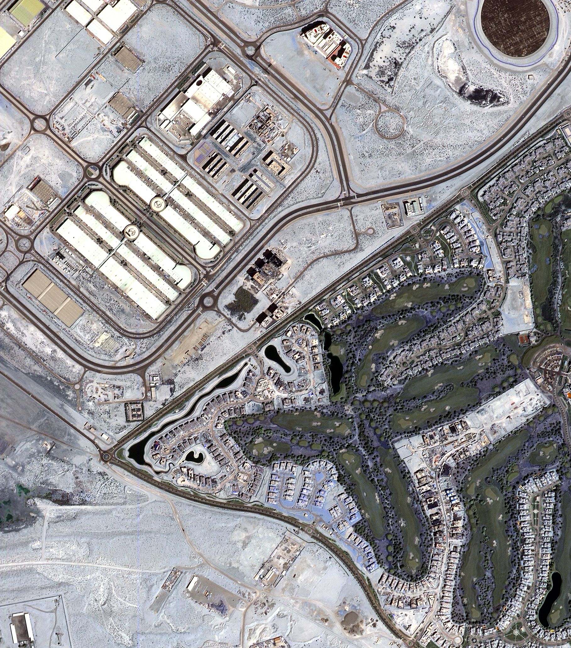
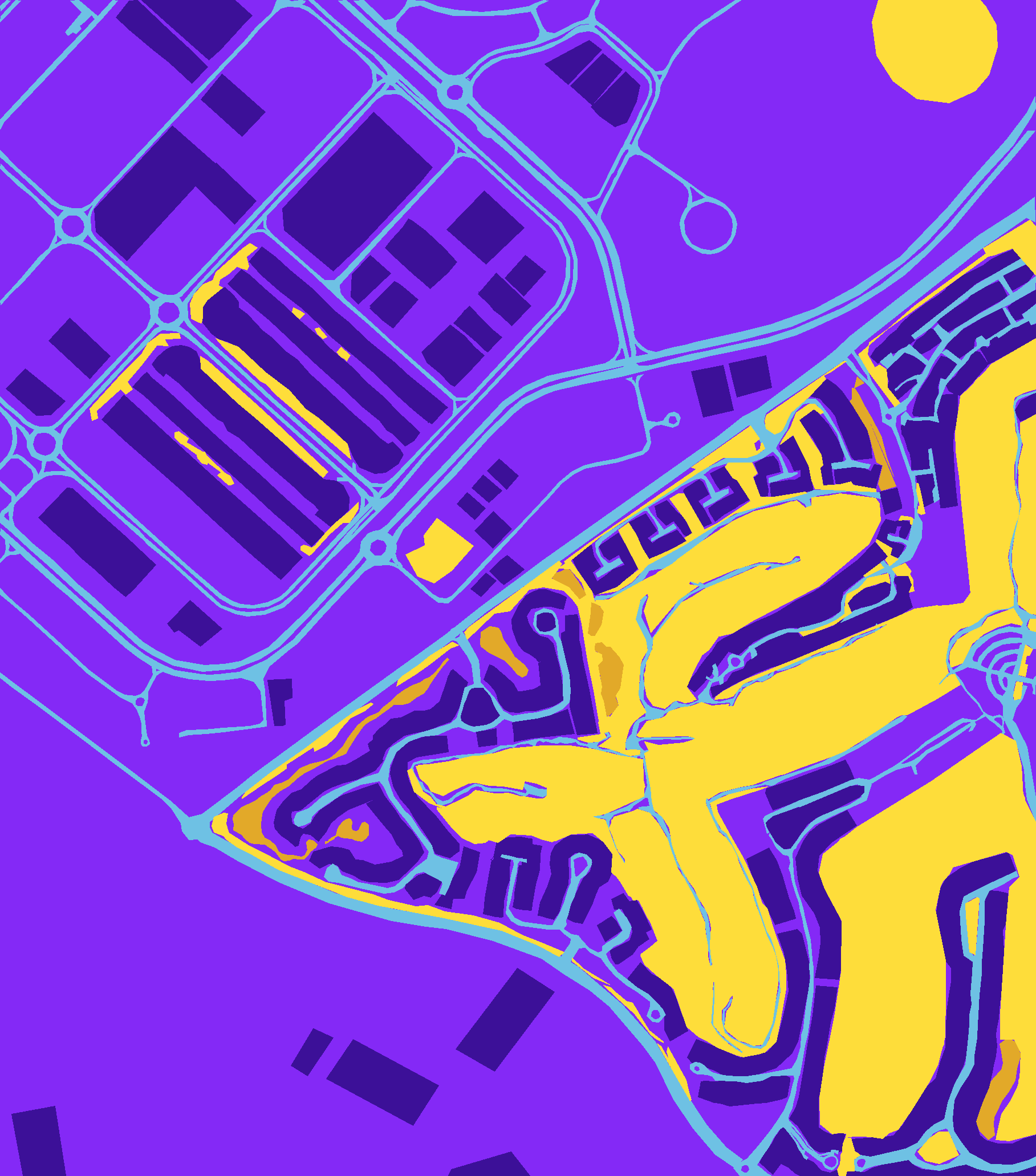
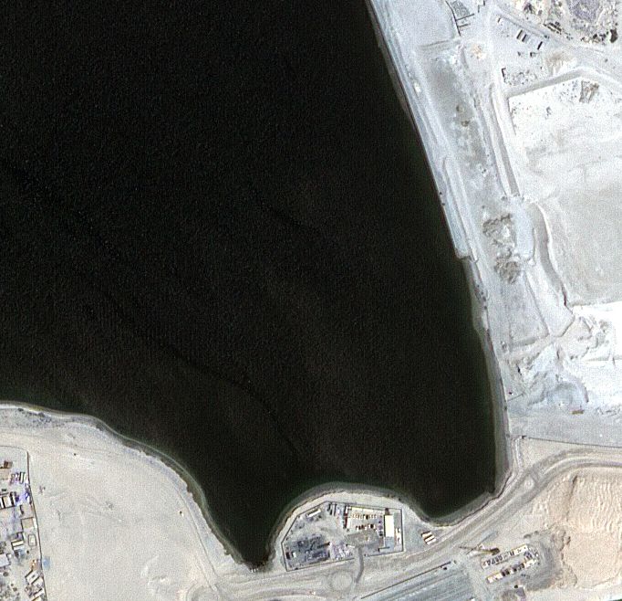
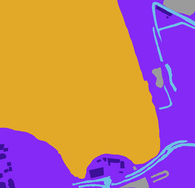
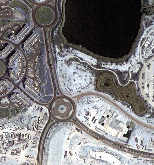
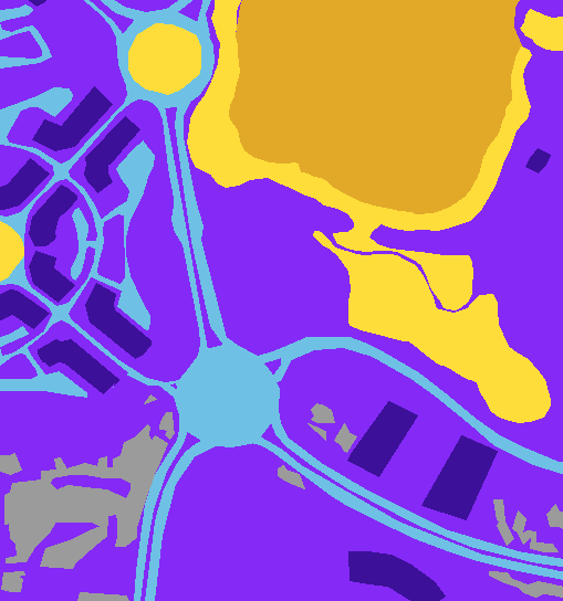
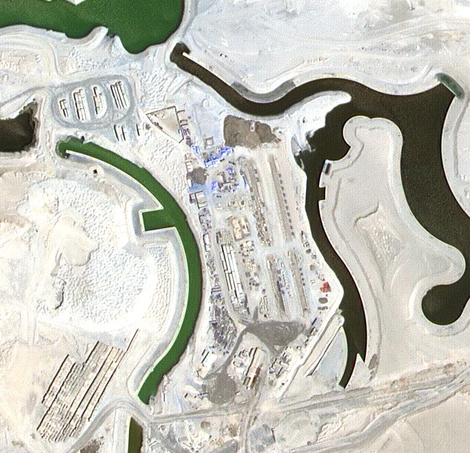
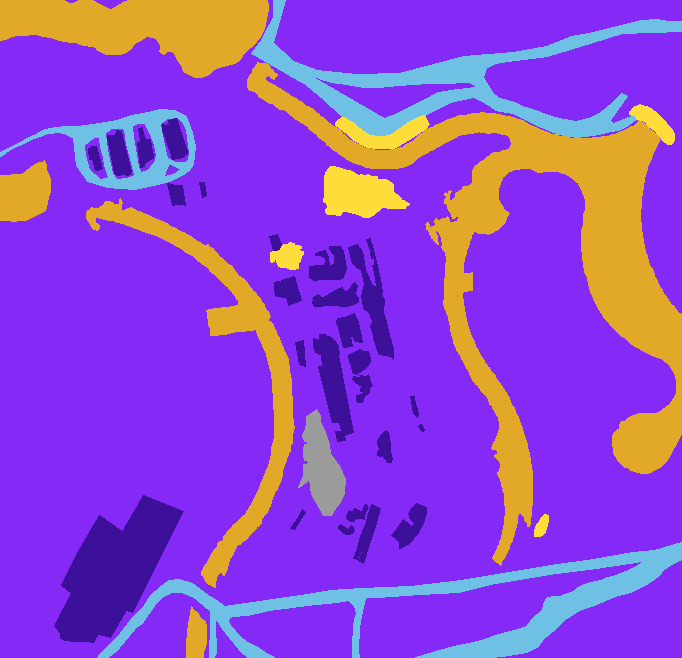
Segmentation using deep learning is a popular approach to tackle the problem of Deep Semantic Segmentation. The goal is to get a mask composed of 6 categories from a satelite image taken as input, to do so each pixel of the given image must be classified into one of the categories.
From Dubai's Mohammed Bin Rashid Space Center.
The dataset consists of aerial imagery of Dubai obtained by MBRSC satellites and annotated with pixel-wise semantic segmentation in 6 classes.
link : click
| Image | Mask |
|---|---|
