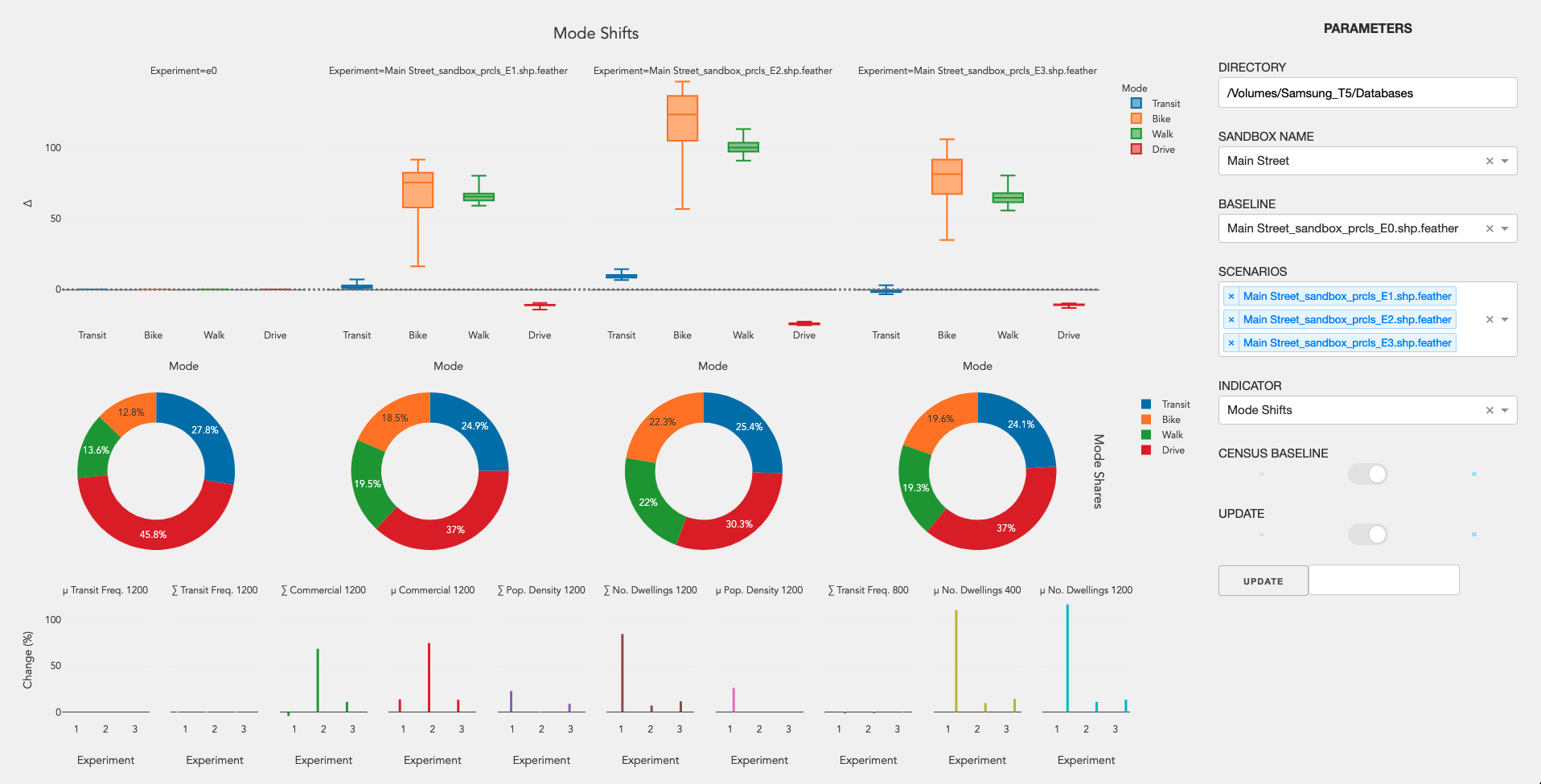
Applies a random forest model to predict mobility mode shares, mode shifts and GHG emissions for urban parcels in different urban form future scenarios.
Urban form data (explanatory) is aggregated using network analysis tools from Pandana. The data was trained using data from Metro Vancouver, Canada.
- Transit Frequency, downloaded from OpenMobilityData;
- Commercial Land Use, inferred from OpenStreetMap data and downloaded using OSMnx;
- Population Density, downloaded from Statistics Canada;
- Number of Dwellings, also downloaded from Statistics Canada.
The predictive model was developed using the RandomForestRegressor object from Scikit-Learn. Training algorithm can be downloaded from GeoLearning The trained model can be found at the regression folder.
When more than one urban form layer is analyzed, mode shifts results can be calculated and displayed in a Plotly dashboard.

