NYC Historical Streets
This repository contains shapefiles with street centerlines, traced with QGIS, from a selection of historical map layers of New York City from NYPL’s Map Warper.
The shapefiles from this repository are used by various parts of the NYC Space/Time Directory project.
Note: if you're interested in only using the data in this repository (instead of also editing and improving the Shapefiles), it might be easier to use the data published on the website of the NYC Space/Time Directory.
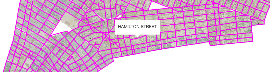
Coverage Map
To see which parts of New York City are covered by the shapefiles in this repository, please see this map.
Contributing
You can contribute by tracing streets from one of the unfinished layers in the table below, or by adding a new layer from Map Warper. A detailed tutorial is available on how to use QGIS to trace historical maps from Map Warper.
To contribute, fork this repository, and make a pull request when you're finished. If you’re adding a new layer, don’t forget to also add the layer to layers.json.
Status
See Also
- Mauricio Giraldo’s animation of tracing historical streets