Micronekton Imagery Pipeline + AI
| Name | Location | Role |
|---|---|---|
| Ryan Downie | Australia | Project Leader |
| Bowen Zhang | Australia | Contributor |
| Reg Dowse | Australia | Contributor |
| Candice Untiedt | Australia | Contributor |
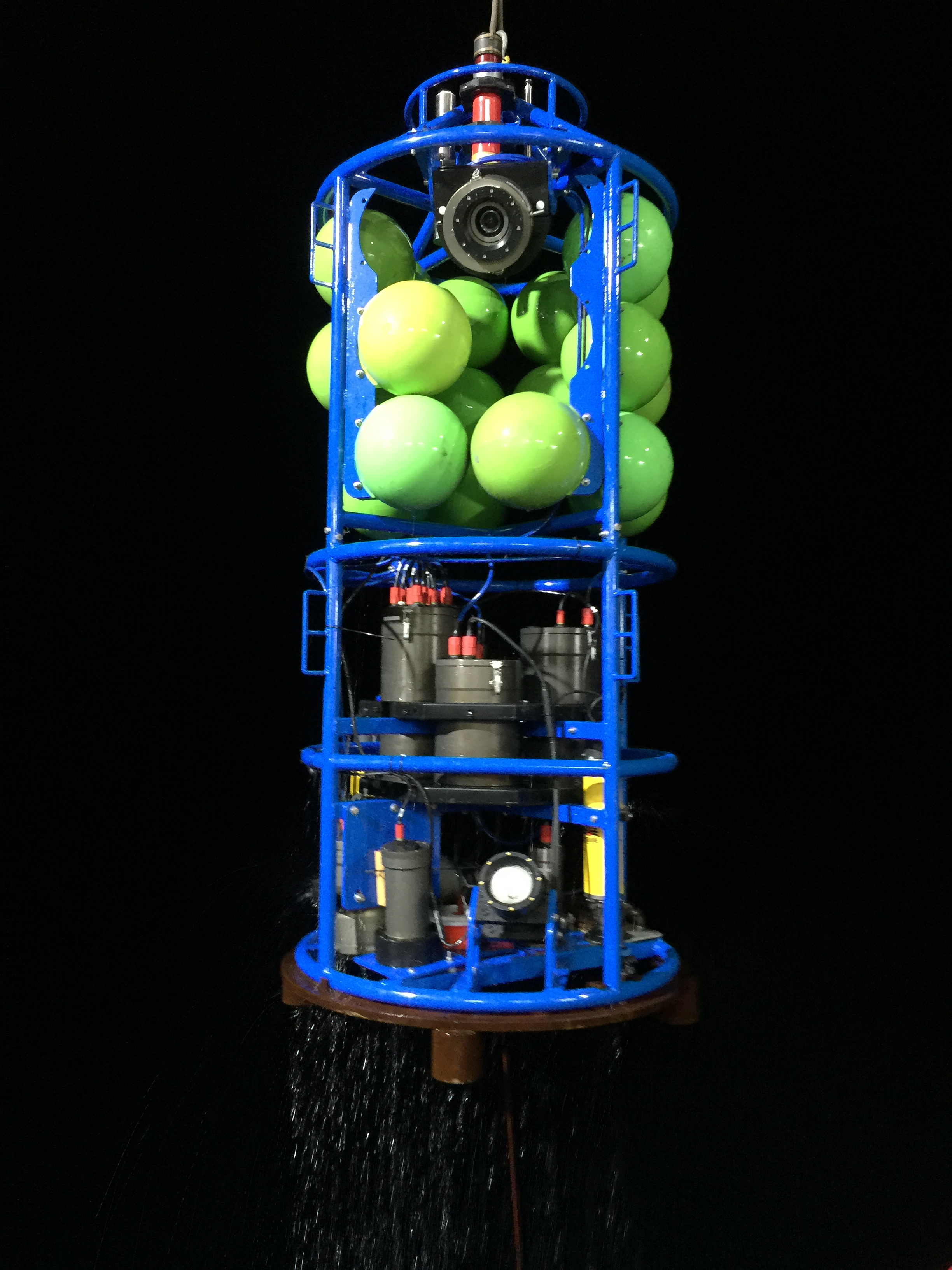
The PLAOS platform used by CSIRO collects vertical profile data through the water column including physical, acoustic and imagery data.
-
Interface with the marimba platform by developing a PLAOS pipeline to manage and process data. Marimba is a Python framework designed for efficient processing of FAIR (Findable, Accessible, Interoperable, and Reusable) scientific marine image datasets.
-
Apply an an existing AI-ML model FathomNet/MBARI-midwater-supercategory-detector to imagery from the oblique camera in order to detect midwater faunal classes and develop a mosaic of images for the detected classes.
-
PLAOS data: acoustic, imagery (vertical stereo cameras and oblique camera) and log data
-
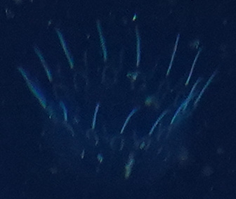
Oblique imagery from IN2020_V08
- The FathomNet/MBARI-midwater-supercategory-detector was successfully run on oblique camera stills imagery from 15 stations (subset) to detect 16 faunal classes.
a. Original image with bounding box predictions
b. Cropped bounding box of predicted classes for each image
c. .txt file with all the bounding box information for each image
link to text file for this image
d. csv file with predictions and confidence levels for each image in the processed batch
link to csv file for processed images in this batch
e. mosaic of detected class images for each station, arranged by class and including a text overlay


