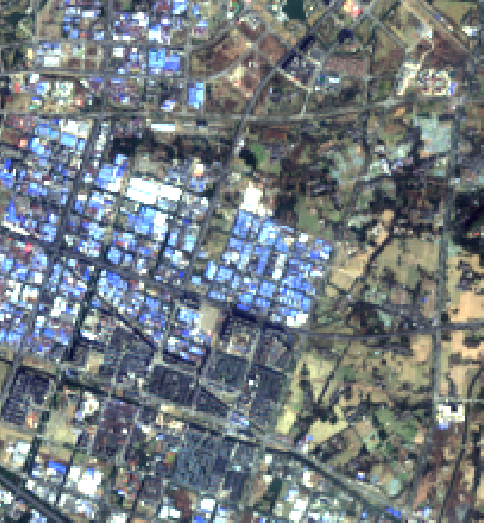
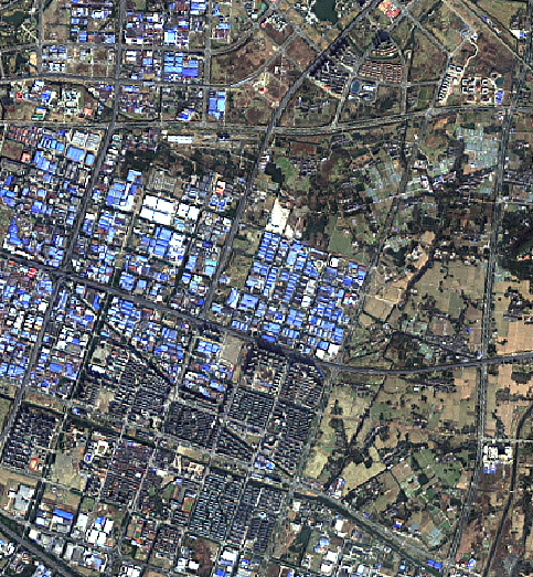
Implementation of PanNet by Chainer. Landsat 8 images are used in this repository.
| Original RGB (resolution: 30m) | Pansharpened by PanNet (resolution: 15m) |
|---|---|
 |
 |
Original RGB image is created by gdal_merge. Both images are screenshots of QGIS on my laptop.
Please see examples/demo_on_colab.ipynb
- PanNet: A deep network architecture for pan-sharpening http://openaccess.thecvf.com/content_iccv_2017/html/Yang_PanNet_A_Deep_ICCV_2017_paper.html
