Tobler is a python package for areal interpolation, dasymetric mapping, and change of support.
tobler provides:
- areal interpolation for intensive and extensive variables
- use raster files to improve interpolation accuracy
- areal interpolation assuming data should only be allocated to specific land types
- model-based interpolation using regression approaches that incorporates auxiliary data
- Much more to come!
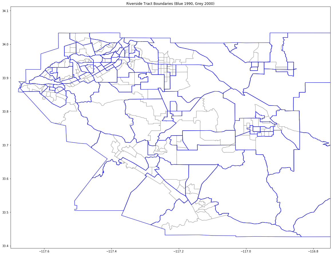
Easily convert geospatial data from one polygonal representation to another:
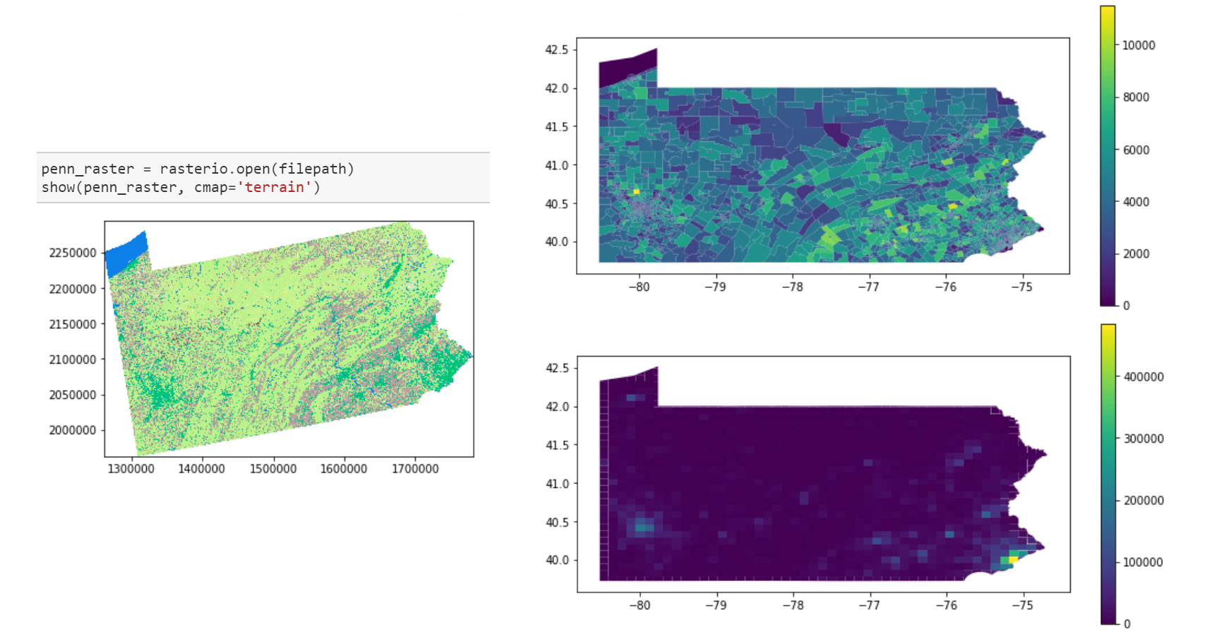
Improve conversion accuracy by incorporating raster image data from satellites:
$ conda env create -f environment.yml
$ conda activate tobler
$ python setup.py developPySAL-tobler is under active development and contributors are welcome.
If you have any suggestion, feature request, or bug report, please open a new issue on GitHub. To submit patches, please follow the PySAL development guidelines and open a pull request. Once your changes get merged, you’ll automatically be added to the Contributors List.
The project is licensed under the BSD license.
Award #1733705 Neighborhoods in Space-Time Contexts
Award #1831615 Scalable Geospatial Analytics for Social Science Research


