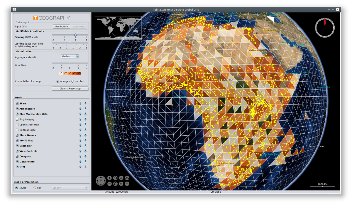
A Java application that illustrates the Modifiable Areal Unit Problem (MAUP), a long-standing issue in spatial statistics and geographic analysis. This app uses NASA's WorldWind virtual globe to visualize point datasets aggregated to various resolutions on a discrete global grid system (DGGS), namely Geoffrey Dutton's quarternary triangular mesh (QTM). The DGGS level can be chosen, thus changing bin size, and it can be slid east to west, changing bin location; these two behaviors illustrate the scaling and zoning aspects of the MAUP, respectively, in relative isolation from each other.
This software accompanies the following academic paper:
Raposo, P., Robinson, A., & Brown, R. (2019). A Virtual Globe Using a Discrete Global Grid System to Illustrate the Modifiable Areal Unit Problem. Cartographica, 54(1), 51-62.
