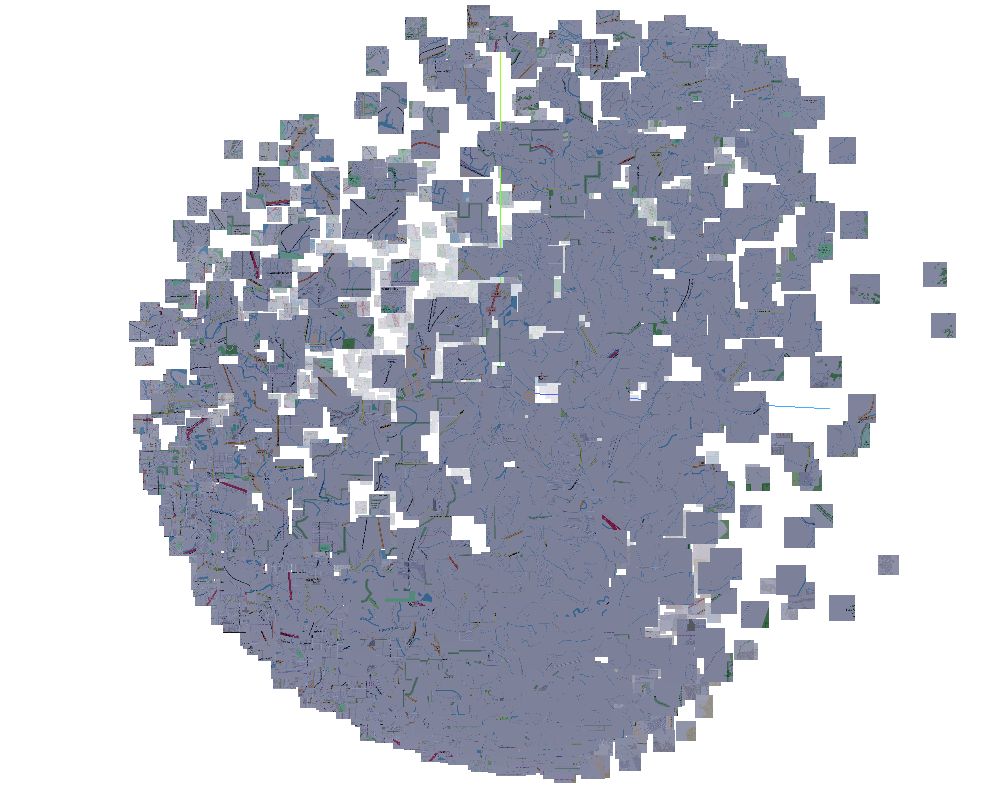
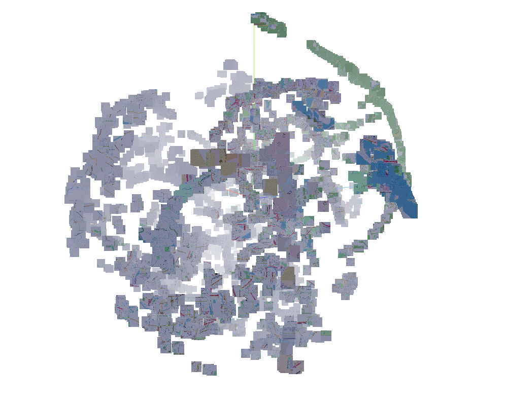
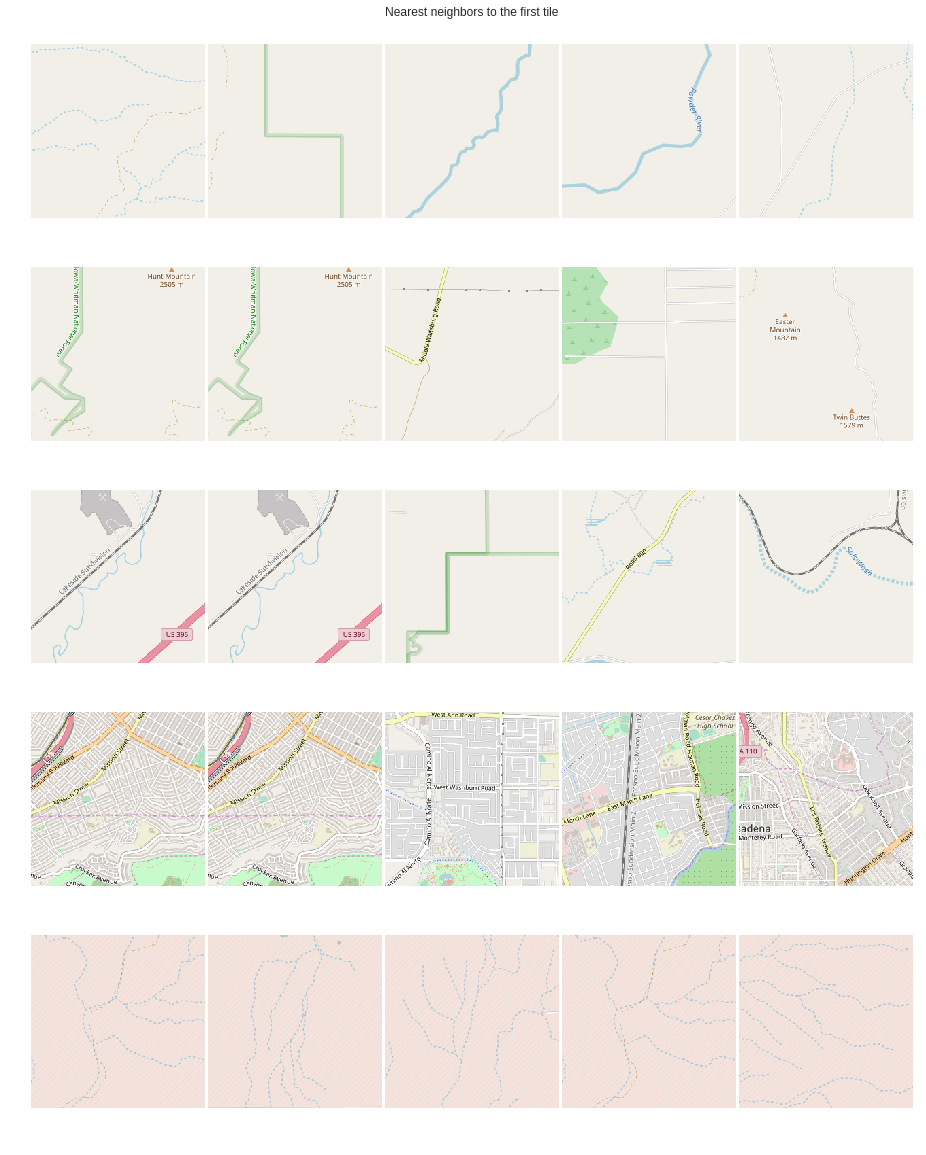
This project is inspired by this excellent blogpost: https://www.sentiance.com/2018/05/03/venue-mapping/
Read my blog post for implementation details and choices made
Note: This implementation requires FP16 support. If your GPU does not have that, just disable it with amp.init(enable=False) in trainer.py. You might also have to change the batch size in config.py.
Elaborate instructions are provided in the Readme file.
Alternatively, you can blindly use load.sh file after changing the path to the pbf file to create the file server. lat2tile.py has a quick utility function to generate all the tiles for the US-west region. You can generate a list of urls using the following. Once you have the following and download the tiles.
# download the us-west-latest.osm.pbf and change the path in load.sh
sh load.sh
python lat2tile.py > urls.txt

# start the server
docker run -p 80:80 -v openstreetmap-data:/var/lib/postgresql/10/main -d overv/openstreetmap-tile-server run
cat urls.txt | xargs -P 10 -n 1 wget -nH -nc -x
- Siamese-Triplet Implementation - https://github.com/adambielski/siamese-triplet
- OpenstreetMap TileServer - https://github.com/Overv/openstreetmap-tile-server
First thanks! Below are a few things to implement. If you are a GIS expert, we can brainstorm a few ideas for collaboration. Open a issue and we can discuss there.
- Profile and remove CPU bottleneck
- Add a conda environment file to make it self contained
- Add ability to suspend and resume from training
- Ability to save checkpoint even mid-epoch based on number of hard triplets
- Add support for Fast.ai, esp Stocastic weight averaging & One cycle learning


