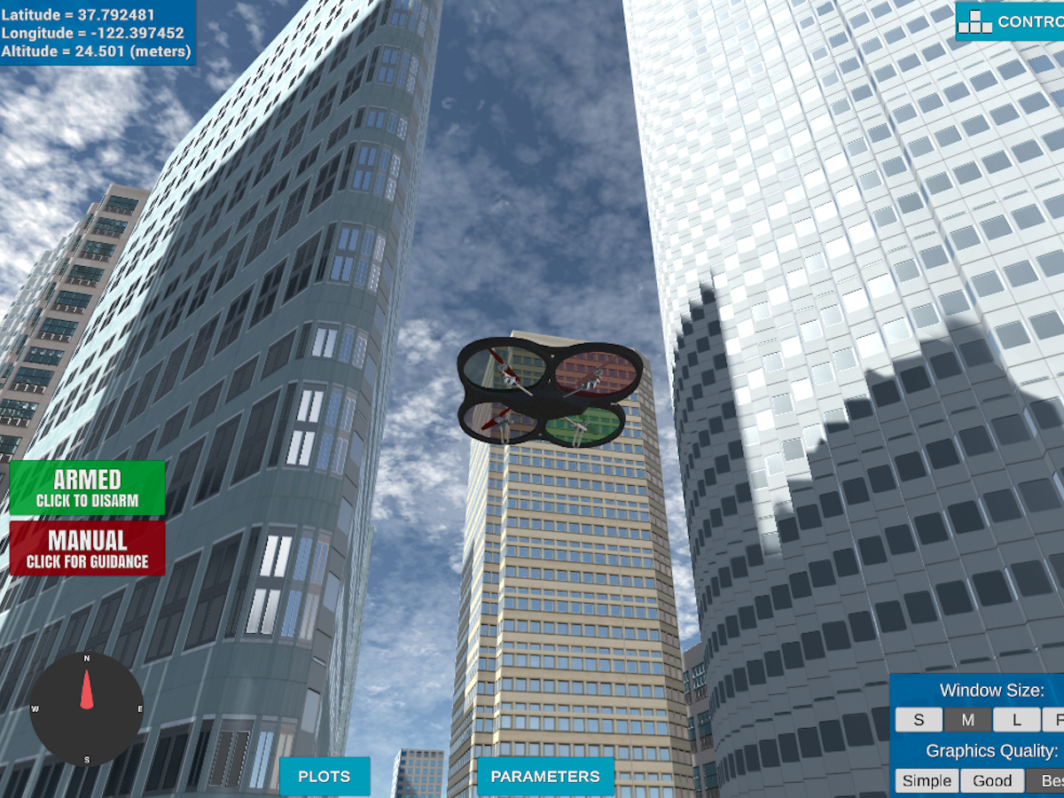
The code snipped below reads the first line of the colliders.csv, extracts lat0 and lon0 and use them to set the global home position.
# Read lat0, lon0 from colliders into floating point values
lat0, lon0 = read_home('colliders.csv')
# Set home position to (lon0, lat0, 0)
self.set_home_position(lon0, lat0, 0)
Below the definition of the read_home function:
def read_home(file):
    with open(file) as f:
        lat, lon = f.readline().split(',')
        lat, lon = float(lat.split(' ')[-1]), float(lon.split(' ')[-1])
    return lat, lon
And here is a lovely picture of our downtown San Francisco environment from above!

Retrieve the current global position and convert it to local position.
# Convert to current local position using global_to_local()
current_position= [self._longitude, self._latitude, self._altitude]
self._north, self._east, self._down = global_to_local(current_position, self.global_home)This is another step in adding flexibility to the start location.
# Read in obstacle map
data = np.loadtxt('colliders.csv', delimiter=',', dtype='Float64', skiprows=2)
# Define a grid for a particular altitude and safety margin around obstacles
grid, north_offset, east_offset = create_grid(data, TARGET_ALTITUDE, SAFETY_DISTANCE)
print("North offset: {0}, East offset: {1}".format(north_offset, east_offset))
# Define starting point on the grid
grid_start = (int(np.ceil(-north_offset + self.local_position[0])), int(np.ceil(-east_offset + self.local_position[1])))This step is to add flexibility to the desired goal location. Should be able to choose any (lat, lon) within the map and have it rendered to a goal location on the grid.
# Set goal as some arbitrary position on the grid
local_target_position = global_to_local(self.global_target_position, self.global_home)
grid_goal = (int(np.ceil(-north_offset + local_target_position[0])), int(np.ceil(-east_offset + local_target_position[1])))Add four new actions in for diagonal motion:
SOUTH_WEST =(-1,-1, np.sqrt(2))
NORTH_WEST =(1,-1, np.sqrt(2))
SOUTH_EAST =(-1, 1, np.sqrt(2))
NORTH_EAST =(1, 1, np.sqrt(2))
Check if actions are valid:
if y - 1 < 0 or x - 1 < 0 or grid[x - 1, y - 1] == 1:
    valid_actions.remove(Action.SOUTH_WEST)
if y - 1 < 0 or x + 1 > n or grid[x + 1, y - 1] == 1:
    valid_actions.remove(Action.NORTH_WEST)
if y + 1 > m or x + 1 > n or grid[x + 1, y + 1] == 1:
    valid_actions.remove(Action.NORTH_EAST)
if y + 1 > m or x - 1 < 0 or grid[x - 1, y + 1] == 1:
    valid_actions.remove(Action.SOUTH_EAST)
Run the A* Algorithms to find a path from start to goal:
#Compute the lowest cost path with a_star
path, _ = a_star(grid, heuristic, grid_start, grid_goal)For this step you can use a collinearity test or ray tracing method like Bresenham. The idea is simply to prune your path of unnecessary waypoints.
# Prune path to minimize number of waypoints
pruned_path = prune_path(path)python motion_planning.py --target_lat=37.792572 --target_lon=-122.397336 --target_alt=0.Start location: Lon: 37.792572, Lat: -122.397336, Alt: 0.0
Target location: Lon: 37.793658, Lat: -122.398028, Alt: 0.0
