For installation and usage use Wiki
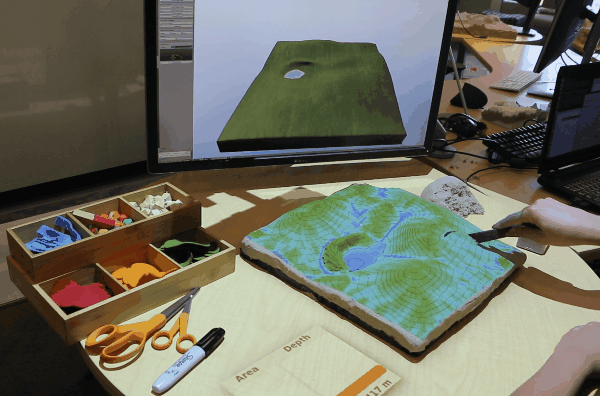
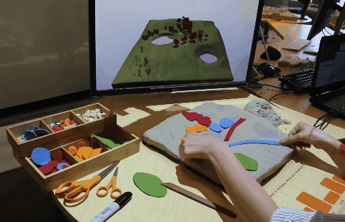
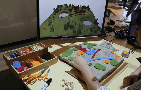
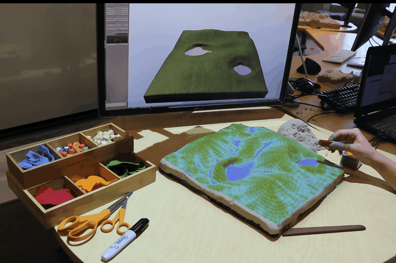
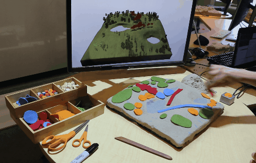
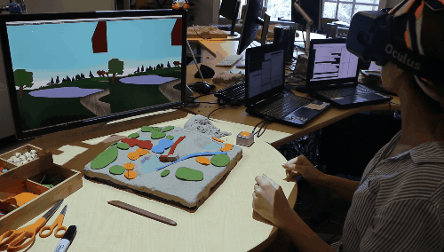
We have paired GRASS GIS with Blender to allow real-time 3D rendering and immersion with Tangible Landscape -- a tangible interface for geographic information systems (GIS) that couples physical and digital models of a landscape so that users can intuitively explore, model, and analyze geospatial data in a collaborative environment. As users manipulate a tangible model with topography and objects, geospatial analyses and simulations are projected onto the tangible model and perspective views are realistically rendered on monitors and head-mounted displays (HMDs) in near real-time. Users can visualize in near real-time the changes they are making with either bird’s-eye views or perspective views from human vantage points.