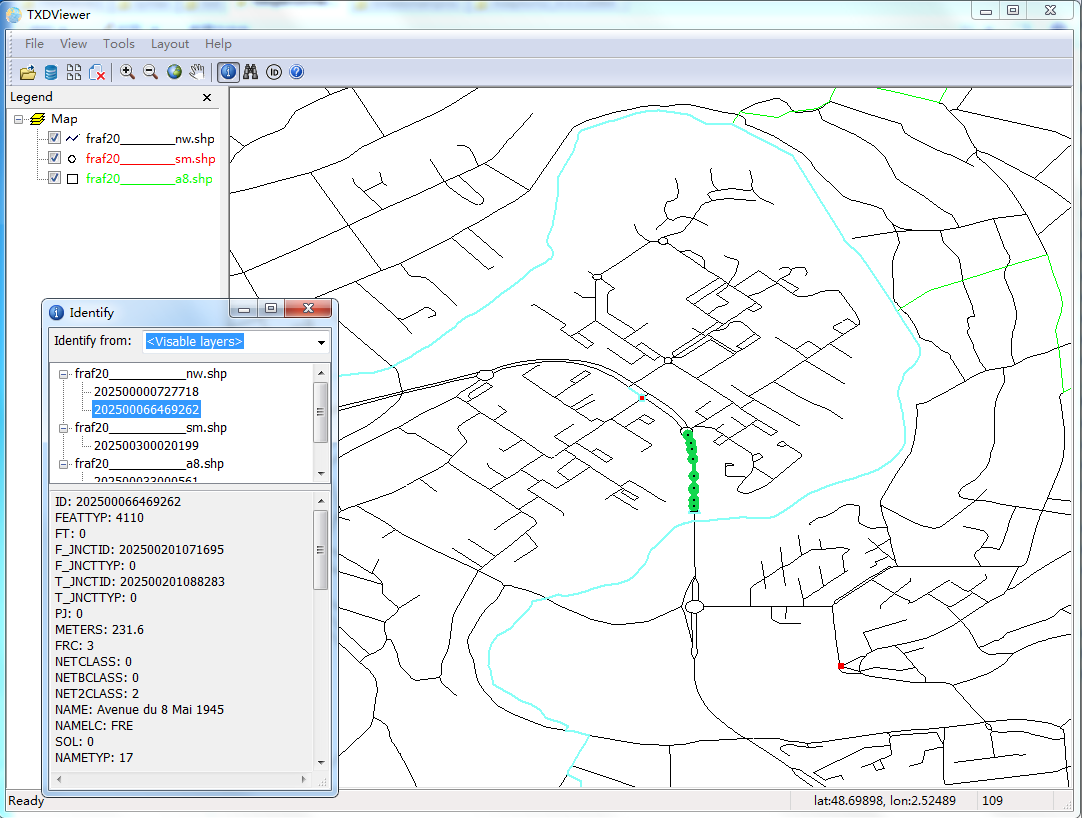
A simple GIS viewer. Very fast and low memory usage.
- In 'Pan' Mode, Mouse left button down to move map
- In 'Identify' Mode,
- Mouse left button click to select one feature,
- Mouse right button click to draw a rectangle, select features in the rectangle.
- Mouse wheel to zoom in and zoom Out
- Now support Shapefile and PostGIS (File -> Connect DB)
- Show feature's ID
- Search by coordinates and feature ID
- Support drag & drop
- Loading data asynchronously
- Support SQL when loading PostGIS data
- Ctrl + F Find a feature by ID
- Ctrl + L Locate to a coordinates
- Ctrl + D Pan Mode
- Ctrl + E Identify Mode
- ESC Close sub window, such as Locate Window and Identify Window
