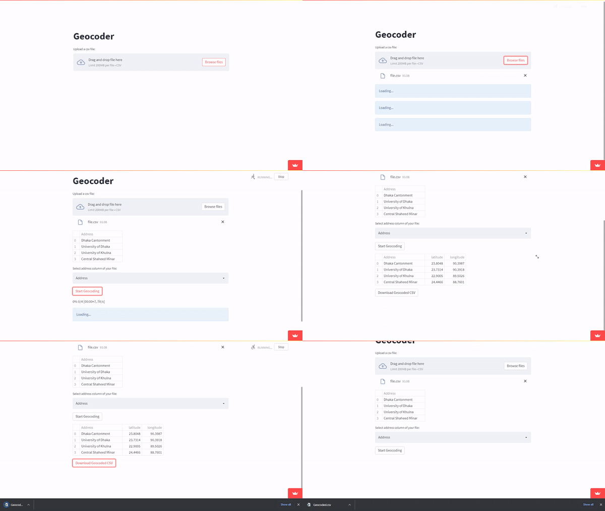
A geocoder with UI made with Openstreetmap's Nominatim API, Python and Streamlit.
The app is deployed here

To use it, upload a csv file(size < 200mb) and select the address column of your csv file and start geocoding!
Due to heavy user load, the server may through a timeout error. So it is suggested to use the app locally on your own desktop. You need to have python installed and make sure you add it to your path when you install. Then just follow these steps to get up and running.
- Clone this repository or just download as zip.
git clone https://github.com/rezw4n/Geocoder.git - Open the cloned directory.
cd Geocoder - Install all the required python packages via pip.
pip install -r requirements.txt - Fire up the app.
streamlit run Geocoder.py