This project contain the implementation of folium maps using choroplath & geojson method.
- Jupyter Notebook
Generate Geojson format using generate_coordinate.ipynb
- search region https://nominatim.openstreetmap.org
- on details copy the OSM ID (e.g 5802438)
- paste OSM_ID into ID_*.csv
- then run the generate_coordinate
- it should be generate json file (e.g JK_regencies.json)
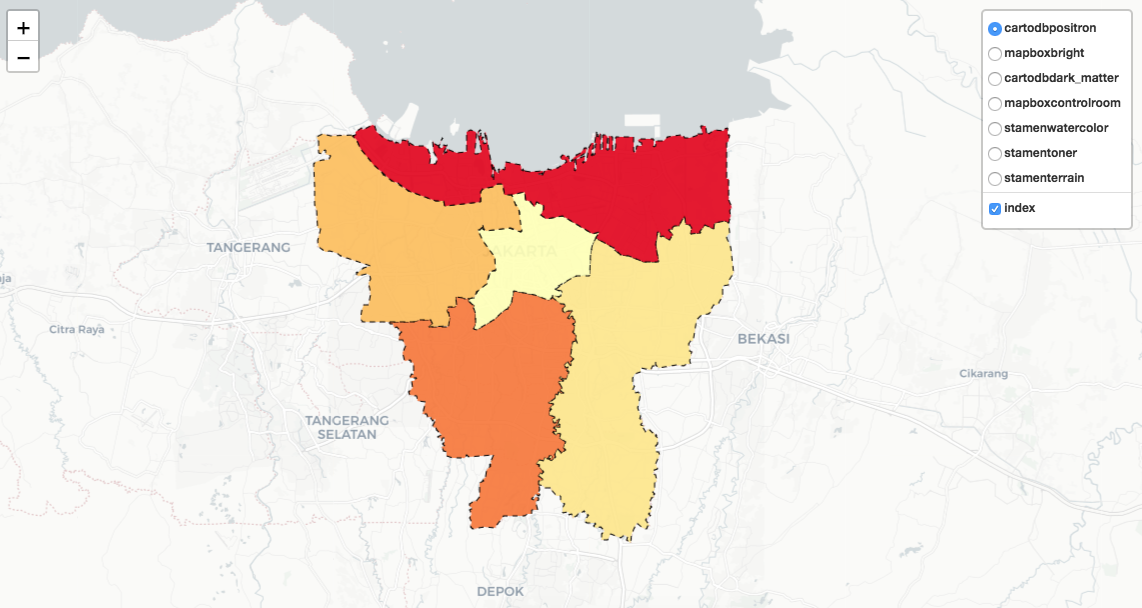 cartodbpositron cartodbpositron |
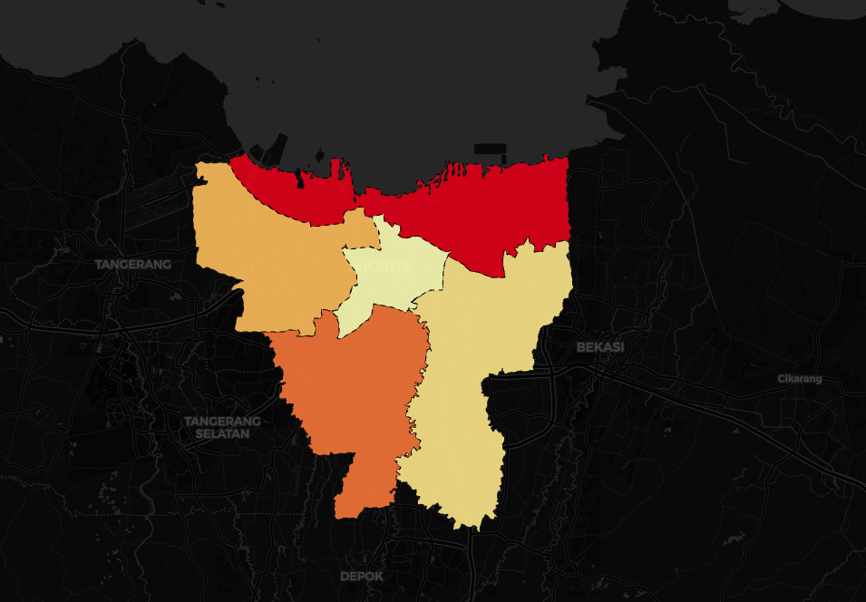 cartodbdark_matter cartodbdark_matter |
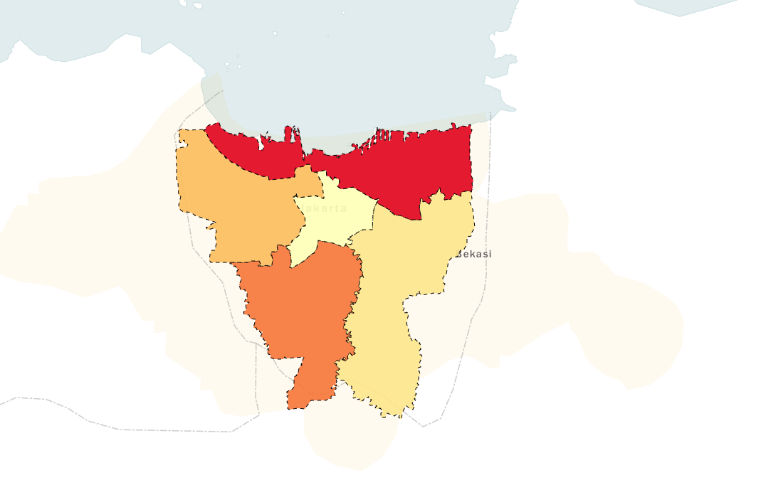 Mapbox Bright Mapbox Bright |
Mapbox Control Room |
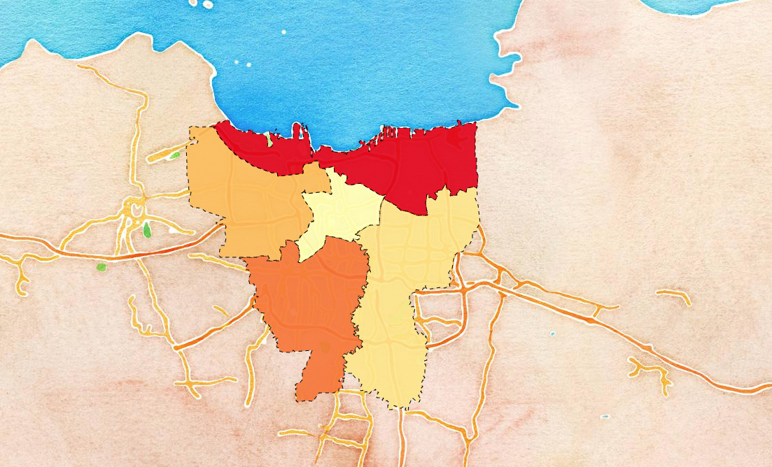 stamenwatercolor stamenwatercolor |
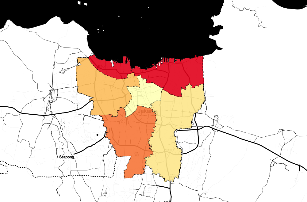 Stamen Toner Stamen Toner |
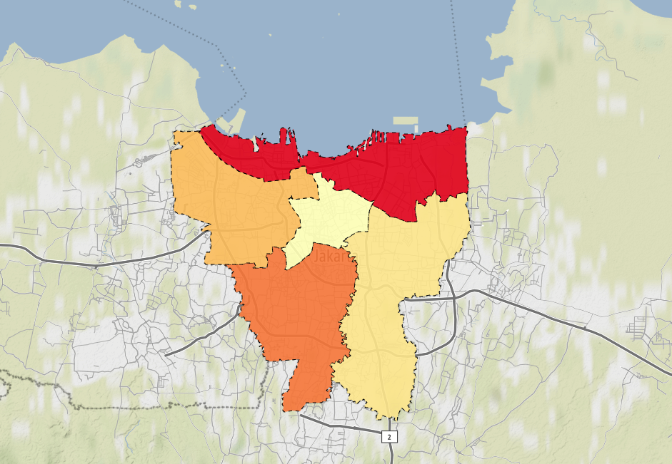 Stamen Terrain Stamen Terrain |
m = folium.Map(location=[-6.2, 106.90],tiles='OpenStreetMap', zoom_start=11)
folium.Choropleth(
    geo_data=regency_geo,
    name='choropleth',
    data=regency_data,
    columns=['Regency', 'Index'],
    key_on='feature.id',
    fill_color='YlOrRd',
    fill_opacity=1.0,
    line_opacity=0.2,
    legend_name='Index'
).add_to(m)folium.GeoJson(
regency_geo,
name='index',
style_function=lambda feature: {
'fillColor': colormap(index_dict[feature['id']]),
'color': 'black',
'weight': 1,
'dashArray': '5, 5',
'fillOpacity': 0.9,
}
).add_to(m)- folium - To build awesome maps library
- Wilayah-Administratif-Indonesia - Where data of Provinces, Regencies, & Districts comes from s